The Wayƒarers Journal ©

The Journal

The Wayƒarers

The Selƒ

The Journey

The Burden

The Mountain

   The Ancients
   The Earth

     Geochronology
     Continents

       Africa
       Antarctica
       Asia
       Europe
       North America

         Geographical
         Geological

           Arches
           Blue Holes
           Canyons
           Caves
           Craters
           Deserts
           Forests
           Hot Springs
           Mountains
           Parks
           Rock Spires
           Viewpoints
           Volcanoes
           Waterways

             Lakes
             Rivers
             Seas
             Springs
             Waterfalls
             Wetlands
             Water Divides

       Oceania
       South America

     Oceans

   The Life
   The Modern Man
   The Nonpareils
   The Steps
   The Way

The Appendix

The Wayƒarer
The Mountain
Go to bottom of this page
THE EARTH GALLERY
The North American Continent

The Geological Wonders: The Waterways, Lakes & Lakeshores Go Down Go Back
Lake Champlain:
Lake Champlain is a large natural inland freshwater lake in North America with an overall length of 107 miles (172 km) and surface area over 500 sq mi (1,295 km2), it lies mostly between the U.S. states of New York and Vermont, but also extends north into the Canadian province of Quebec.
The Richelieu River, which is the primary outlet has a drainage basin of 9,160 square miles (23,720 square kilometers) including those of Lake Champlaing and Missisquoi Bay. Of this drainage basis area, 7,600 square miles are in the United States originating from the western slopes of the Vermont′s Green Mountains and the eastern slopes of New York′s Adirondack Mountains. With the construction of the Chambly Canal, which opened in 1843, navigation became possible between on the Richelieu River between the Saint Lawrence River and Lake Champlain. At the southern end of Lake Champlain, the state of New York, built and which opened in 1823, the Champlain Canal, which allows navigation from Lake Champlain to the Hudson River and subsequently downstream to New York City and the Atlantic Ocean.
With a length of 124 km (77 mi), the Richelieu River takes its source at the north end of Lake Champlain, now on the border between Canada (Quebec) and the United States (Vermont and New York state) and flows through many towns in Quebec, empties into the Saint Lawrence River about 25 miles (40 kilometers) northeast of Montreal, Quebec.
Lake Chanplain Information:
Lake Category:
freshwater, natural
Lake Flow:
Primary Inflow:
Ausable River, Boquet River, Chazy River, La Chute River, Lamoille River,
Missisquoi River, Poultney River, Otter Creek, Saranac River, Winooski River and etc.
Primary Outflow:
Richelier River (Canada)
Mouth of Richelier River:
46.0481698, -73.1200217
Tributary Of:
St. Lawrence River at Sorel
Water Discharge:
12,000 cubic feet per second (330 cubic meters per second)
Lake Location:
Jurisdiction:
Vermont, New York, Quebec
Coordinates:
Outflow Location:
45.0062101, -73.3449889
Near Fort Montgomery
Inflow Location:
Missisquoi River: 44.9955031, -73.1487135
Lake Measurements:
Lake Depth:
Average Depth:
64 feet (19.5 meters)
Deepest Depth:
400 feet (120 meters)
Lake Shoreline:
Shore Length: (approximately)
587 miles (945 kilometers)
Lake Size:
Lake Length:
107 miles (172 kilometers)
Lake Width:
14 miles (23 kilometers)
Lake Surface:
Surface Area: 514 square miles ()
Surface Elevation:
95-100 feet (29 to 30 meters)
Lake Water Temperature:
Average Summer:
Average Winter:
Lake Geographical Information:
Geographical Region:
Ecoregion:

The 2026 Journey, Lake Champlain Lake Go Down Go Up
Driving the Northern Tier Route
On the tenth of June, 2026, I drive on SH 78, out of Swantown, Vermont in the northeast part of Vermont and begin to see the first Missisquoi River, then Missisquoi Bay (a northern arm of Lake Champlain).
I then stop near Newport, Vermont for a couple of days to catch up on my journal writing and rest up from the long tiring drives in Maine.
The Earth′s Waterways: Lakes and Lakeshores
Vermont: Lake Champlain Lake
(m2wa-lak-champlain-2026-0610.0951) The Lake Champlain Lake
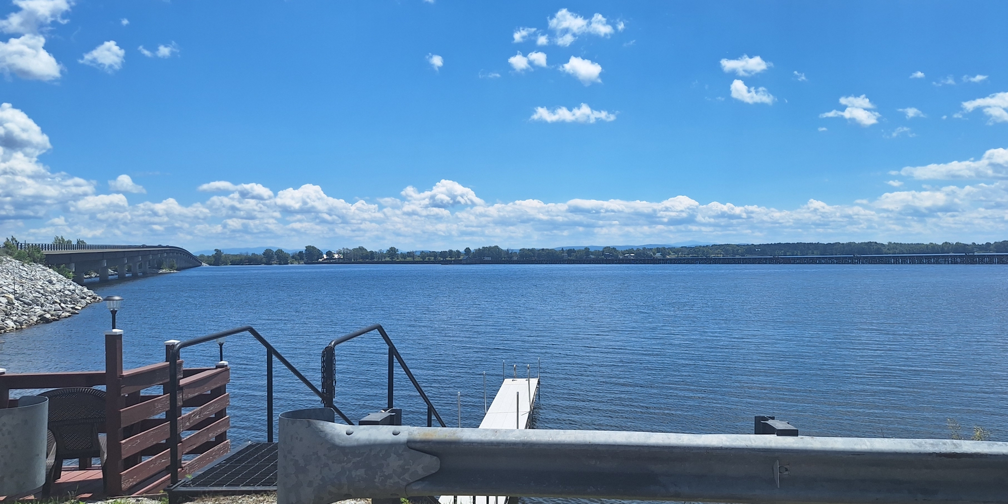
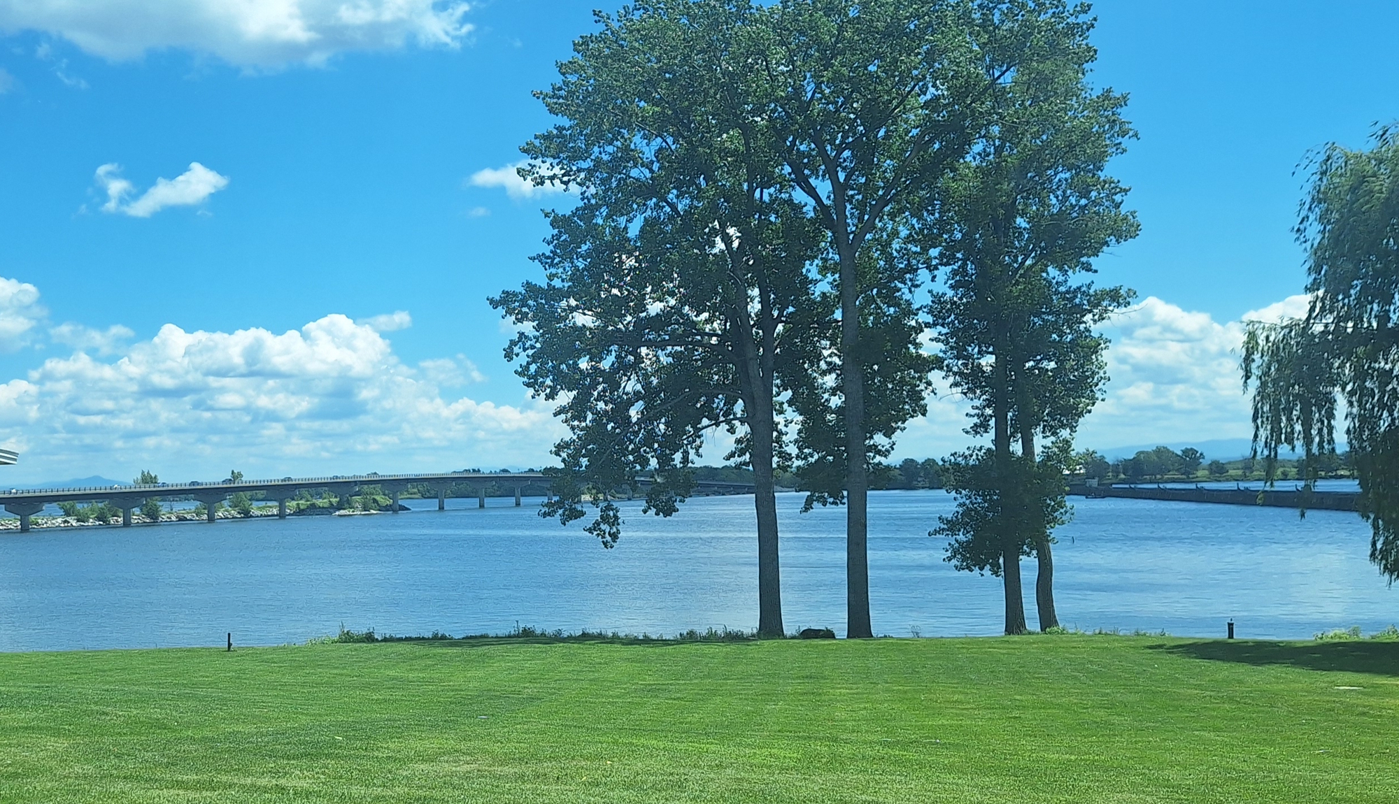
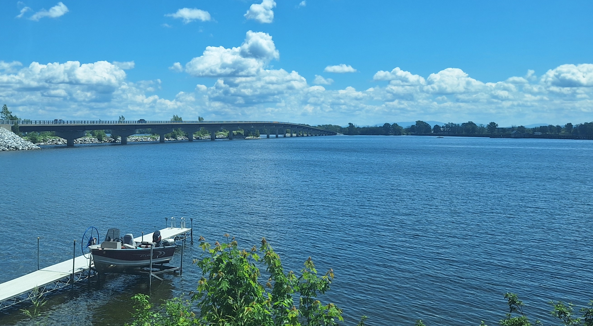
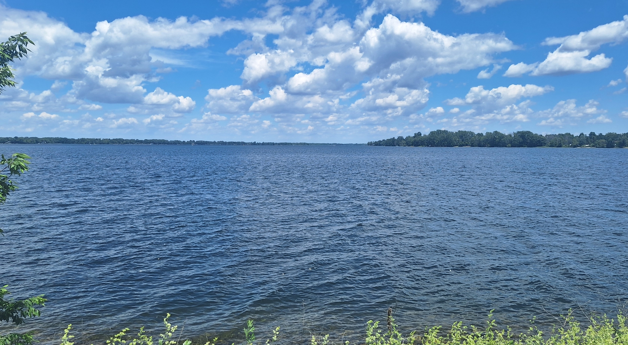
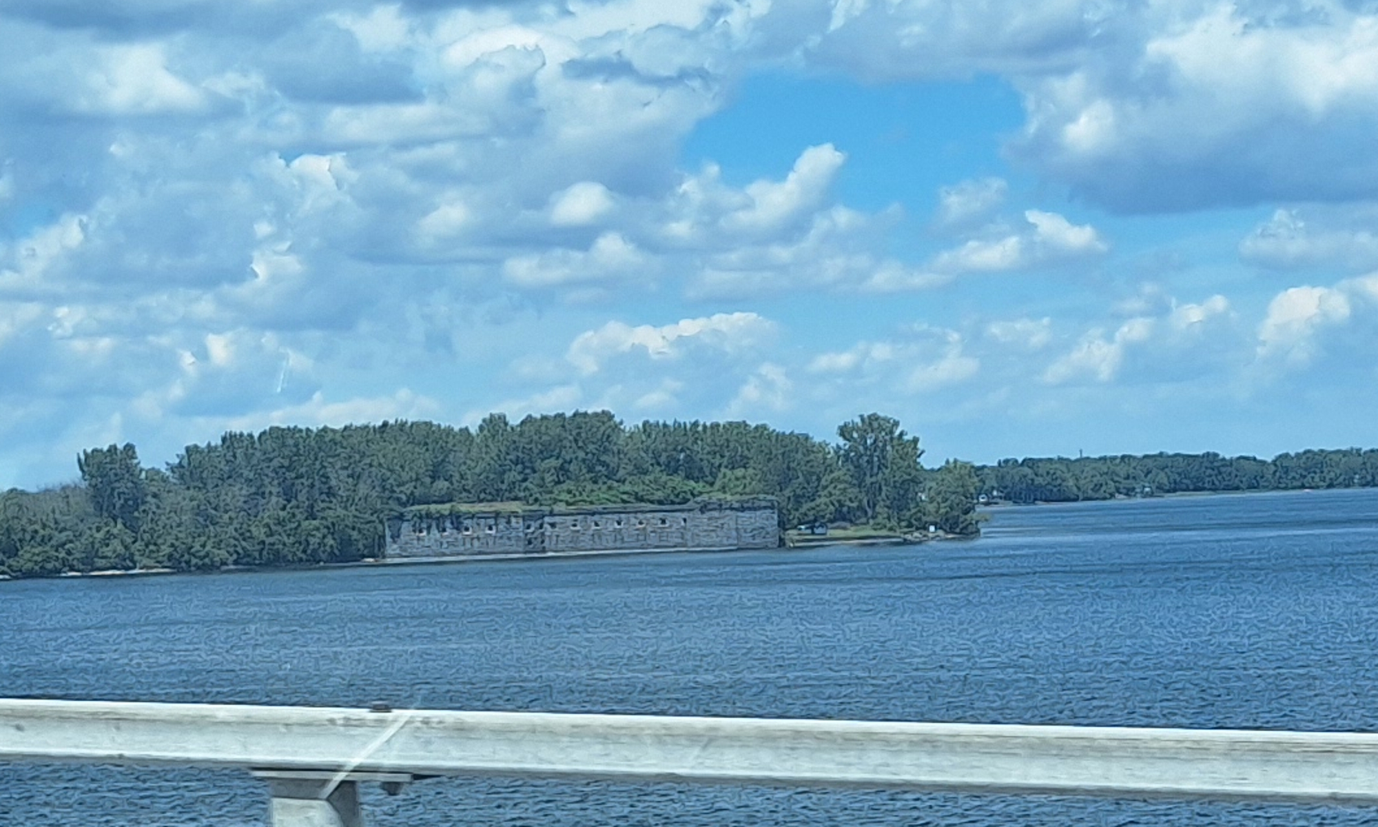
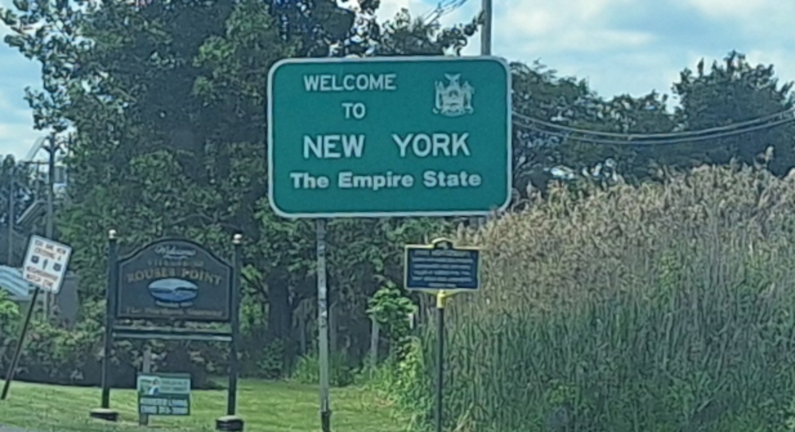
Later on the thirteenth, when crossing over the Vermont/New York state line on US 2, I see Lake Champlain again as it is flowing northward into the Richelieu River and Canada.
The Earth′s Waterways: Lakes and Lakeshores
Vermont: Lake Champlain Lake
(m2wa-lak-champlain-2026-0613.1215) Lake Champlain Lake and Richelieu River.
The Earth′s Waterways: Lakes and Lakeshores
Vermont: Lake Champlain Lake
(m2wa-lak-champlain-2026-0613.1216) Lake Champlain Lake and Richelieu River.
The Earth′s Waterways: Lakes and Lakeshores
Vermont: Lake Champlain Lake
(m2wa-lak-champlain-2026-0613.1217) Lake Champlain Lake and Richelieu River.
The Earth′s Waterways: Lakes and Lakeshores
Vermont: Lake Champlain Lake
(m2wa-lak-champlain-2026-0613.1218) Lake Champlain Lake and Richelieu River.
The Earth′s Waterways: Lakes and Lakeshores
Vermont: Lake Champlain Lake
(m2wa-lak-champlain-2026-0613.1219) Lake Champlain Lake and Richelieu River.
The Earth′s Waterways: Lakes and Lakeshores
Vermont: Lake Champlain Lake
(m2wa-lak-champlain-2026-0613.1237) Lake Champlain Lake and Richelieu River.
The Earth′s Waterways: Lakes and Lakeshores
Vermont: Lake Champlain Lake
(m2wa-lak-champlain-2026-0613.1239) Lake Champlain Lake and Richelieu River.
The Earth′s Waterways: Lakes and Lakeshores
Vermont: Lake Champlain Lake
(m2wa-lak-champlain-2026-0613.1240) The End of the Northern Tier Route in Vermont

To go back to Earth′s Lakes Index, click on down arrow. Go Back Go to previous section
on this page

Thank you for visiting The Wayƒarers Journal.

See Ya above the Treeline!

This Page Last Updated: 30 June 2026


To continue to the next Episode Level page, Click here go to top
 
The Wayƒarers Journal © ::: Come Join the Journey ™
by Thom Buras
Come Join the Journey ™