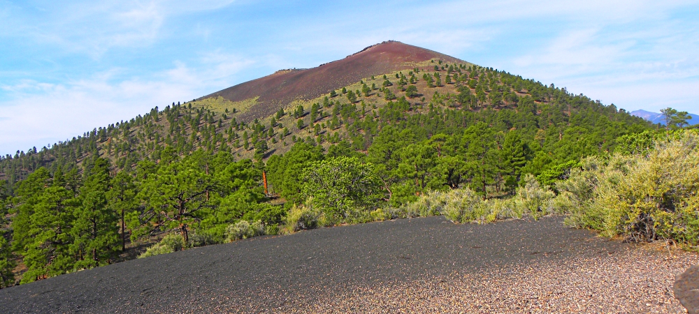
1084 CE
Access to Summit:
Closed
Location:
Coordinates:
Visitor Center: 35.369140, -111.543341
Coordinates:
Crater: 35.364444, -111.503611
Nearest City:
Flagstaff, Arizona
Best Route to Top:
Closed
Geographical Data:
Sunset Crater Volcano National Monument is located on the traditional lands of both the
Hopi family group and the
Diné speaking people. Several other Indigenous tribes and people have historical, spiritual and traditional relationships to this land and this volcano.
Some of the tribes that are traditionally associated include: A:shiwi, Tonto Apache, White Mountain Apache, San Carlos Apache, Yavapai-Apache Nation, San Juan Southern Paiute, Kaibab Band of Paiute, Fort McDowell Yavapai, Havasupai, and Hualapai,.
Ancient Cultures:
The Earth
National Parks and Monuments:
National Park Visitors Center (35.065640, -109.782018)
NPS, Arizona
NM Visitors Center (35.172163, -111.509519)
NPS, Arizona
Visitors Center (35.520339, -111.371133)
NPS, Arizona
Wukoki Pueblo Ruins
(35.529658, -111.328547)
Cinder Hill Overlook
(35.371394, -111.490349)
Painted Desert Vista
Picnic Area (35.390725, -111.432357)lo
Little Colorado River Grand Falls
(35.427815, -111.199735)
The Modern Man
Bonito Campground
(35.370335, -111.543502)
Little Colorado River Grand Falls Campground
(35.427815, -111.199735)
The Steps
Steps Afoot
A′a Trailhead
(35.363544, -111.522709)
Lava Flow Trail
(35.363155, -111.518234)
Lenox Crater Trailhead
(35.363628, -111.523256)
Steps Afield