|
Russell Cave, Alabama
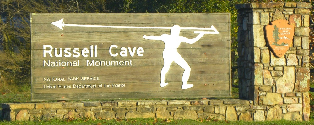
The Russell Cave is a US national monument in extreme northeast Alabama. This monument was established on 11 May 1961 when just over 300 acres of land was donated b the National Geographic Society to the people of this country.
The cave is believed to have been used as a seasonal winter shelter. The surrounding forests would have provided ample hunting and fishing for food, wood for fires, as well as materials for tool creation.
Found throughout the eastern hemisphere, and believed to have been brought across the land bridge known as Beringia during the end of the last glaciation, those who crossed to this hemisphere used a tool proving most beneficial.
This tool is known as the
atlatl or spear-thrower. The atlatl is a tool that uses leverage to achieve greater velocity in spear-throwing, and includes a bearing surface which allows the user to store and apply energy during the throw.
Russell Cave Information:
Description:
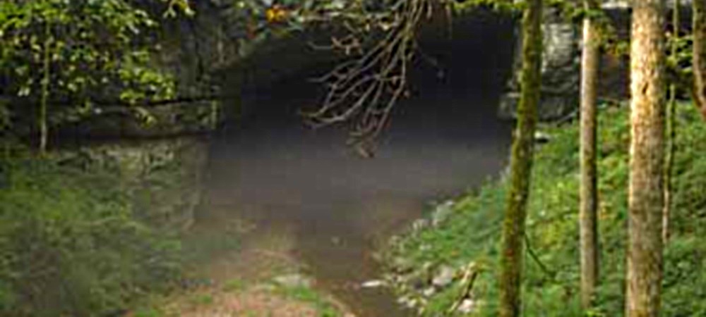
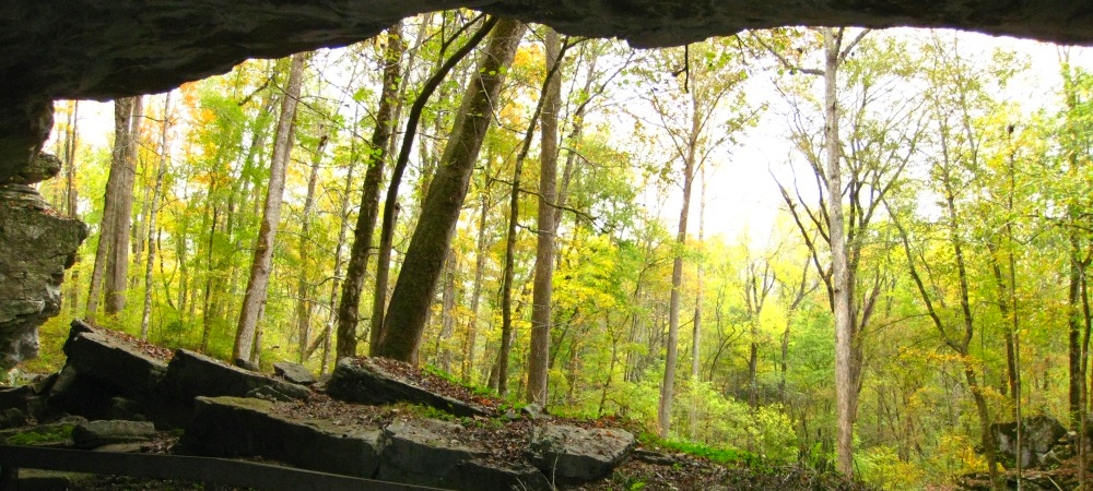
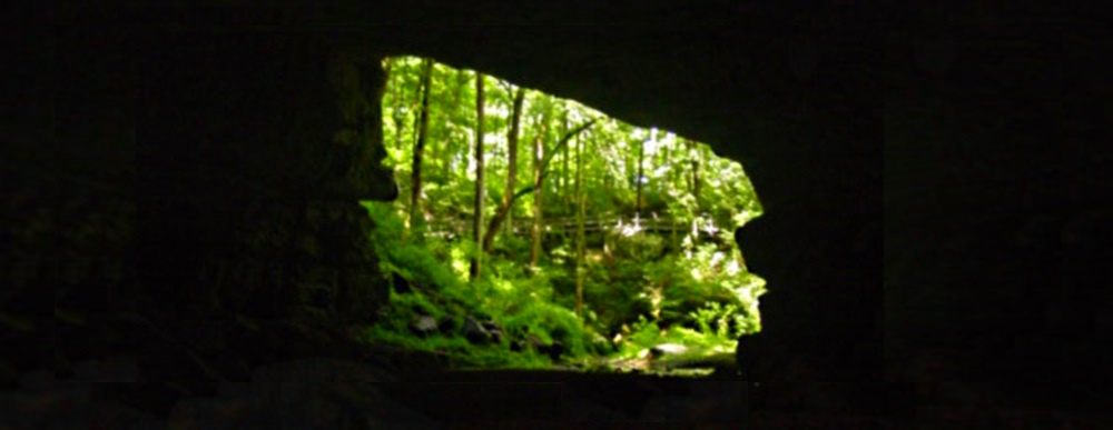
Russell Cave has a large main entrance, which has been used by prehistoric indigenous people for thousands of years. The mouth of the cave faces towards the east and prevents the ingress of cold winds from the north and northwest as well as allows for morning sun.
This cave has a length of 7.2 miles of mapped length and is the third longest cave in Alabama.
The rock from which Russell cave was cut out was formed about 300 million years ago during the Carboniferian Period when carbonaceous deposits of skeletons and shells were being transformed into limestone. Rainwater, mildly acidic from atmospheric carbon dioxide slowly dissolved that limestone rock and resulted in the creation of this cave.
Then, some several thousand years ago, the cavern roof collapsed creating a sinkhole and in the process, exposed Russell Cave.
Cave Type:
Limestone Karst
Cave Length:
7.2 miles
Location:
Directions:
This national monument is located less than a mile from the Tennessee state line in the northeast section of Alabama on County road 98.
From eastbound IH 24, take exit 152 and turn right (south) on US 72. From west bound IH 22, take exit 152a and continue south on US 72.
Drive south on US 72 through South Pittsburg, Tennessee and continue to the Alabama state line. After crossing the state line, drive another four miles to County Road 75 and turn right (east) and drive one mile to County Road 98. Turn right (north) onto CR 98 and drive 3 3/4 miles to the entrance to the National Monument Road. Turn left into the monument.
Coordinates:
34.9789978, -85.810040
Elevation:
670 feet
Geographical Region:
Appalachian Mountains
The Ancients
Russell Cave has been home to many different cultural group in the region for several thousand years, making Russell Cave one of the oldest rock shelters in the eastern United States. Archeological remains found beyond the mouth of the cave and in other surrounding areas provide additional evidence and markers of this long period of settlement. The cave and associated burial sites and shelters are all the more remarkable, because the occupation and use of the area was regular, providing a chronological layering of artifacts from before recorded history to the modern era.
Created when part of the cave collapsed, the shelter inside the cave is roughly 30 by 65 yards and has a streambed that flows along the cave floor. Attracted by a year-round water source and the consistent temperature inside the cave, many indigenous people family groups regularly used Russell Cave as a seasonal dwelling place. The cave is located in a valley along the Tennessee River, which helped supply the cave occupants with shellfish and game.
Given the location of the cave within the valley, it is probable that the entire area was a hunting ground even before the formation of the cave. As the native Americans discovered the cave, and camped and lived in it, they found food and raw materials to develop tools on the land around it. They also used the surrounding land for religious ceremonies, including burial of the dead.
First Migration
(The Algonquian Cultures)
In fact, the original users of Russell Cave were the
Sons of Diklah who had come across the
Land Bridge known today as
Beringia during the
First Migration, which people were the very
first wayƒarers after the global flood.
The Earth
The Modern Man
The Steps
|