|
Columbia River Gorge Ecoregion
This ecoregion consists of oak and conifer 8foothills and is lower and drier than both the
Oregon High Cascades and the
Oregon Eastern Cascade Foothills. The Columbia River Gorge ecoregion consists of foothills, low mountains, plateaus, and valleys from 500 to 3,500 feet.
The land within this ecoregion is mostly privately owned, at least on the Washington side of the river and covers 563 square miles along the Columbia River corridor, including the lower reaches of the Deschutes River drainage.
Climate
Marine weather enters the region from the Pacific ocean via the Columbia River Gorge, moderating the otherwise continental climate. As a result, soil, climate, and vegetation share characteristics of both eastern and western Oregon. The region is characterized by Oregon white oak woodlands and ponderosa pine forests in the east and Douglas-fir and western hemlock forests in the west.
Flora and Fauna
Some grasslands also occur. Understory plants include Idaho fescue, bluebunch wheatgrass, antelope bitterbrush, Oregon grape, hazel, and snowberry. Common land uses include forestry, recreation, grazing, rural residential development, orchards, and, in the valleys, grain and hay farming.
The Columbia River Gorge ecoregion includes sixteen endemic plant species (those that exist only within the Gorge) and over 150 rare plant species. Too, the Columbia Basin is rich with animal life.
Columbia River National Scenic Bypass
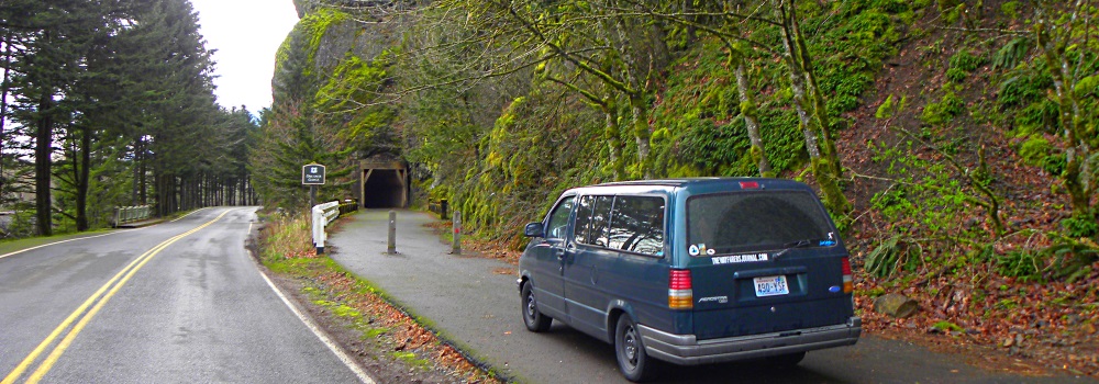
The Columbia River Highway Scenic Byway is quite amazing, which in part is due to its incredible scenery and rich history, but also because of its the visionary engineering. Further, the route traverses an area of spectacular waterfalls, beautiful old architectural structures, and magnificent overlooks of the Columbia River Gorge; all of which have long given this highway the title of the King of Roads.
The Historic Columbia River Scenic Byway offers ever-shifting perspectives of the Gorge, including sweeping panoramas from 900 feet above the river. Hikers will delight in the many trails along the Byway, some of which lead to hidden waterfalls. The Columbia river gorge itself is about 80 miles long and drops from the Columbia plateau as much as 4,000 feet in several areas.
Construction
This highway was constructed in 1913 and at the time was considered one of the greatest engineering feats of the modern age. Its engineer, Samuel C. Lancaster, said that he did not want to mar what God had put here, and thereafter worked diligently to showcase the many waterfalls and beautiful spots along the route of the highway through the Columbia Gorge and created numerous historic landmarks along the route. Too, the Columbia River Highway is the first scenic highway in the U.S. to be named a National Historic Landmark.
Columbia River Gorge Geology
The Geology of the gorge canyon includes the substrate of lava flows which were subsequently cut through by what geologist call the Missoula Floods, and which massive water flows would have create the towering cliffs of columnar basalt that make up the Gorge.
The Columbia river is the only sea-level cut through the Cascade Mountain Range that drains wide areas east of these mountain.
The River
The
Columbia River, after flowing westward across the
Columbia Plateau, reaches it′s confluence with the Deschutes river, after which it flows for about fifteen mile before it comes to The Dalles, Oregon. From The Dalles, the Columbia river flows another eleven miles, first north and then northwest until the river enters the Columbia River Gorge. The Columbia river continues downstream into the gorge canyon and westward for about eighty miles until it reaches the western end of the gorge which is located not very far east of the metropolitan areas of Portland.
The Water Gap
This water gap furnishes the only navigable route through the
Oregon High Cascades and the only water connection between the Columbia River Plateau and the Pacific Ocean.
Thus, several paths were created through this unique water gap, including paths on both side of the river. In Washington, the highway is Washington State Route 14, which runs along the railroad on the Washington side of the gorge, now run by Amtrak.
On the Oregon side, currently, there are U.S. Route 30, Interstate 84, the Mount Hood scenic railroad, and the historic Columbia River Highway.
This water gap is also the route traveled by the Lewis and Clark Expedition in 1805-1806. From about 1811-1840 the Oregon Trail was laid down by traders and fur trappers. It could only be traveled by horseback or on foot. By the year 1836, the first of the migrant train of wagons was put together. It started in Independence, Missouri and traveled a cleared trail that reached to Fort Hall, Idaho. The Oregon Trail which started in Missouri and covered 2,000 miles before ending in Oregon City, was the most popular way to get to Oregon Country from about 1843 through the 1870s.
Over the years since Lewis and Clark, there has been many other rail line companies on both sides of the river.
And they all went through the Columbia River Gorge!
Traversing the Cascades Mountains
The Columbia River, the Klamath River in northern California, the Pit River in northern California, and the Fraser River in southern British Columbia are the only four rivers connecting the watersheds on the east side of the Cascade Range to the Pacific Ocean. Each river has created a gorge through the Cascades. The Columbia River marks much of the state line between Oregon and Washington, and the wide range of elevation and precipitation makes it′s gorge quite diverse and dynamic.
The Canyon
This Columbia river gorge is a canyon on the Columbia River in the Pacific Northwest of the United States. The canyon is as deep as 4,000 feet (1,200 m) and stretches for over 80 miles (130 km) as the river flows westward. The gorge is where this river has cut through the Cascade Mountain Range
Columbia River Gorge National Scenic Area
The area of the Columbia river known as The Gorge holds federally protected status as a National Scenic Area (NSA) and thus it is called the Columbia River Gorge National Scenic Area. The NSA is managed by the Columbia River Gorge Commission and the US Forest Service.
The Gorge is a popular recreational destination for bicycling, camping, fishing, hiking, kayaking, nature viewing, picnicking, rafting, scenic driving, swimming, tubing, and windsurfing.
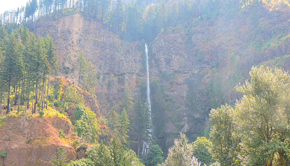
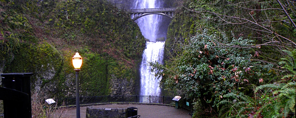
The Columbia River Gorge is also famous for not only its impressive landscape but also the plethora of about 77 waterfalls on the Oregon side alone. (See Below)
The Columbia Gorge is incredibly rich in cultural history. This stretch of the Columbia once served as fishing and meeting grounds for the many
Pacific Coastal Tribes of the Columbia Basin as well as the entire Columbia River Gorge Ecoregion.
The Dalles was a highly significant trading and rendezvous site throughout history and prehistory.
Lewis and Clark′s Corps of Discovery followed the river down through the gorge toward its terminus near Astoria in 1805. Later, most of the Oregon Trail Pioneers followed the river through the gorge in the mid 1800s. The rich history of this region is preserved in several museums along the gorge route.
The Bridge of the Gods
One of the most interesting stories is that of the Bridge of the Gods, or Bridge From God as named by Joktan, who with nearly his entire nation arrive at what is now the Columbia River at the outflow of the
Ta-Maschilamek Menuppek.
This massive lake, when it broke through the Cascade Mountains, cut the deep gorge now referred to as the Columbia River Gorge.
The Earth
Bridal Veil Falls (45.5549930, -122.1800710)
Dog Creek Falls, Washington (45.7101658, -121.6710755)
Dry Creek Falls (45.6571931, -121.8677645)
Eagle Creek Falls Trailhead (45.6367688, -121.9196219)
Elowah Falls (45.6127308, -121.9954005),
Fairy Falls (45.5704574, -122.1245278) above Wahkeena Falls,
Horsetail Falls (45.5899293, -122.0686817),
Latourell Falls (45.5369660, -122.2177973),
Mosier Creek Falls (45.6825626, -121.3902695),
Oneonta Falls (45.5861655, -122.0729501),
Ponytail Falls (45.5885903, -122.0684179),
Punchbowl Falls (45.6216833, -121.8945832),
Rodney Falls (45.6431192, -122.0147904),
Starvation Creek Falls (45.6874694, -121.6886258), Eagle Creek
Tunnel Falls (45.5848966, -121.8520769), Eagle Creek
Wahclella Falls (45.6181515, -121.9515087),
Wahkeena Falls (45.5743430, -122.1275816)
Columbia River Gorge National Scenic Area
Pathway Journeys:
Footpath Journeys
Roadpath Journeys
Historic Columbia River Highway, US 30
|