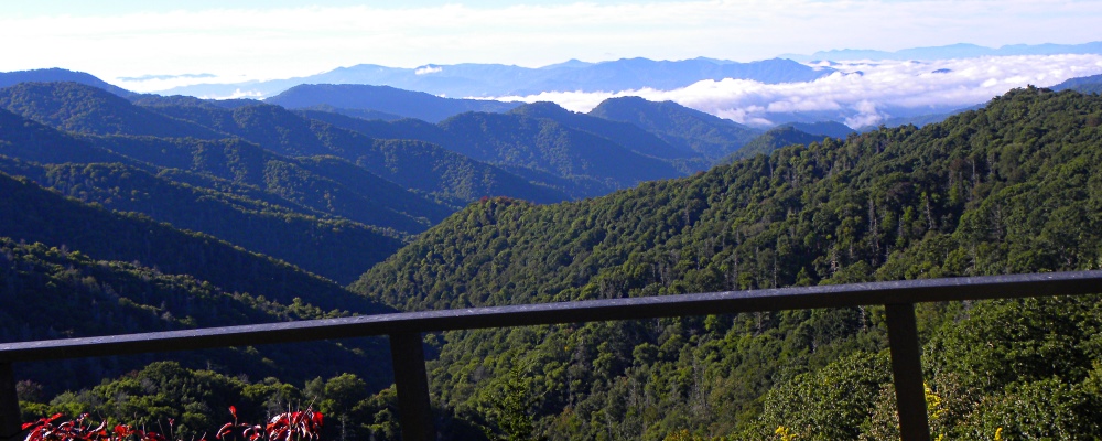
Clingmans Dome is a mountain in the Great Smoky Mountains of Tennessee and North Carolina in the southeast United States. Its native American name in Cherokke is Kuwahi or Kuwohi which means mulberry place. The Cherokee People have had strong connections to Kuwohi and the surrounding area, long before the land became a national park.
Further, the road that was once referred to as the Clingman′s Dome Skyway Drive (or just Skyway Drive) has also been renamed to Kuwohi Road.
The US Board of Geographic Names voted on Wednesday in favor of a request from the Eastern Band of Cherokee Indians to officially change the name Clingmans Dome to Kuwohi, according to a news release from the park. The Cherokee name for the mountain translates to “mulberry place.”
On 19 September 2024, the highest peak in Great Smoky Mountains National Park is officially reverting to its original Cherokee name. This name change happened some 165 years after the previous name change from Kuwohi.
The peak now known as Kuwohi (formerly Clingmans Dome) was referred to as Smoky Dome amd/or Old Smoky by early settlers before it was renamed in 1859 when a surveyor had named it for a Confederate War General, Thomas L. Clingman.
The balsam woolly adelgid (Adelges piceae) is an insect pest that infests and kills stands of Fraser fir (Abies fraseri) in the spruce-fir zone. The Fraser fir occurs naturally only in the southern Appalachians and previously was the dominant tree at the highest elevations.
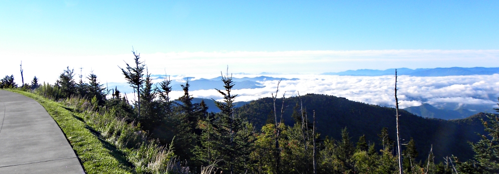
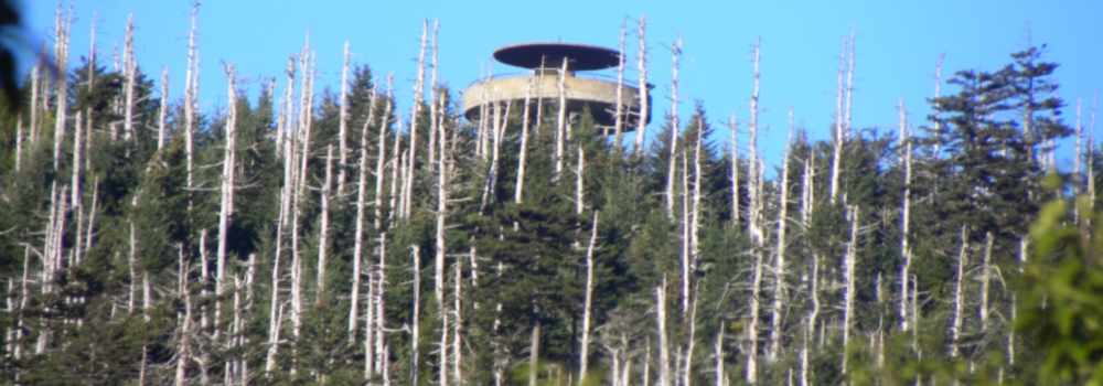
The adelgid was introduced on trees imported from Europe, and the fir has little natural defense against it. The insect injects the tree with toxins that blocks the path of nutrients through the tree causing these trees to literally starve to death. As can be seen, thousands of dead Fraser fir snags are all that are left on the highest mountain peaks.
Description:
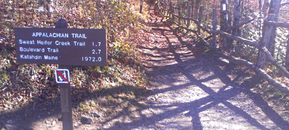
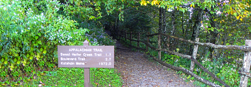
At 6,643 feet, Clingmans Dome is the highest point in the Great Smoky Mountains National Park, the highest peak on the Appalachian Trail, the highest point in Tennessee, and the third highest mountain east of the Mississippi. Only Mt. Mitchell (6,684 feet) and Mt. Craig (6,647), both located in Mt. Mitchell State Park in western North Carolina, rise higher.
Clingmans Dome consists of three peaks, two subpeaks, one on each side of the primary peak, which is Clingmans Dome. The western sub-peak is Mount Buckley at elevation 6560 feet and the eastern sub-peak is Mount Love at elevation 6400 feet.
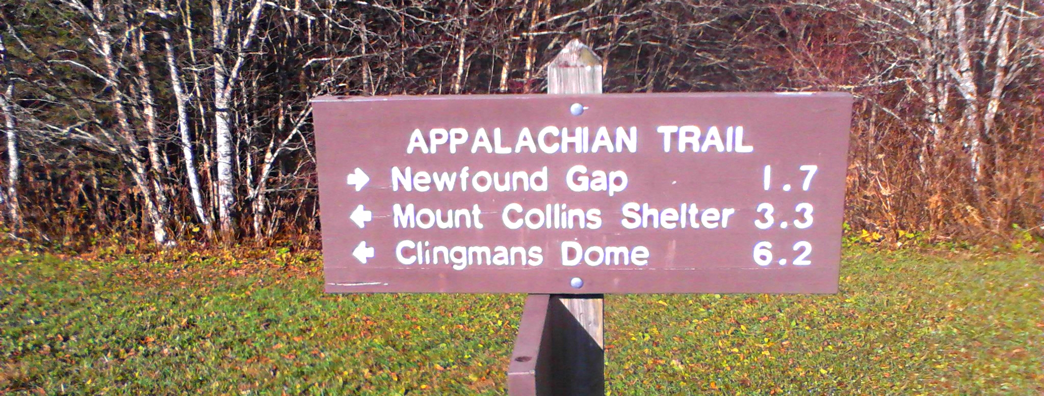
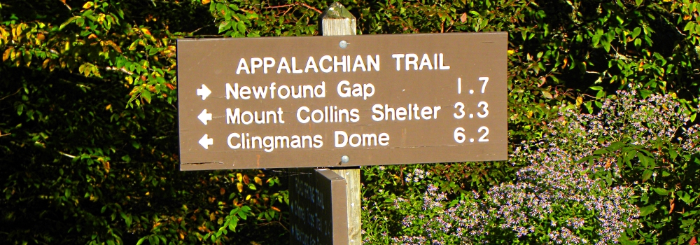
US highway 441 crosses the Smoky Mountains from Gatlinburg, Tennessee to Cherokee, North Carolina. At the point where it crests the Appalachian Mountains is Newfound Gap, a mountain pass with an elevation of 5048 feet, and in the pass has been built the Rockefeller Memorial, the site where the former US president, Franklin D. Roosevelt formally dedicated the Smoky Mountains National Park on 02 September 1940.
Location:
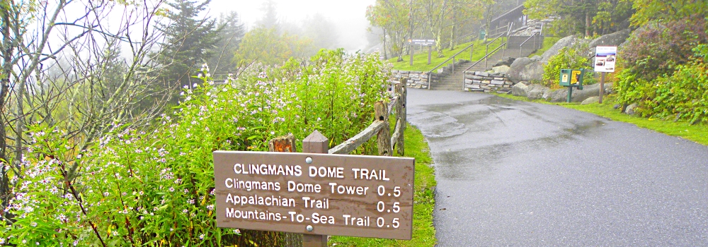
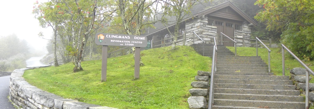
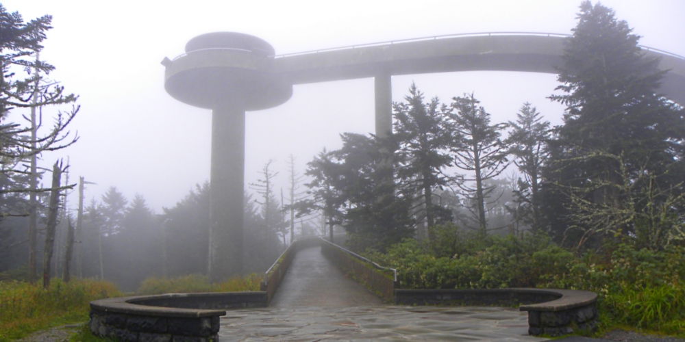
A seven mile road leads from US 441 in Newfound Gap to a parking lot that is a half mile climb to the summit. For visitors willing to climb the steep half-mile walk to the summit of Clingmans Dome, there is a 45 foot observation tower, built in 1959, that offers spectacular 360° views of the Smokies and beyond. Although Clingmans Dome Observation Tower is open year-round, the road leading to the parking lot is closed from December 1 through March 31, and whenever else the weather conditions require.
Coordinates:
35.562872, -83.498496
Elevation:
6,643 feet
Prominence:
4,503 feet
Geographical Region:
Appalachian Mountains
Range:
Clingmans Dome is part of the
Smoky Mountains Mountains
Best Route to top:
Clingmans Dome Roadway
Age:
560 million year old

(m2cont-nam-maps-nc) Blue Ridge Mountains Ecoregions: North Carolina