The Wayƒarers Journal ©

The Journal

The Wayƒarers

The Selƒ

The Journey

The Burden

The Mountain

   The Ancients
   The Earth

     Geochronology
     Continents

       Africa
       Antarctica
       Asia
       Europe
       North America

         Geographical
         Geological

     Arches
     Canyons
     Caves
     Deserts
     Forests
     Mountains

       Alaska
       Appalachian
       Beaverhead
       Brooks
       Chisos
       Guadalupe
       Interior Highlands
       Pacific Coast
       Rocky
       Wichita

     Volcanoes
     Waterways
     Wonders

   The Life
   The Modern Man
   The Nonpareils
   The Steps
   The Way

The Appendix

The Wayƒarer
The Mountain
Go to bottom of this page
THE APPALACHIAN MOUNTAINS
Blue Ridge Mountains

The Blue Ridge Mountians Go Down Go Back
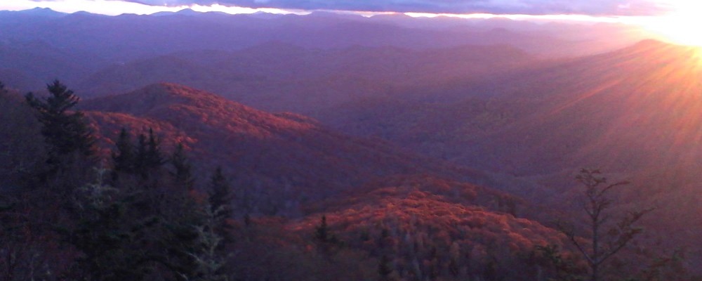
The Blue Ridge Mountains are a physiographic province of the larger Appalachian Mountains range. This province consists of northern and southern regions, divided near the Roanoke River gap. The mountain range is located in the eastern United States, starting at its southernmost portion in Georgia, then ending northward in Pennsylvania.
To the west of the Blue Ridge, lies the Great Appalachian Valley, bordered on the west by the Ridge and Valley province of the Appalachian range. To the east and below the Blue Ridge is first the Piedmont and then the coastal plains.
National Park, National Forests and Parkways
Within the Blue Ridge province are two major national parks – the Great Smoky Mountains National Park in the southern section and the Shenandoah National Park in the northern section, which includes the Shenandoah Skyline Drive, a 105.5 mile parkway.
Also, there are eight national forests including George Washington and Jefferson National Forests, Monongahela National Forest, Daniel Boone National Forest, Cherokee National Forest, Pisgah National Forest, Nantahala National Forest and Chattahoochee National Forest.
The Blue Ridge also contains the Blue Ridge Parkway, a 469-mile (755 km) long scenic highway that connects the two parks and is located along the ridge crest-lines near to the Appalachian National Scenic Trail, a 2181 mile trail, the longest continuously marked footpath in the world. In those nearly 2200 miles, with about 262 shelters, it would take 5,000,0000 steps to complete the crossing of 14 states, and one would walk past about 165,000 white blazes in an average of 165 days that it takes to walk the trail using about 4 or 5 pairs of shoes.

The 2013 Journey, Blue Ridge Mountains Go Down Go Up
Appalachian Mountains
Blue Ridge Mountains
(m2mo-app.blue.20141029.1837) The Blue Ridge Mountains

The 2013 Journey, Looking Glass Rock Go Down Go Up
Appalachian Mountains
The Blue Ridge Mountains

1  
In list of Mountains the letter designation is the mountain range where the mountain is located: BM Black Mountains (NC), GBM Great Balsam Mountains (NC); GCM Great Craggy Mountains (NC); GSM Great Smoky Mountains (NC-TN), PB Plott Balsams (NC); UM Unaka Mountains (NC-TN).

To go back to Appalachian Mtns Index, click on down arrow. Go Back Go to previous section
on this page

Thank you for visiting The Wayƒarers Journal.

See Ya above the Treeline!

This Page Last Updated: 30 April 2026


To continue to the next Episode Level page, Click here go to top
 
The Wayƒarers Journal © ::: Come Join the Journey ™
by Thom Buras
Come Join the Journey ™