|

|
|
|

|

|
|
The Basin and Range Region: Nevada
|
|
|
The
Northern Basin Ecoregion


|
|
|
FFF Ecoregion Information:
Description:
The Northern Basin and Range ecoregion is found in the states of: California, Idaho, Oregon, Nevada, and Utah. This ecoregion, located in the northern part of the Great Basin, contains dissected lava plains, rolling hills, alluvial fans, valleys, and scattered mountain ranges.
Although arid, this ecoregion is higher and cooler than the Snake River Basin (2h) ecoregion just to the north and has more available moisture and a cooler climate than the Central Basin (2J) ecoregion just to the south.
The Central Basin (2j) ecoregion, as its southernmost boundary is determined by the highest shoreline of Pleistocene Lake Bonneville, which once inundated that entire Central Basin.
The western part of the region, including areas in California, Oregon and Nevada is internally drained, primarily by evaporation. The eastern region, including areas in Idaho and Utah is drained to and by the Snake River system.
Flora:
The basin valleys have sagebrush steppe or saltbrush vegetation, but also has temperate grassland soils with a dark, humus-rich surface layer containing high concentrations of calcium and magnesium, which soil is good for cool season grasses. Overall, the ecoregion is drier and not suitable for agriculture however, rangeland is common and both dry land and irrigated agriculture occur in eastern basins.
Ranges are generally covered in mountain sagebrush, mountain brush, and Idaho fescue at lower and mid-elevations. Trees, including Douglas-fir and aspen are common at higher elevations.
Geology:
The Northern Basin and Range ecoregion contains arid tablelands, intermontane basins, dissected lava plains, and scattered mountains.
Walker Lane Geologic Trough
Pathway Journeys:
Footpath Journeys
Roadpath Journeys
|
| |
|
The 2021 Journey,
Northern Basin Ecoregion
|
|
|
(Day 995 TG) 39°F. 6:50 am, sunny
By nine this morning, I have done eating and have put away my kitchen but stay for a while longer to continue pounding keys. Then, at eleven this morning, after having packed out, I drive out of Goose Lake state park. Upon reaching US 395, I turn north, and drive back through Lakeview, Oregon, stop to fill up my fuel tank and then another five miles north to SH 140 where I turn right and drive east through the Oregon
Warner Canyon, which has the Camas Creek and Deep Creek flowing through it.
Later, I cross the top of the butte which is nearly 6300 feet in elevation and soon arrive at the Nevada state line. In Nevada, the highway retains the same number so I continue on SH 140 which is also called the Highway to Denio. Upon crossing into Nevada, I also enter the Sheldon National Antelope Refuge, which I actully expected to see antelope but did not even see one.
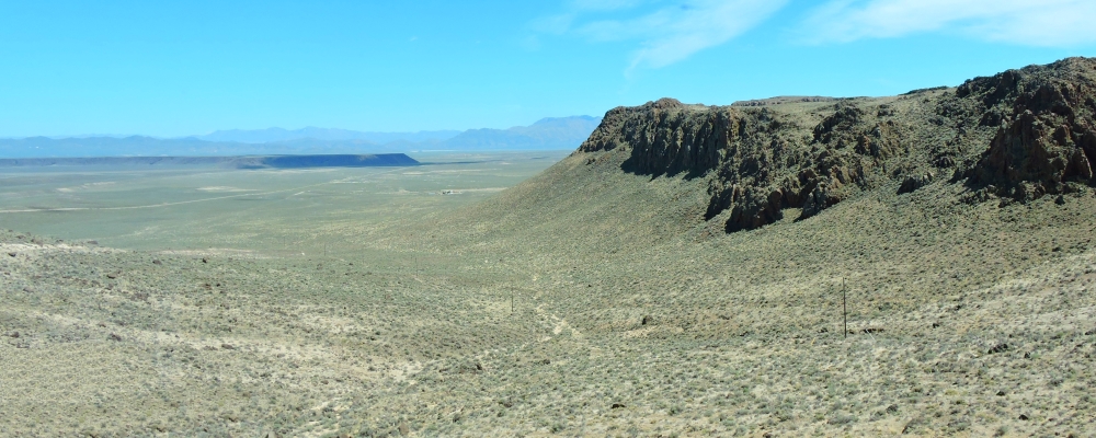
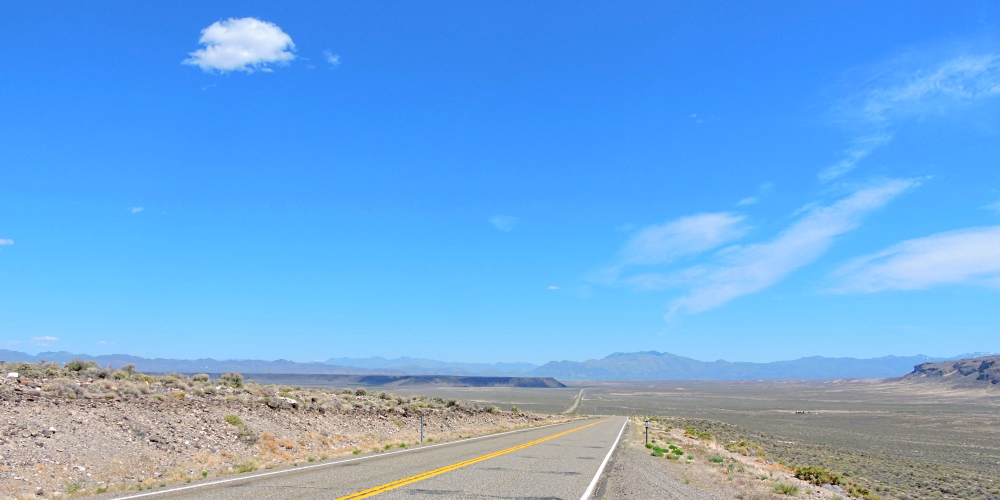
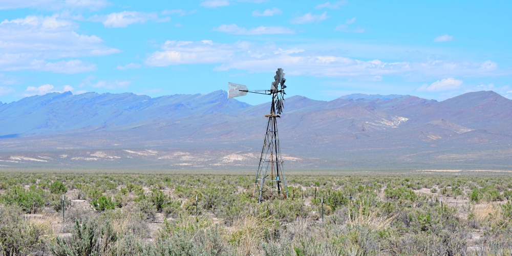
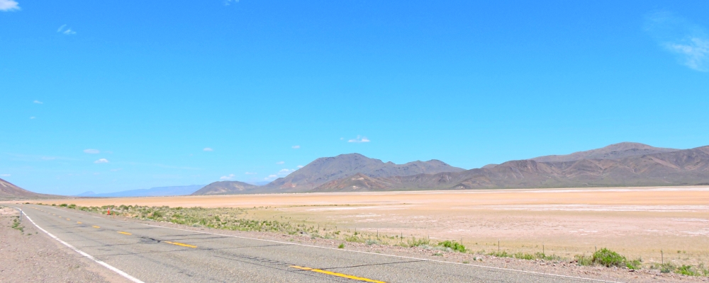
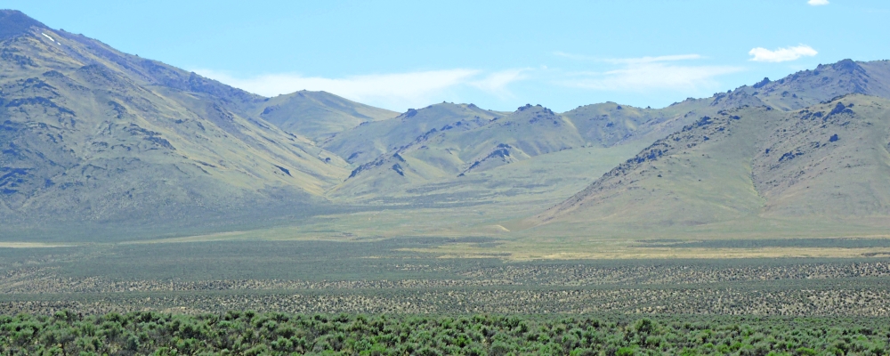
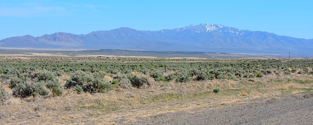
This drive of over one hundred mile is across
Black Rock Desert is some of the driest desert that I has seen so far on this journey and finally, I arrive at US 95 where I turn right and drive another thirty miles before I arrive in Wennemucca, Nevada.
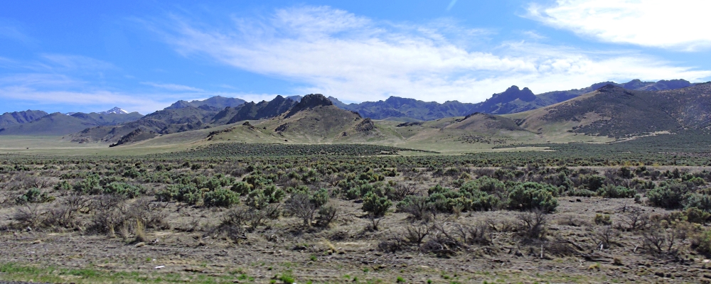
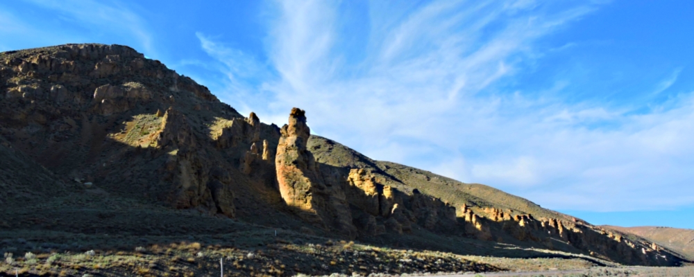
I keep going south until I come to IH 80, enter the east bound traffic and drive another one hundred and twenty-five miles along the Humboldt river through more very dry desert and around or besides many mountain ranges, too many ranges to give names to them all.
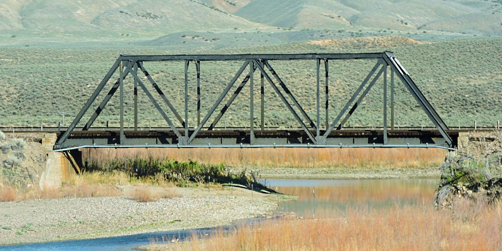
Finally, after about five hours of driving, I arrive in Elko, Nevada, locate the w-mart and connect to the internet to begin uploading the photos and files that I have been working on for several days. Afterwards, I drive to the opposite side of the interstate and park in a dark parking lot in a shopping center.
|
| |
|
The 2021 Journey,
Northern Basin Ecoregion
|
|
|
(Day 997 TG) 48°F. 6:30 am, sunny
Overnighting in a parking lot
After two days rest in Elko, and having WiFi access to the internet to connect to the midweek meetings, I leave out on Friday morning, take IH 80 east to cross the rest of Nevada.
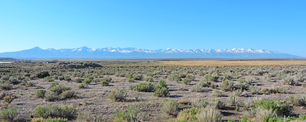
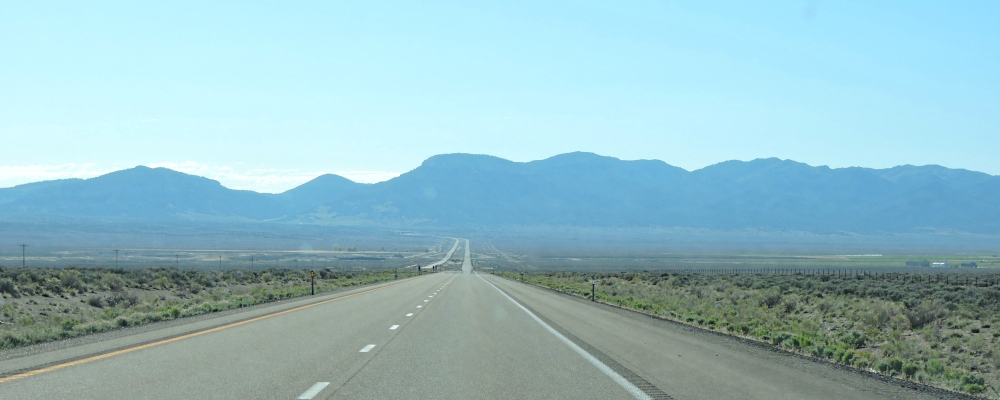
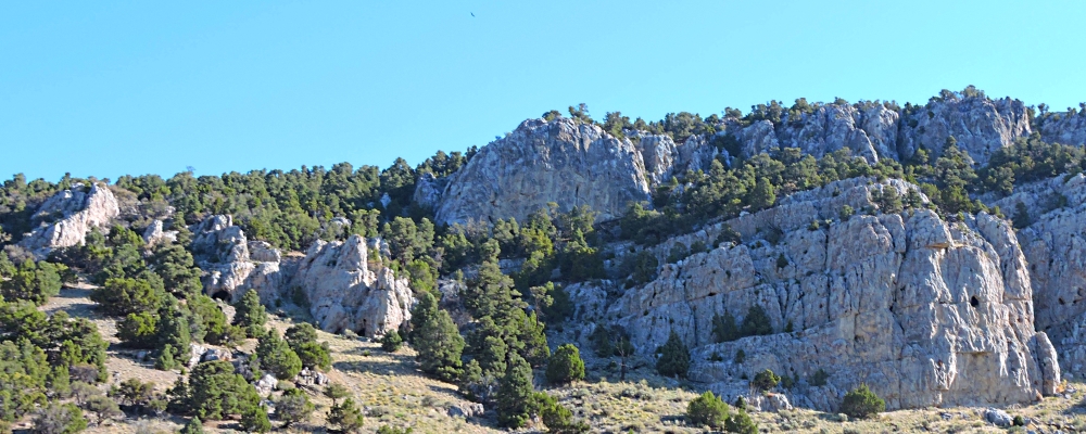
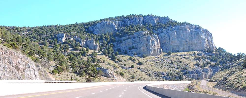
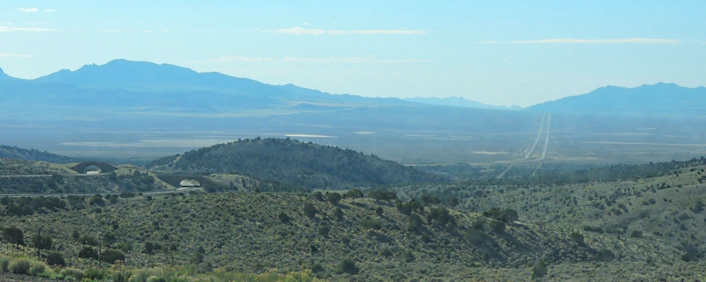
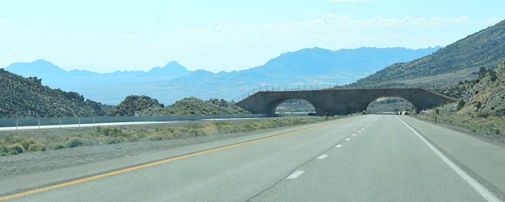
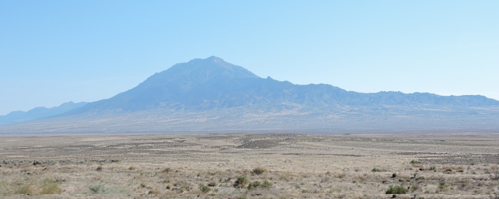
(m2cont-nam-geol-de-nv-great-2021-0514.0955) Great Basin Desert, Pilot Butte, 10,716 feet
Crossing the Great Basin: Part Three, Utah
Soon after passing Pilot Butte, I enter Utah and there will continue east in the Great Basin Desert on my way for my next stop in Rock Springs, Wyoming.
|
| |
| |
|
To go back to the Gallery Index, click on down arrow.
|
|
|
Thank you for visiting
The Wayƒarers Journal.
| |
See Ya above the Treeline!
| |
This Page Last Updated: 31 October 2026
|
|
|
|
To continue to the next Episode Level page,
Click here

|
|
| |



