|
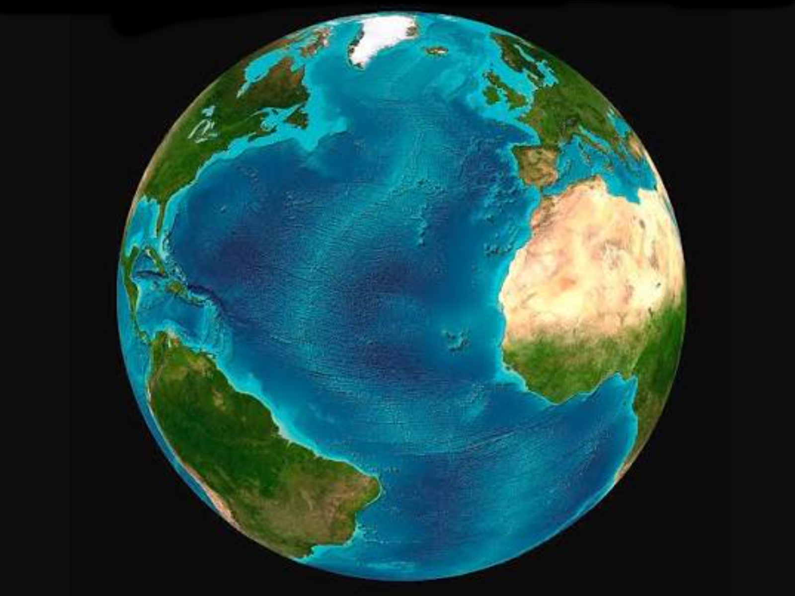
The Atlantic Ocean is the second largest ocean on Earth and covers approximately 17 percent of the surface of the Earth. When considering only the Earth′s water surface, the Atlantic occupies from 24 to 29 percent of all of the water surface area.

(m2ocean-atl-2026-atlanticocean) The Atlantic Ocean
Copyright by Rand McNally & Co. / revisions and upgrades © by The Wayfarers Journal
Atlantic Information:
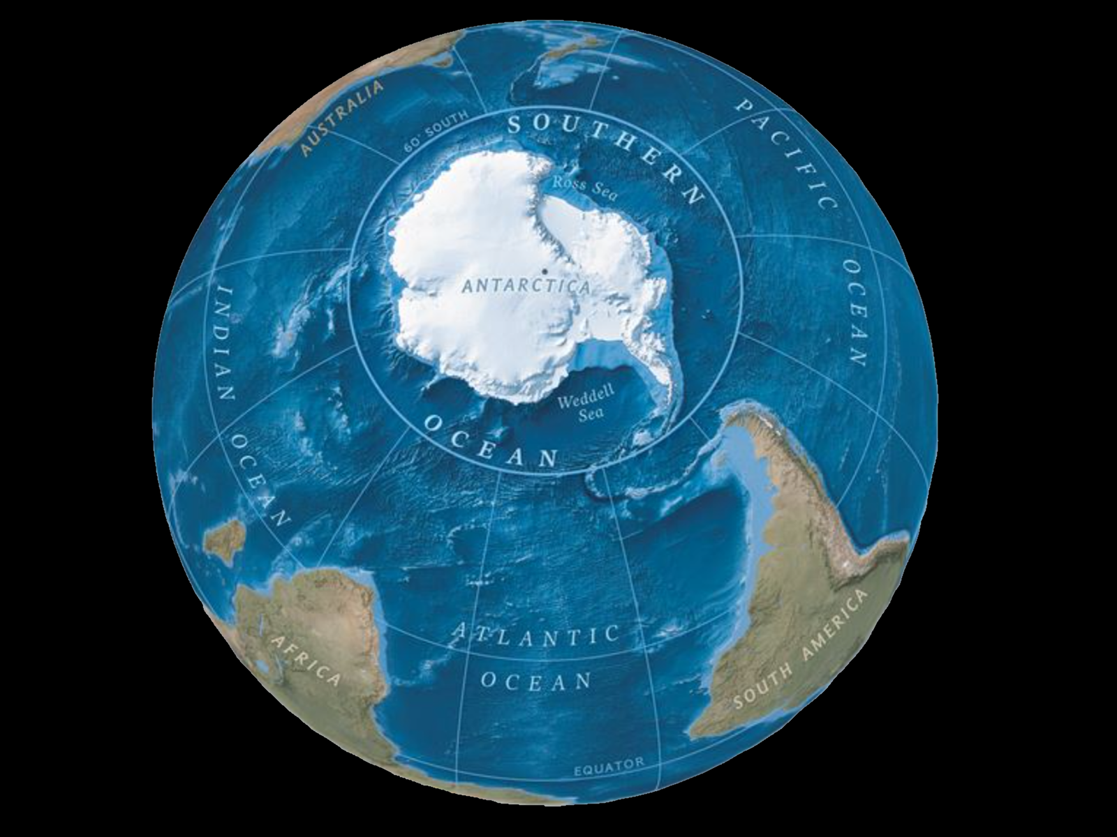
As for the size of the Atlantic Ocean, it has a surface area of 32,870,000 square miles; a volume of 74,471,500 cubic miles. The surface area, according to the wise men of the world, spans from 60°s south latitude northward (below 60°S latitude is the Antarctic Ocean), traverses between the Americas on the western side and the combined continents of Africa and Europe on the eastern side; and then to above the Arctic Ocean, which varies from 60° north to 70° North latitude.
When viewing from above the Earth, the Atlantic Ocean occupies an elongated, S-shaped basin traversing longitudinally between Europe and Africa to the east, and the Americas to the west. As one component of the interconnected World Ocean, it is connected in the north to the Arctic Ocean, to the Pacific Ocean in the southwest, the Indian Ocean in the southeast, and the Southern Ocean in the south at 60° south latitude.
However, some available definitions describe the Atlantic Ocean as extending southward to the continent of Antarctica, as well as further northward into the Arctic Ocean.
Description:
Location:
Coordinates:
0.000, -25.000
Size:
Surface Area
32,870,000 square miles (85,133,000 square km)
Volume
74,471,500 cubic miles (310,410,900 cubic km)
Depth:
Average:
11,962 feet (3,646 meters)
Greatest Depth:
27,480 feet (8,376 meters)
Location:
19.9737047, -66.0369110
Name:
Milwaukee Deep, in the Puerto Rico Trench
Shore Length:
Distance:
69,510 miles (111,866 kilometers)
distance includes marginal seas
1
Bathymetry:
The bathymetry of the Atlantic is dominated by a submarine mountain range called the Mid-Atlantic Ridge. It runs from 87°N (or 190 miles [300 km] south of the North Pole) to the subantarctic Bouvet Island at 54°S.
As of the year 2001, expeditions to explore the bathymetry of the Atlantic include: the Challenger expedition and the German Meteor expedition. Also, Columbia University′s Lamont–Doherty Earth Observatory and the United States Navy Hydrographic Office have conduct research on the ocean.
Climate:
Tropical cyclones (hurricanes) develop off the coast of Africa near Cape Verde and move westward into the Caribbean Sea. Hurricanes can occur from May to December but are most frequent during the months between August and November
Economy
The Atlantic Ocean provides some of the most heavily trafficked sea routes on Earth, between and within the Eastern and Western Hemispheres. Other economic activity includes the exploitation of natural resources which include (but not limited to): fishing, dredging of aragonite sands (The Bahamas), and production of crude oil and natural gas (Caribbean Sea, Gulf of Mexico, and North Sea).
Geography:
The Atlantic Ocean is divided by the Equator into two geographical parts: the North Atlantic and The South Atlantic.
|