|
Onsite:
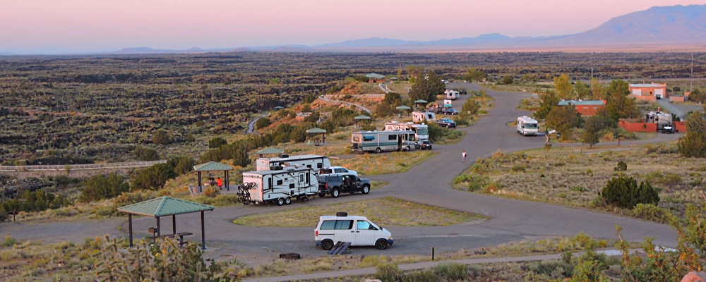
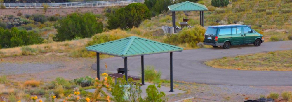
Camping, hiking, interpretive programs, picnicking, visitor center, wildlife viewing,
The Nature Trail
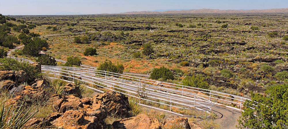
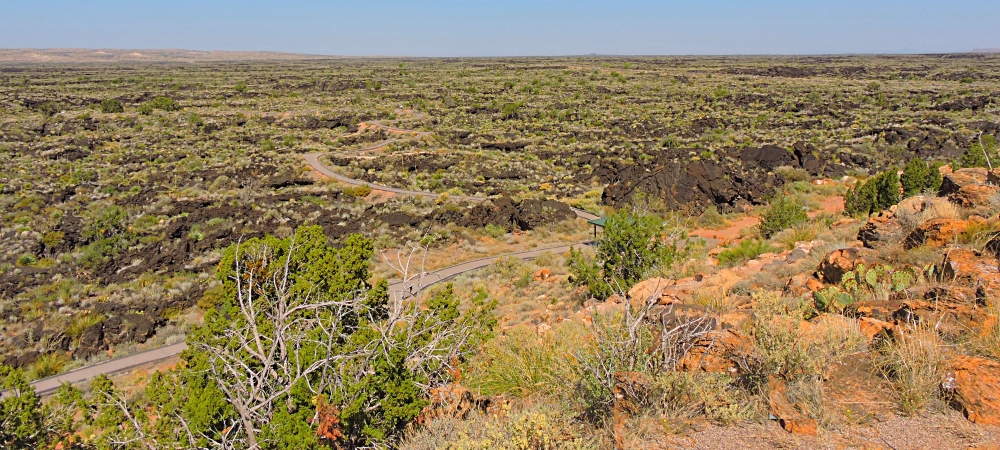
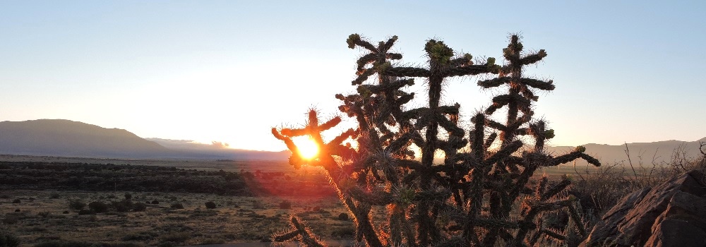
The recreation area has a nature trail into the lava flow with interpretive displays and a guide brochure. The nature trail has many varieties of flowers, cactus, trees, and bushes typical to the Chihuahuan desert. The animals in the area include: barberry sheep, bats, cottontails, lizards, and mule deer. There are many birds including: burrowing owls, cactus wrens, gnat catchers, golden eagles, great horned owls, hawks, quail, roadrunners, sparrows, and turkey vultures.
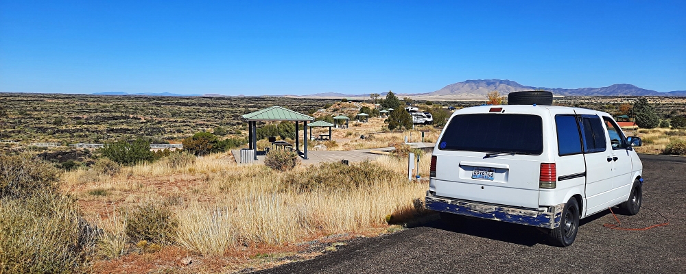
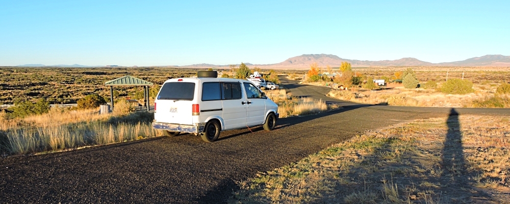
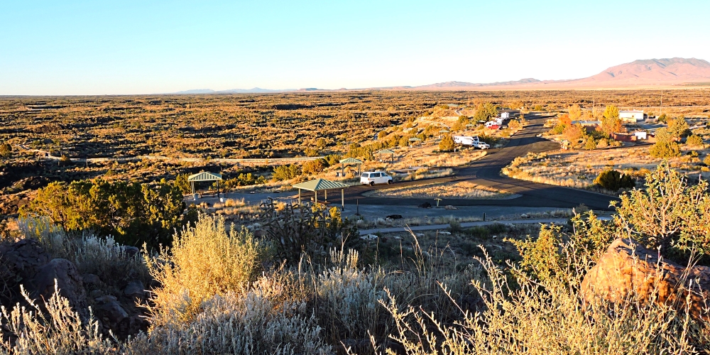
Here at the Valley of Fires recreation area, a visitor may explore the lava flow and discover what lave feels like, see wildlife hiding in the crevices, listen for birds and insects, find information telling about pressure ridges, lava caves and giant collapsed bubbles.
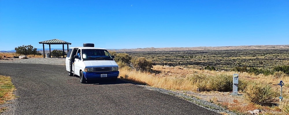
Valley of Fires recreation area is located immediately adjacent to the Malpais Lava Flow, which lava flow is four to six miles wide, 160 feet thick and covers 125 square miles. The lava flow is considered to be one of the youngest lava flows in the continental United States.
This large lava flow is just four miles west of Carrizozo, New Mexico, on the northern part of the Tularosa Basin between
Sierra Blanca Peak to the southeast and the
Oscura Mountains to the west. The lava making up the flow came from
Little Black Peak, located about ten miles north-northwest of Carrizozo. Little Black Peat erupted and flowed 44 miles into the Tularosa Basin, filling the basin with molten rock.
The lava flow traveled south-southwest along the bottom of Tularosa Basin in two active flows. Initial age estimates ranged from 1,000 to 1,500 years ago, but recent cosmogenic dating techniques revealed the eruption date is 5200 ± 700 years ago. At their southern end, the lava flows are about 12 miles north of the dune fields of White Sands National Monument.
Nearby:
Carrizozo, the railroad town
Just four miles east of the recreational area, Carrizozo, New Mexico, in 1909 became the county seat and was a bustling railroad town. The land surrounding the town was open to homesteading and many of the early railroad families filed a claim on the open range in hopes of owning 640 acres,
The town grew fast and peaked between 1910 and 1920. The railroad supported the town into the 1940′s but with much modernization of railroad machinery and methods, couped with the new diesel engines, the need for the railroad workforce in Carrizozo. Today, the town is the seat of Lincoln County and home to many artists and craftsmen.
Trinity Site
Just after the attack on Pearl Harbor by the Japanese in 1942, the US government launched a program, called the Manhattan Project to design the first atomic bomb. Intended to end the war, the bomb was ready for testing just three years later. On July 16, 1945, a plutonium bomb in a test known as Trinity was exploded just south of here and flashed so brightly that it was seen from Texas to Arizona.
Within milliseconds of that test explosion, an orange-red fireball swept over the desert and up into the sky. The gray and purple mushroom cloud towered thirty-eight thousand feet into the atmosphere. Windows up to one hundred and twenty miles away were broken by the shock wave.
Later that same year, on August 6th and 9th, atomic bombs were dropped on Hiroshima and Nagasaki, Japan. Just five days later, on August 14, Japan surrendered and that war was over. Following the Trinity test, the US government defense industry continued in this area of the Tularosa Basin and today, the military still operates and tests at the White Sands Missile Range.
Tularosa Basin
This valley has seen an amazing diversity of human history, from native American settlement, Spanish farmlands, mining camps, stagecoach stations and the world′s first atomic bomb test. During the late 1800′s, busy towns grew from the dusty tent camps of the early miners. With a constant growth came the need to move more and more people and mail between these Rio Grande settlements. At the time, horse drawn stage lines were the only means of regular commercial transportation.
The Ozanne & Company stage line, which operated in the area for eight years, served the New Mexico towns of Carthage, White Oaks, Nogal, Fort Stanton and Lincoln. It was not until 1889 with the arrival of the railroads that the days of the stage lines came to a close.
The valley was once filled with cattle ranches where livestock followed the rain for grass and water. Apache Indians and Spanish settlers also lived in the area but the upper end to the valley had few settlement until the railroad arrived in 1889. Although much of the valley remains sparsely populated today as in past times, highways have brought development in the Sacramento Mountains and the railroad boom towns and mining camps have been replaced with skiing, fishing and camping.
Three Rivers petroglyph site is one of the area that provides camping in an area where an ancient settlement existed and it′s inhabitants etched their message to any would come here to see their ruins.
White Oaks, a gold rush town
In 1879, there was a gold strike at Baxter Gulch which resulted in the White Oak gold rush and the establishment of a post office within one year. The town was named for the nearby grove of white oak trees, and the town became a thriving community with several thousand residents. At first there was mining tents and shacks but soon, saloons, blacksmith shops and general stores began to spring up. Even lawyers, dentists and doctors took up a practice in White Oaks.
However, like most other western gold mining towns, White Oaks′ prosperity was short lived and within twenty years, the mines had run out of the gold bearing ore. Too, the railroad had bypassed White Oaks, going to Carrizozo an on to the coal fields of Capitan. By 1907, the population had dwindled from thousands to four hundred residents, with even less remaining today.
White Sands National Monument
Rising from the heart of the Tularosa Basin is one of this continent′s great natural wonderers, the glistening white sands of New Mexico. Great wave line dunes of gypsum sand have engulfed nearly 300 square miles of desert to create the largest gypsum dune field in the world. The national monument preserves a major portion fo this dune field, as well as the plants and animals that have successfully adapted to this harsh environment.
|