|
The Chaco Canyon civilization was at its height by 1000 CE, which coincided with several spectacular astronomical events that would have been visible from this canyon.
Two of these events were supernovas which occurred in 1006 CE and 1054 CE, which both of were visible during the day time.
Additionally, the well documented 1066 CE appearance of Halley′s Comet was more than likely seen by the indigenous people here at this dwelling location. Also, just a few years later was another major celestial event, the total solar eclipse that passed directly over this region on 11 July 1097.
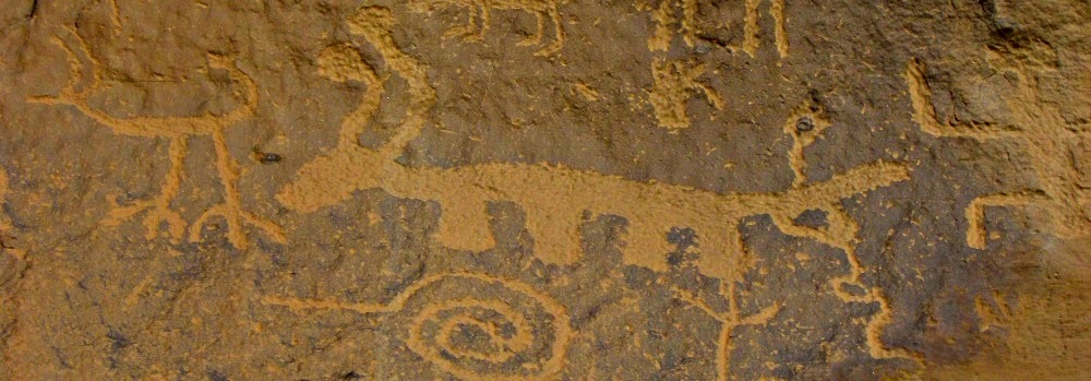
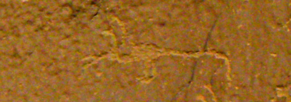
Was this people interested in celestial events? Absolutely, because the Chaco Canyon petroglyph and the Pictograph rockart are well portrayed with depictions and impressions of these celestial events. Even today, the Chaco Canyon National Historical Park is known as an International Dark Sky Park.
In fact, there is one pictograph that is called the Supernova Pictograph and this civilization built great houses and hosted large ceremonies, many of which involved astronomy because all of the celestial events were important to the Chacoan people and their rockart documented what they saw in the sky during that time.
Chaco Canyon Petroglyph Information:
Description:
The Petroglyph trail is about 1/4 mile and will take about half an hour to walk. However, if you desire to examine the petroglyph more than more and to take photos, the allow about an hour. There are some petroglyph that are at higher levels, so a pair of binoculars would be helpful for those.
Location:
On US 550 between Farmington and Cuba, New Mexico, there is a County road which turns southward toward a very isolated historical ruins, and although these county roads are not paved, but dirt roads, and the drive from Farmington is about one and a half hours, the visit to these ruins and their petroglyph are worth all the dust and travel.
From Farmington, New Mexico Drive south out of Farmington on US 550 to County Road 7900 and turn right. Drive south for about five miles to County Road 7950 and turn right. Drive on road 7950 for about 15 miles and arrive at the entrance sign. Continue on CR 7950 and arrive to the Gallo Campground road at 17 miles. Then, at 18 miles, turn right into the parking lot access road and you will find the visitors center.
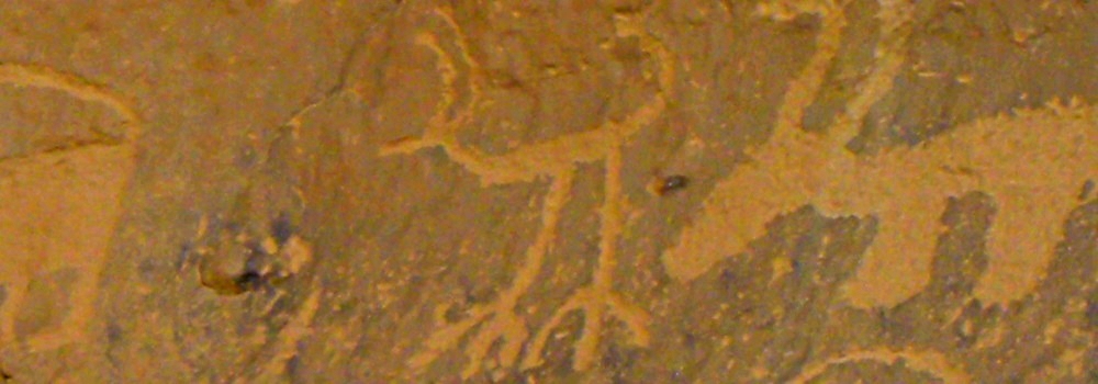
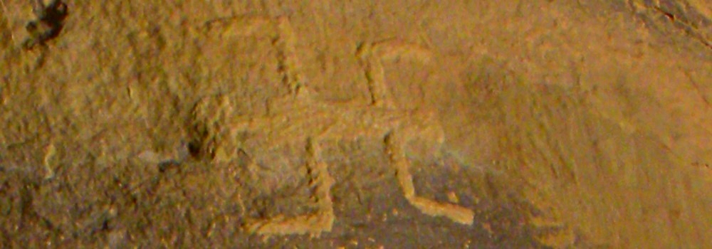
The gallery will examine just a few of the petroglyph found here at Chaco Canyon.
Coordinates:
36.030500, -107.910051
Elevation:
6195 feet
Geographical Region
Massive Building Project
From about 850 to 1250 CE, the Anasazi people undertook the construction of a settlement unrivaled anywhere else in the North American continent. The existing ruins stand in stark testimony to the organizational and engineering abilities unseen elsewhere.
Still, in the midst of all that building work, many of the people took time to develop their artwork, be it basket making, pottery or petroglyph.
Gallo Campground (36.032396, -107.895079)
|