|

|
|
|

|

|
|
Roadpath Journeys: Vermont
|
|
|
The National
Northern Tier Route


|
|
|
The National Northern Tier Route Information
Roadpath Route Requirements:
In the original determination for choosing the roadpath route, the requirements were simple: (1) The roadpath must be a hard surface road; (2) The roadpath must be contiguous across the entire route, (3) The roadpath must not be an Interstate Highway (or any highway which would exclude bicycles) and (4) The roadpath route, in describing the "Northern" and/or "Northernmost" Highways, has as a definition, those highways which remain within the United States nearest to the USA/CAN border without crossing into Canada.
National Northern Tier Route Information
National Roadpath Description:
The Northern Tier route is the northernmost transcontinental roadpath entirely within the United States, which roadpath consists of a series of contiguous highways traverses the extreme northernmost highways within the country.
This contiguous roadpath traverses a distance of 4,872 miles, with the western terminus end at the
Cape Flattery Trailhead in Neah Bay, Washington, a foot path to the northern most lighthouse in Washington and the eastern terminus end at the West Quoddy Head where a lighthouse of the same name is located and this point is the easternmost point in the United States.
National Roadpath Information:
Roadpath Type:
West-East transcontinental route
Roadpath Total Length:
4,872 miles, 7841 km
Roadpath Use:
automobiles, bicycles
Roadpath Year Built:
1926 and/or later
Roadpath Waymark:
current highway signs associated with each roadpath
Roadpath Terminus Point One:
Location West:
Cape Flattery Trailhead Parking Lot, Washington
Coordinates:
48.3849460, -124.7158605
Elevation:
349 feet
Roadpath Terminus Point Two:
Location East:
West Quoddy Head Lighthouse, Maine
Coordinates:
44.8150633, -66.9504890
Elevation:
63 feet
National Roadpath History:
This is a brand new National Scenic Byway, one which has its origin found within my personal desire to travel (as a recreational passage) across the top of the United States. In the fall of 2025, I left the west coast of Washington state headed eastbound on this roadpath with the desire to drive and document the route, recording the specific highways traveled, as well as locations for camping and/or overnighting. I was only able to drive to the state of Minnesota before the temperatures plummeted to near freeze at night, causing me to turn right and drive south to a warmer region (south Texas) for the winter.
Then, in the middle of February 2026, with the temperatures in south Texas soaring into the eighties, I departed my winter hiatus to begin my northbound Journey On™ through North America, traveling east by northeast through the
Interior Lowlands Region, then into the
Appalachian Mountains Region where I turned northeast into and through New England to the eastern terminus of this new National Scenic Byway, is the easternmost point in the lower 48 states, a coastal lighthouse know as
West Quoddy Head Lighthouse located not far from the town of Lubec, Maine, from whence I will begin the logistical eastbound drive of the North Tier Route.
National Roadpath Map:

(m0-maps-us-ntr-map) National Northern Tier Route Map
|
| |
|
The State
Northern Tier Route, Vermont
|
|
|
Northern Tier Route State Section
Description:
State Roadpath Information:
State Roadpath Type:
US and State Highways
State Roadpath Length:
121 miles
State Roadpath Terminuses
Roadpath Terminus Point One:
Location West:
US 2 over Lake Champlain at New York State Line
Coordinates:
44.9986084, -73.3483344
Elevation:
92 feet
Roadpath Terminus Point Two
Location East:
SH 114 at New Hampshire State Line
Near Cannan, Vermont
Coordinates:
44.9957272, -71.5349655
Elevation:
1,042 feet
State Roadpath Elevations:
Roadpath Highest Point
SH 105 at Long Trail crossing
Elevation:
2,124 feet
Coordinates:
44.98668254597222, -72.50408310685526
Roadpath Lowest Point:
US Hwy 2 over Lake Champlain
Elevation:
92 feet
Coordinates:
State Geographic Information:
State Roadpath Map:

(m0-maps-ntr-vt-map) Vermont Northern Tier Route Map
|
| |
|
The 2026 Journey,
Northern Tier Route, Vermont
|
|
Wednesday, 10 June 2026, Colebrook, New Hampshire.
(Day 850 TS) 50°F. 6:30 am, sunny
Journey On™, Day 116
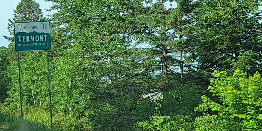
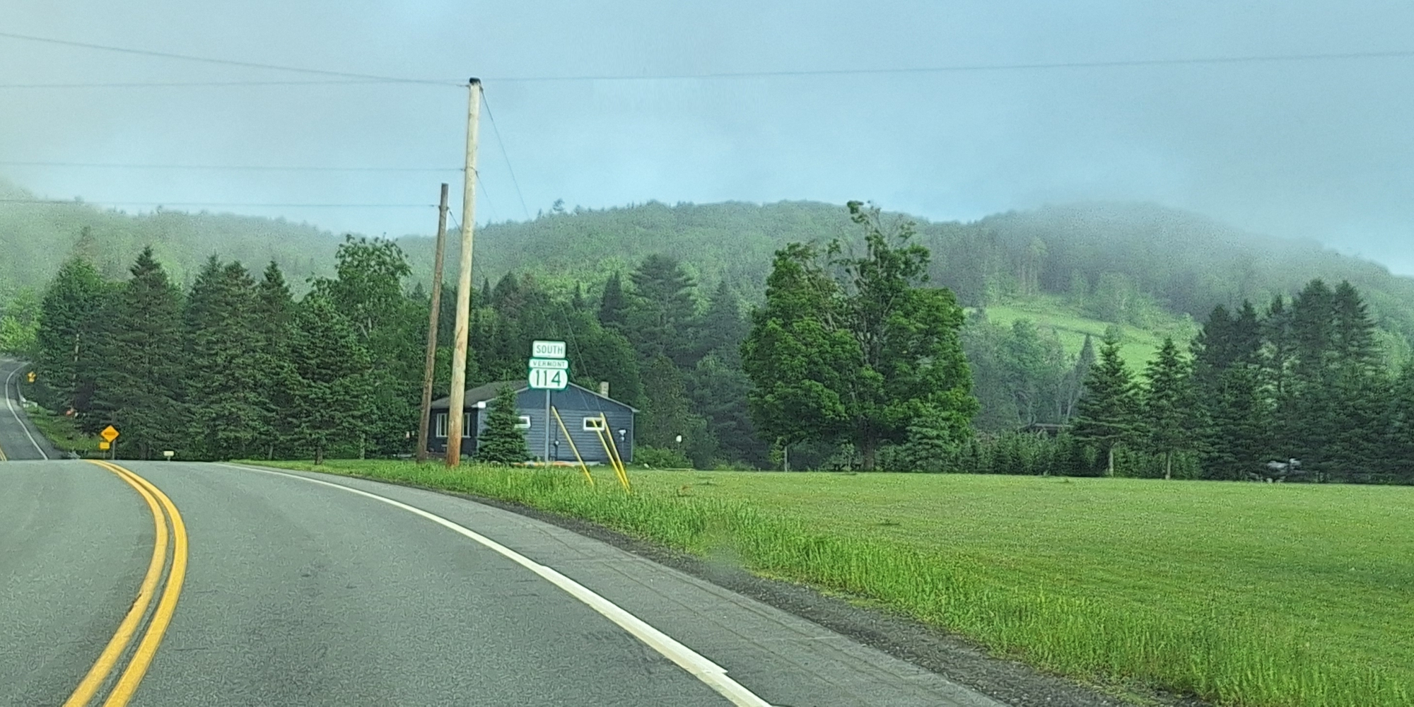
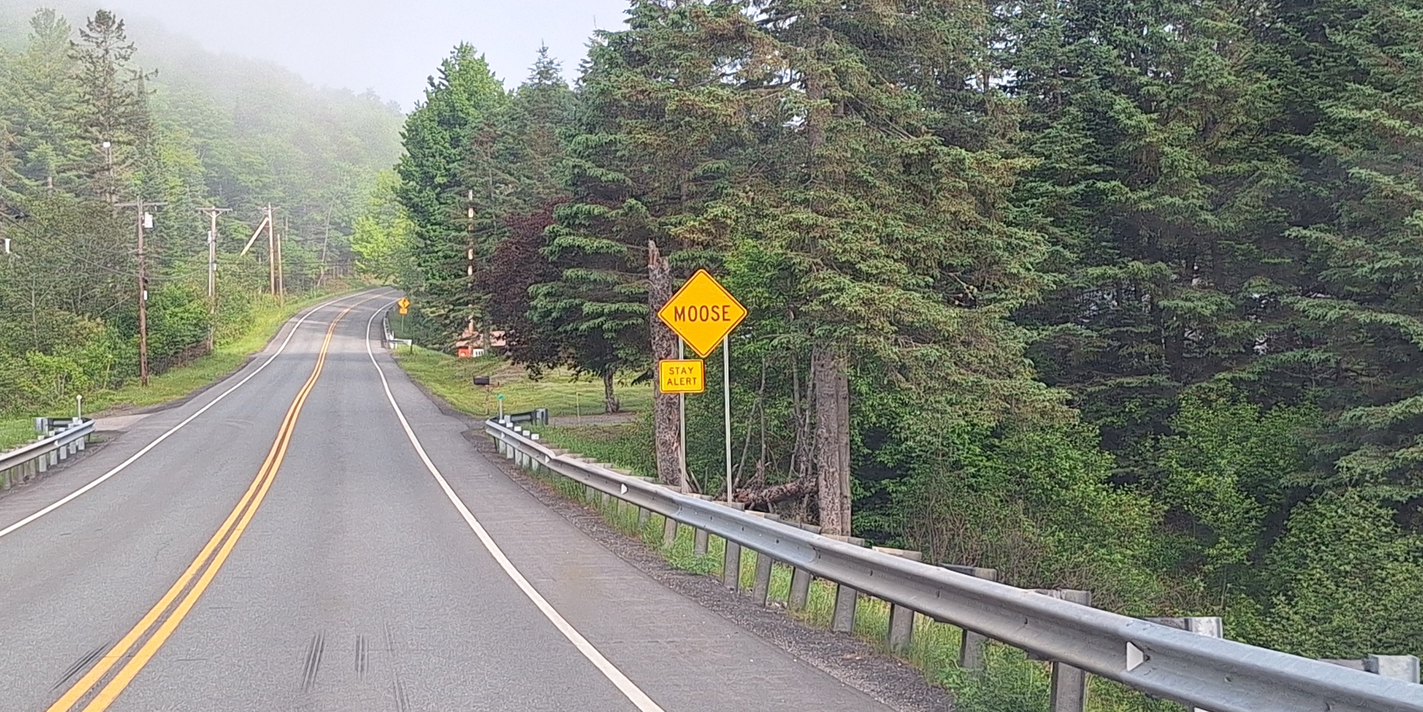
(m6fi-ntr-vt-2026-0610.0748) I was able to see one moose in Maine but none in VT.
After overnighting in a rest stop just north of Colebrook, New Hampshire, I drive the short distance north to the next bridge over the Connecticut River, entering the state at Canaan, Vermont. Once I am traveling west in Vermont, I find myself driving on State Highway 114 (SH 114) I had not gotten far into the state when a county sheriff pulls me over to tell me that my left brake light is not operating. He takes my drivers license and other papers to his vehicle and it seems like a really long time, during which I am calling on God to please direct the sheriff to only give me a warning. (I know, I am not supposed to treat the Most High God like a butler, so I apologize to Him if I am doing anything wrong and ask Him to please help me to keep my speed under the limit at all times and then I continue my prayers to Him while I await the sheriff to return.)
Finally, he walks up to my car and says, "I am only giving you a warning this time, please get the light fixed right away." He goes on to say that you can fix it in Island Pond, which is just a short distance south. I answer, "I will drive there right now, buy a bulb and replace it right away." All the while, I am constantly praising Jehovah, thanking Him for his Kindness, and thinking how in the past, He has always come to my help every time that I have called upon Him in humility and respect.
So, I drive to Island Pond, Vermont, purchase a bulb, then remove the tail light and replace the defective bulb with a new one. Because I can not see if the light works when I step on the brake peddle, I ask another person to tell me if it is working when I step on the brakes. When I come back to the rear of the jammer, He stays, "You are good to go!" I then get back into the drivers seat and drive back north on SH 114 and then turn left on SH 111, driving through the thick woods until I arrive at at coffee house where I can go inside, plug in my computer and pound the keyboard for as long as I must needs to catch up on my journal writing.
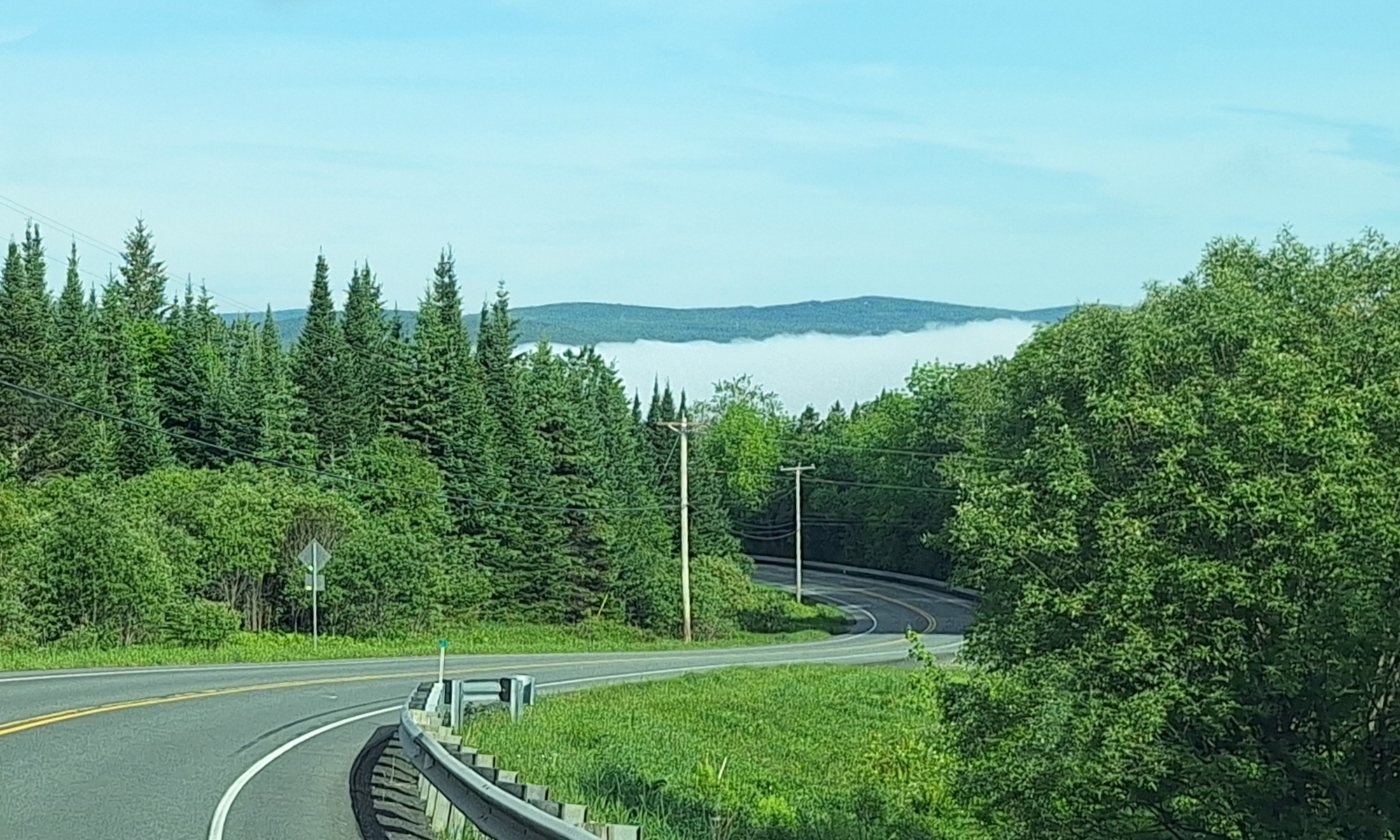
(m6fi-ntr-vt-2026-0610.0750) Clouds hanging low over the Valley
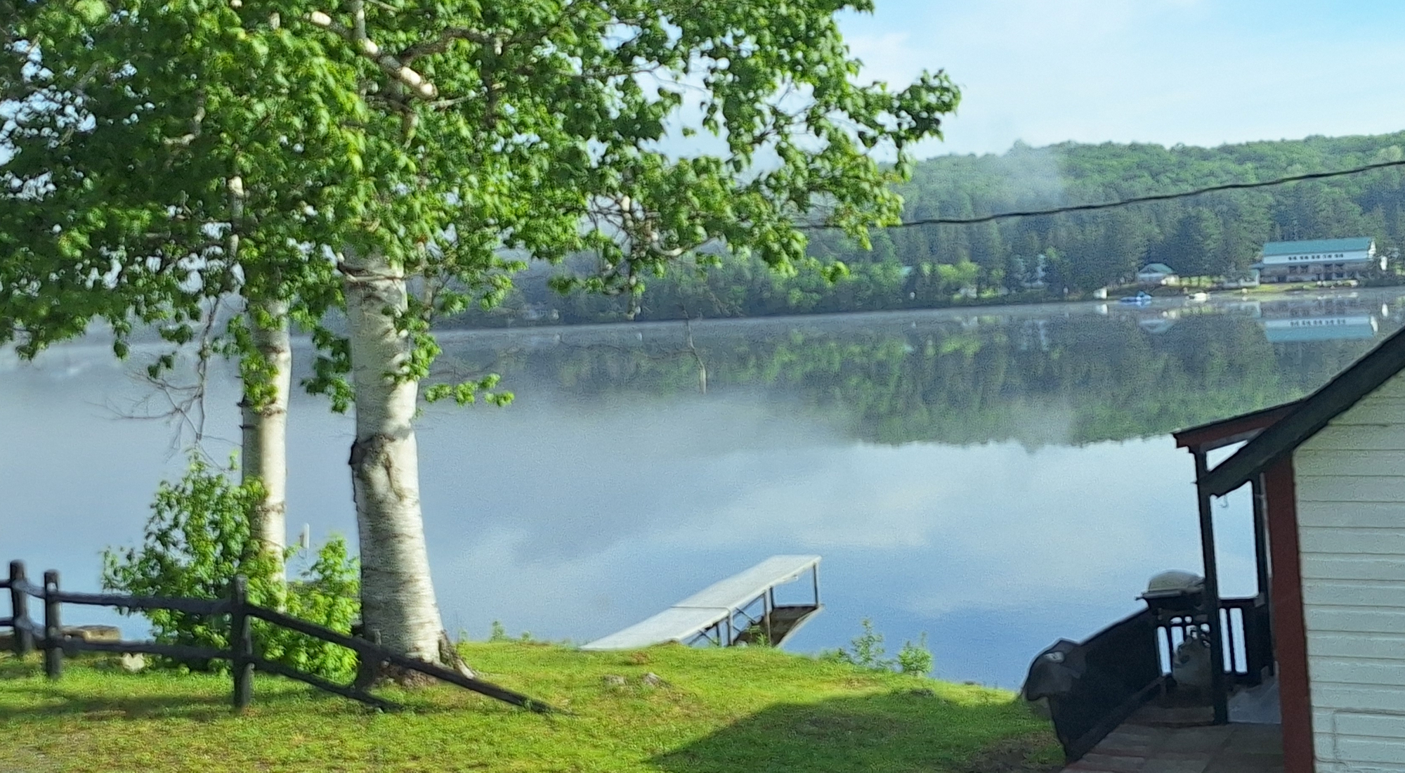

(m6fi-ntr-vt-2026-0610.0753) Lakeside with clouds close in
The Long Trail
The first familiar spot is when I come to where the Long Trail crosses Vermont SH 105, I see a road sign indicating that there is a pedestrian trail ahead and I stop at the location for this trail. Yes, the following year after walking the Appalachian Trail, I returned to Vermont to hike the the entire Long Trail. However, this trail was way too short for what I really wanted and I remember how sad I was when I arrive at this highway, which meant that I only had about two miles until I arrive at the end of my hike of the Long Trail that year.
I stop, park at near the trail and take photos of both the southbound and northbound footpaths.

(m6fi-ntr-vt-2026-0613.0756) The Long Trail on SH 105, Southbound
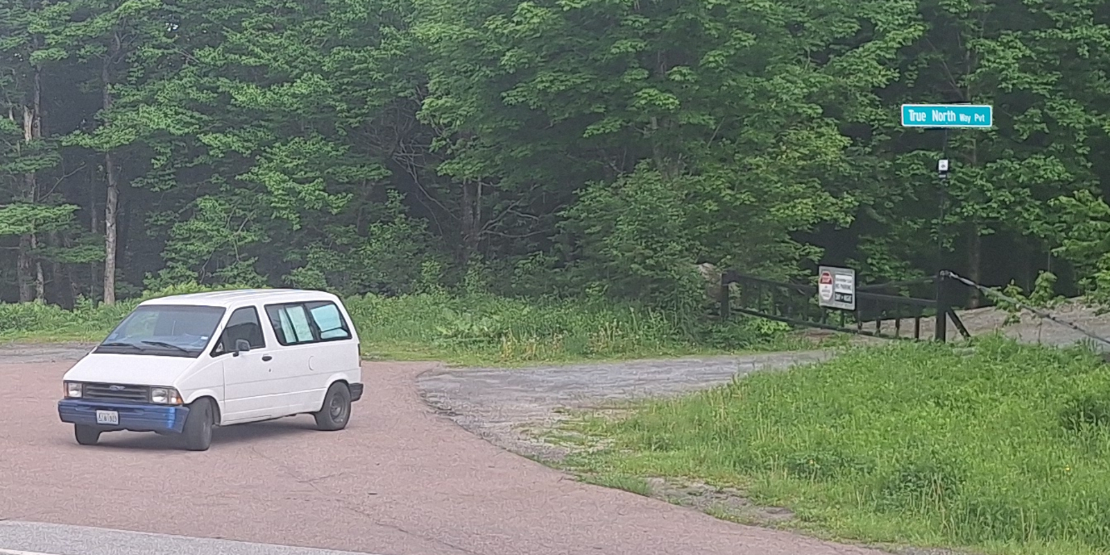
(m6fi-ntr-vt-2026-0613.0757) The Jammer on the Long Trail
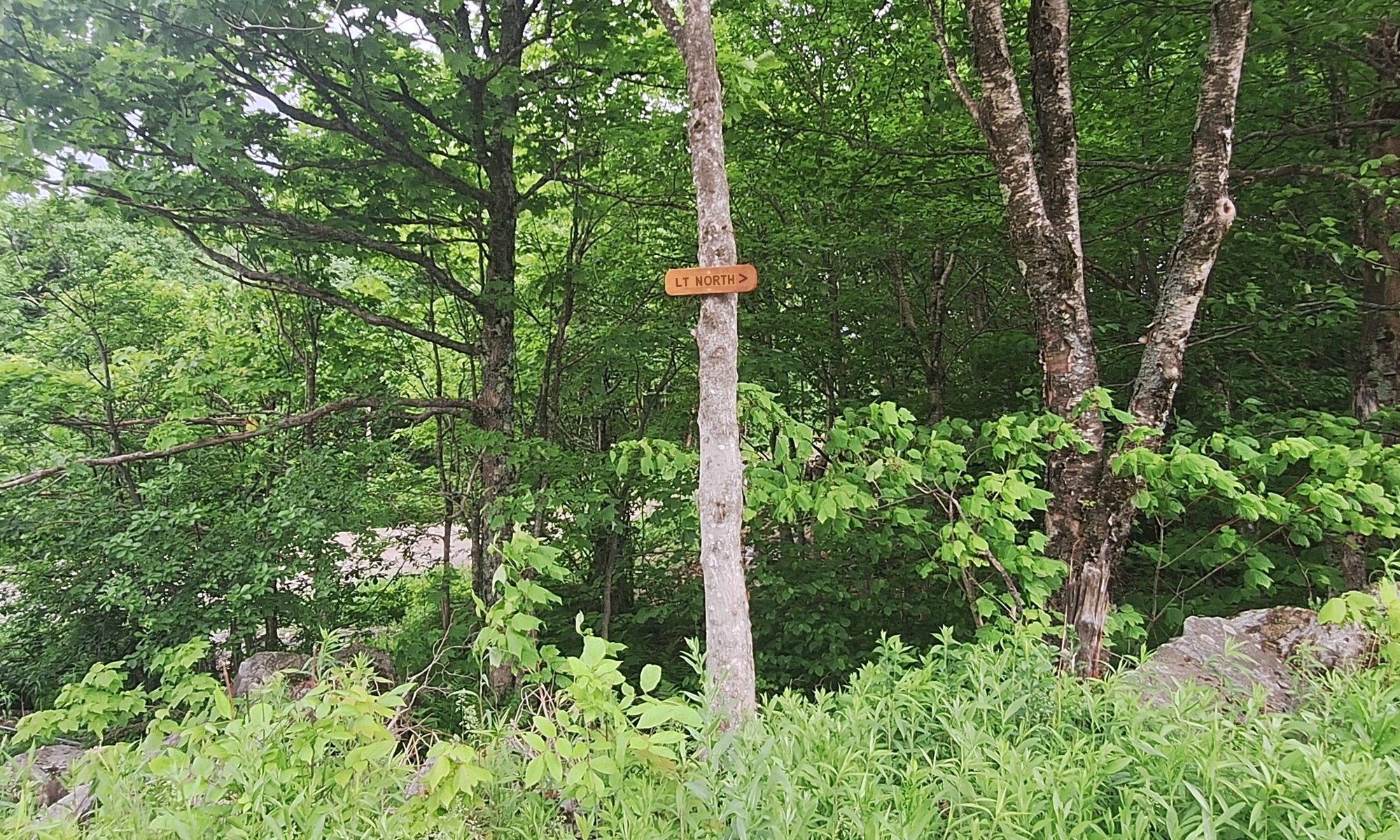
(m6fi-ntr-vt-2026-0613.0758) The Long Trail on SH 105, Northbound
The Lake Champlain
Then, the road path takes me across the top remaining part of the top of Vermont, along the Missisquoi River, across upper Lake Champlain, across the Richelieu River and into the state of New York.

|
| |
| |
|
To go back to the Gallery Index, click on the down arrow.
|
|
|
Thank you for visiting
The Wayƒarers Journal.
| |
See Ya above the Treeline!
| |
This Page Last Updated: 30 June 2026
|
|
|
|
To continue to the next Episode Level page,
Click here

|
|
| |



