The Wayƒarers Journal ©

The Journal

The Wayƒarers

The Selƒ

The Journey

The Burden

The Mountain

   The Ancients
   The Earth
   The Life
   The Modern Man
   The Nonpareils
   The Steps

     Steps Afoot
     Steps Afield

      Idaho
      Maine
      Michigan
      Minnesota
      Montana
      New Hampshire
      New York
      North Dakota
      Ohio
      Pennsylvania
      Vermont
      Washington
      Wisconsin

   The Way

The Appendix

The Wayƒarer
The Mountain
Go to bottom of this page
THE STEPS AFIELD
Roadpath Journeys: North Dakota

The National Northern Tier Route Go Down Go Up
The National Northern Tier Route Information
Roadpath Route Requirements:
In the original determination for choosing the roadpath route, the requirements were simple: (1) The roadpath must be a hard surface road; (2) The roadpath must be contiguous across the entire route, (3) The roadpath must not be an Interstate Highway (or any highway which would exclude bicycles) and (4) The roadpath route, in describing the "Northern" and/or "Northernmost" Highways, has as a definition, those highways which remain within the United States nearest to the USA/CAN border without crossing into Canada.
National Northern Tier Route Information
National Roadpath Description:
The Northern Tier route is the northernmost transcontinental roadpath entirely within the United States, which roadpath consists of a series of contiguous highways traverses the extreme northernmost highways within the country.
This contiguous roadpath traverses a distance of 4,872 miles, with the western terminus end at the Cape Flattery Trailhead in Neah Bay, Washington, a foot path to the northern most lighthouse in Washington and the eastern terminus end at the West Quoddy Head where a lighthouse of the same name is located and this point is the easternmost point in the United States.
National Roadpath Information:
Roadpath Type: West-East transcontinental route
Roadpath Total Length: 4,872 miles, 7841 km
Roadpath Use: automobiles, bicycles
Roadpath Year Built: 1926 and/or later
Roadpath Waymark: current highway signs associated with each roadpath
Roadpath Terminus Point One:
Location West: Cape Flattery Trailhead Parking Lot, Washington
Coordinates: 48.3849460, -124.7158605
Elevation: 349 feet
Roadpath Terminus Point Two:
Location East: West Quoddy Head Lighthouse, Maine
Coordinates: 44.8150633, -66.9504890
Elevation: 63 feet
National Roadpath History:
This is a brand new National Scenic Byway, one which has its origin found within my personal desire to travel (as a recreational passage) across the top of the United States. In the fall of 2025, I left the west coast of Washington state headed eastbound on this roadpath with the desire to drive and document the route, recording the specific highways traveled, as well as locations for camping and/or overnighting. I was only able to drive to the state of Minnesota before the temperatures plummeted to near freeze at night, causing me to turn right and drive south to a warmer region (south Texas) for the winter.
Then, in the middle of February 2026, with the temperatures in south Texas soaring into the eighties, I departed my winter hiatus to begin my northbound Journey On™ through North America, traveling east by northeast through the Interior Lowlands Region, then into the Appalachian Mountains Region where I turned northeast into and through New England to the eastern terminus of this new National Scenic Byway, is the easternmost point in the lower 48 states, a coastal lighthouse know as West Quoddy Head Lighthouse located not far from the town of Lubec, Maine, from whence I will begin the logistical eastbound drive of the North Tier Route.
National Roadpath Map:
The Roadpath Journeys
The Northern Tier Route
National Roadpath Map
(m0-maps-us-ntr-map) National Northern Tier Route Map

The State Northern Tier Route, North Dakota Go Down Go Up
Northern Tier Route State Section
Description:
State Roadpath Information:
State Roadpath Type: US and State Highways
State Roadpath Length:
Upper Route Length:
SH 5: 335 miles
State Roadpath Terminuses
Roadpath Terminus Point One:
Location West: Montana State Line near Westby, MT
Coordinates: 48.87375072664093, -104.04886733225109
Elevation: 2,100 feet
Roadpath Terminus Point Two
Location East: Minnesota State Line at Red River Bridge
Coordinates: 48.787516571496255, -97.15766030343836
Elevation: 761 feet
Roadpath History:
This is the primary choice for the ND roadpath of the Northern Tier Route,
but circumstances thus far have prevented me from driving this roadpath.
Lower Route Length: Alternate Route
US 2: 355 miles
State Roadpath Terminuses
Roadpath Terminus Point One:
Location West: US Highway 2 at North Dakota/Montana State Line
Coordinates: 48.1373662, -104.0453326
Elevation: 2,246 feet
Roadpath Terminus Point Two
Location East: John F. Kennedy Memorial Bridge
Across the Red River at Grand Forks, ND
Coordinates: 47.9332488, -97.0373244
Elevation: 871 feet
State Geographic Information:
West Geographical Region: Great Plains
Ecoregion: Glaciated Plains
East Geographical Region: Interior Lowlands
Ecoregion: Glaciated Plains
State Roadpath Map:
The Roadpath Journeys
The Northern Tier Route
North Dakota Roadpath Map
(m0-maps-ntr-nd-map) North Dakota Northern Tier Route Map

The 2026 Journey, Northern Tier Route, North Dakota Go Down Go Up
With the initial goal to drive the entire Northern Tier Route (NTR) during my 2026 Journey On forestalled, I have decided instead to traverse US highway 2 across the rest of the continent, making intermittent long drives with two or three day stops to rest up from the long drives. I have already done two drives of about 450 to 500 miles each and on the last drive was able to cross from Bemidji, Minnesota to Williston, North Dakota, driving for 451 miles for nearly eight hours.
Too, I have also been having to replace a lot more parts on the jammer that I had planned for, which quickly uses up the available funds that I have for this trip. Currently, I am taking a two day rest break from the driving so that I can also connect tomorrow with the weekend meeting in Oak Harbor. Further, after my next long drive, I will be in the Mountain Time Zone, which will allow me to connect with the mid-week meeting there as well.
The Drive from Minnesota across North Dakota
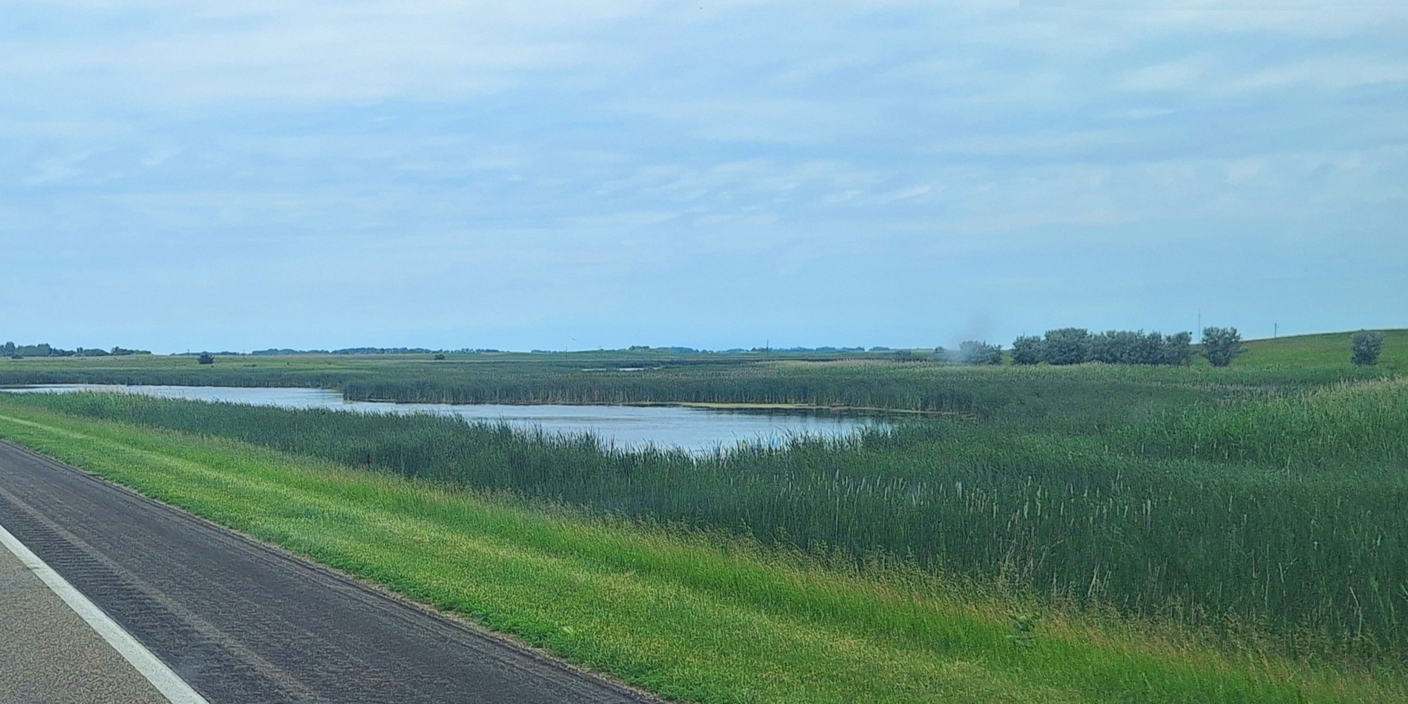
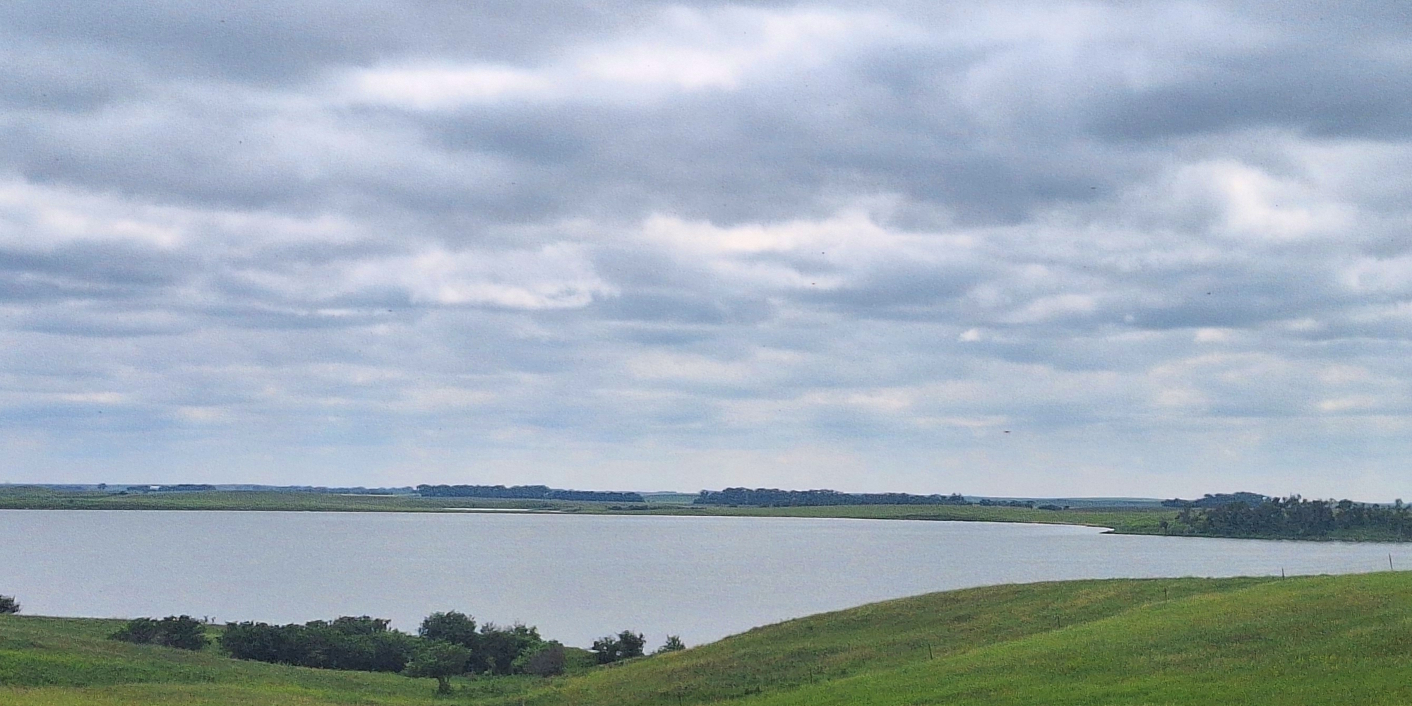
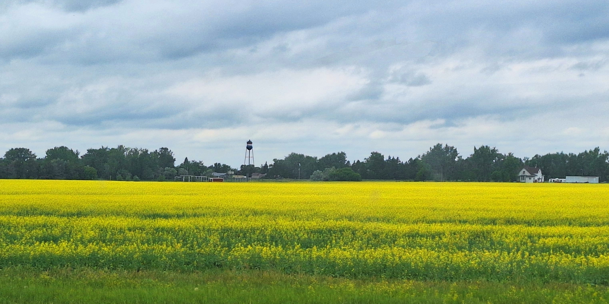
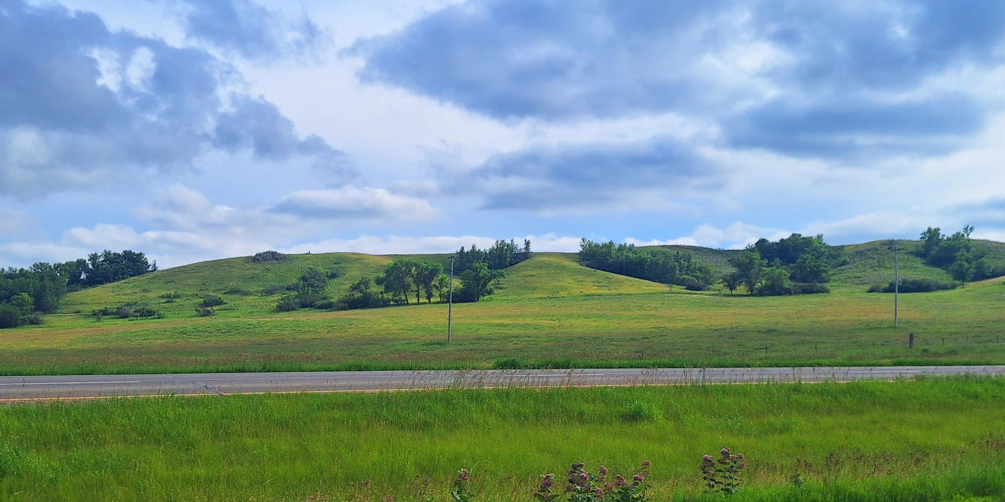
The next five photos are from the drive west into North Dakota after crossing the John R. Kennedy Memorial bridge over the Red River of the North, which is the border between Minnesota and North Dakota.
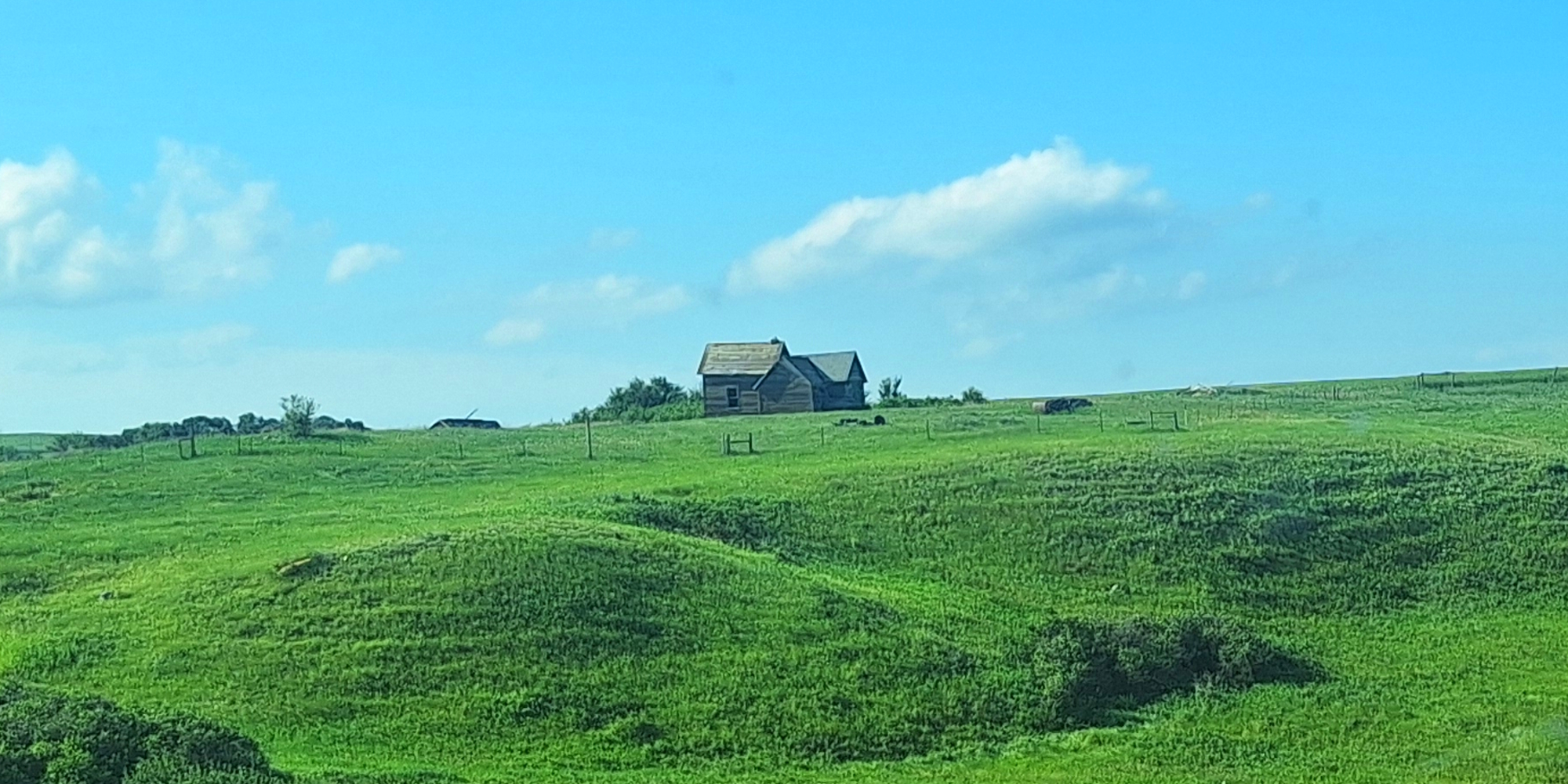
Initially, the state of North Dakota was all flat lands and then upon arriving in the western park to the state, there began to appear some hills, not very tall but also different from the mostly flat eastern side of the state.
The Roadpath Journeys
The Northern Tier Route, North Dakota
(m6fi-ntr-nd-2026-0703.1412) The Northern Tier, North Dakota Lakescape
The Roadpath Journeys
The Northern Tier Route, North Dakota
(m6fi-ntr-nd-2026-0703.1525) The Northern Tier, North Dakota Lakescape
The Roadpath Journeys
The Northern Tier Route, North Dakota
(m6fi-ntr-nd-2026-0703.1550) The Northern Tier, North Dakota Canola Crop
The Roadpath Journeys
The Northern Tier Route, North Dakota
(m6fi-ntr-nd-2026-0703.1716) The Northern Tier, North Dakota Hills
The Roadpath Journeys
The Northern Tier Route, North Dakota
(m6fi-ntr-nd-2026-0703.181) The Northern Tier, North Dakota Homestead
Williston, North Dakota
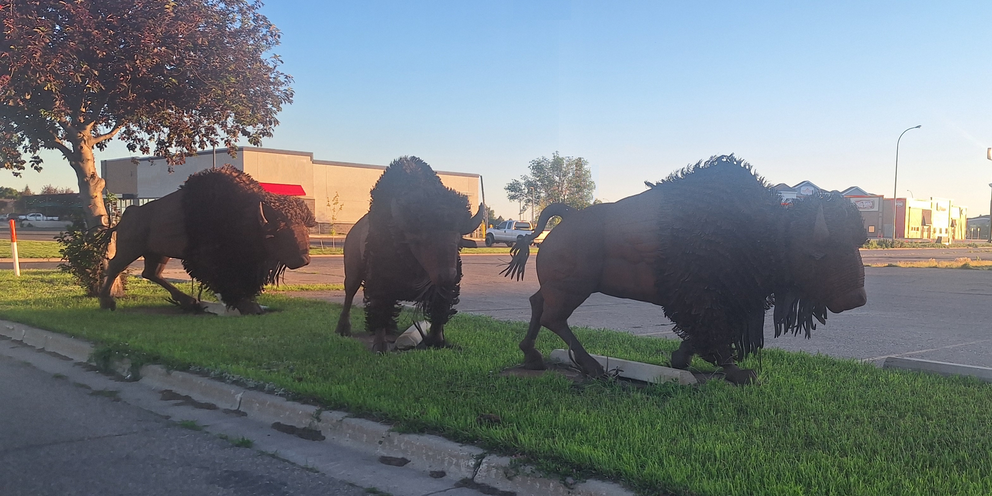
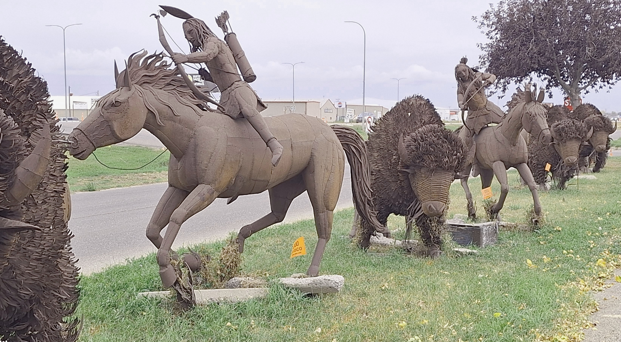
The coffee cafe is literally in the building right behind the left buffalo in this photo and the overnight parking lot is just to the right of these buffaloes. Notice how much shade is in this area from the very large trees.
The Roadpath Journeys
The Northern Tier Route, North Dakota
(m6fi-ntr-nd-2026-0704.2109) The Northern Tier, North Dakota Sheet Metal Buffalo
The Roadpath Journeys
The Northern Tier Route, North Dakota
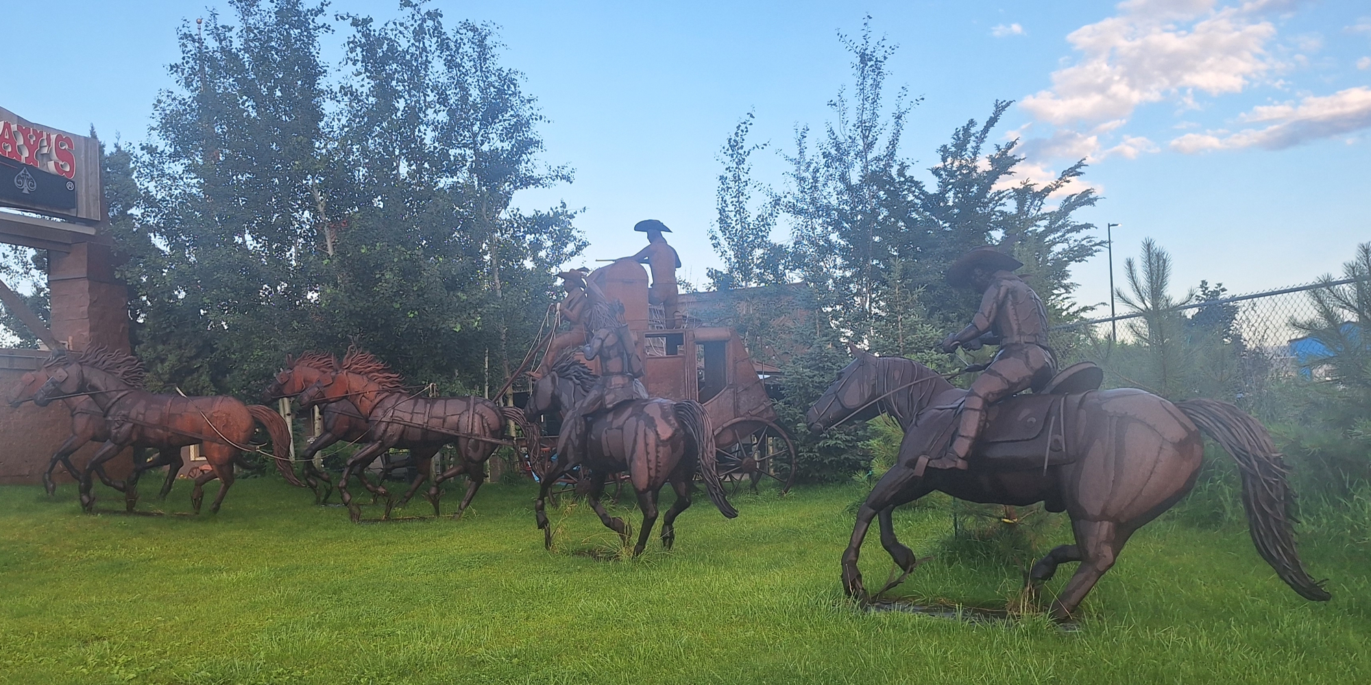
(m6fi-ntr-nd-2026-0705.0705) The Northern Tier, North Dakota Sheet Metal Sculpturs
The Roadpath Journeys
The Northern Tier Route, North Dakota
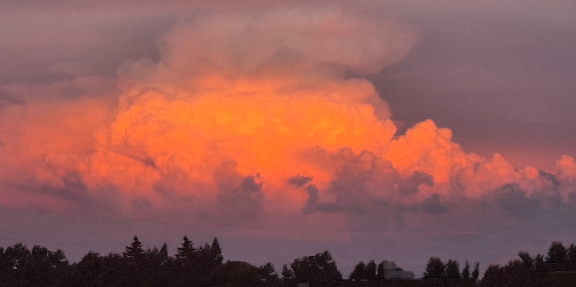
(m6fi-ntr-nd-2026-0705.2158) The Northern Tier, North Dakota Sunglow

The 2025 Journey, Northern Tier Route, North Dakota Go Down Go Up
The Roadpath Journeys
The Northern Tier Route, North Dakota
(m6fi-ntr-nd-2025-1004.1827) The Northern Tier Route

To go back to the Gallery Index, click on the down arrow. Go back to the
Gallery Index Go to previous section
on this page

Thank you for visiting The Wayƒarers Journal.

See Ya above the Treeline!

This Page Last Updated: 30 June 2026


To continue to the next Episode Level page, Click here go to top
 
The Wayƒarers Journal © ::: Come Join the Journey ™
by Thom Buras
Come Join the Journey ™