S
The Wayƒarers Journal ©

The Journal

The Wayƒarers

The Selƒ

The Journey

The Burden

The Mountain

   The Ancients
   The Earth
   The Life
   The Modern Man
   The Nonpareils
   The Steps

     Steps Afoot
     Steps Afield

      Illinois
      Indiana
      Maryland
      Ohio
      Pennsylvania
      West Virginia

   The Way

The Appendix

The Wayƒarer
The Mountain
Go to bottom of this page
THE STEPS AFIELD
Roadpath Journeys

The National Road: Illinois Go Down Go Up
The National Road Information
National Road Description:
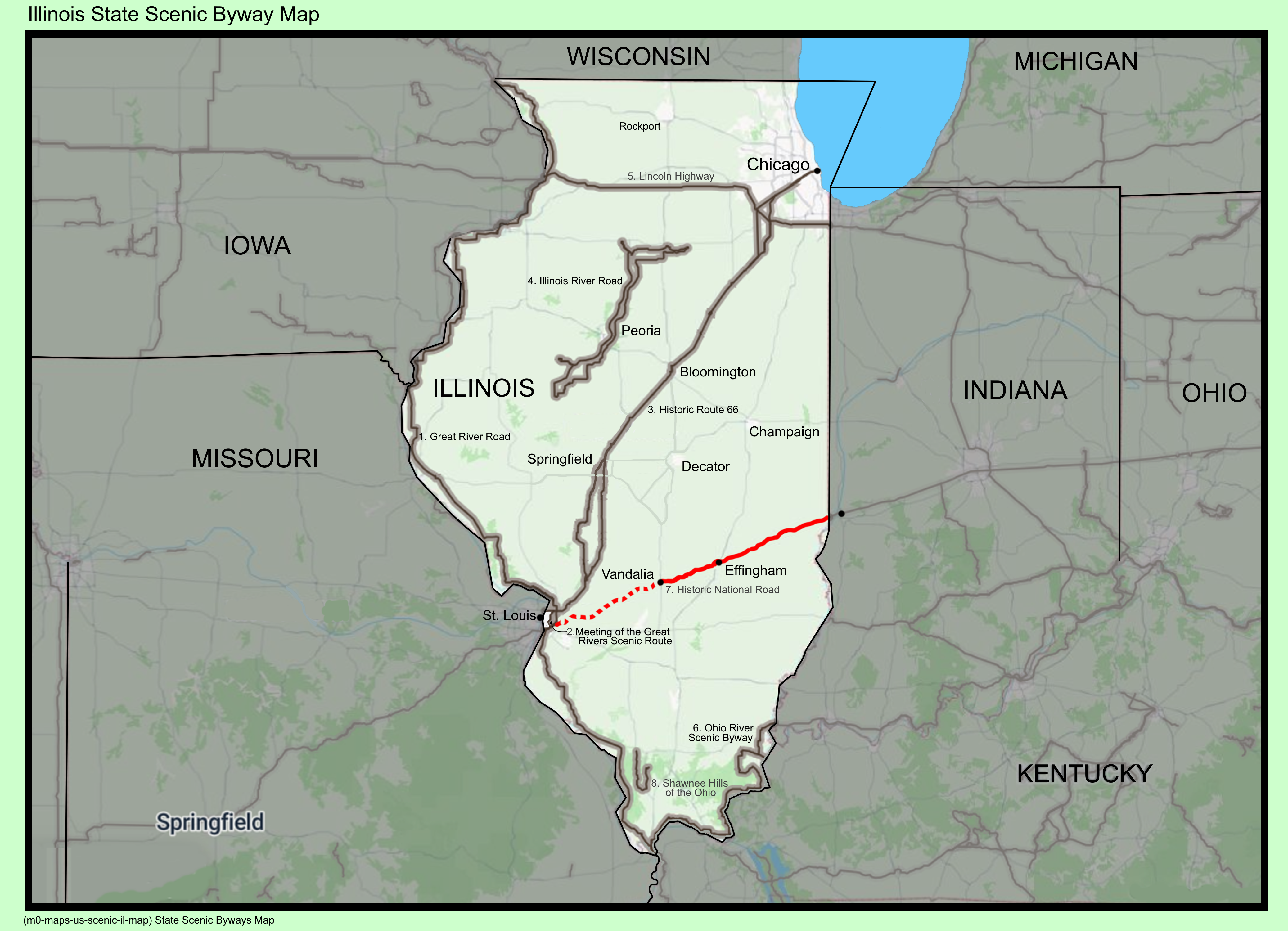
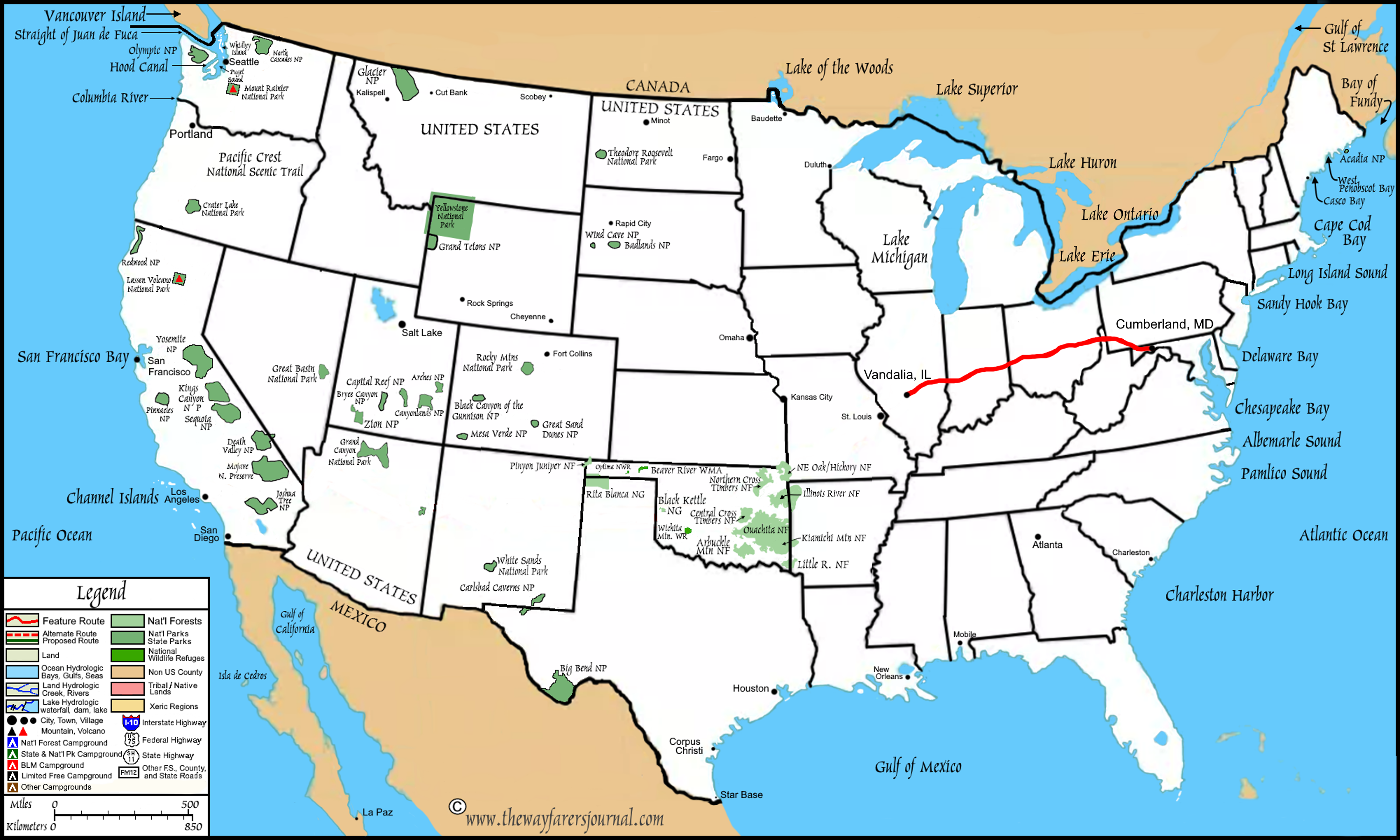
The National Road was the first major US highway that was built with federal funds, authorized by President Jefferson in 1806 to connect the Potomac river in Cumberland, Maryland with the Ohio River. Construction began in 1811, reaching the Ohio river by 1818, and eventually completing a roadpath to Vandalia, Illinois by 1839. The National Road served as a vital, historic artery for westward expansion for migration of settlers, it impacted commerce and it opened up the Mississippi River basis for US westward expansion.
The National Road became a major route for early automobile travel, and eventually became US Highway 40. Today, the old roadpath is largely followed by U.S. Route 40, with many sections designated as a scenic byway, with the communities and/or states preserving historic inns, markers, bridges and sections of roadpath.
National Roadpath Map:
The Roadpath Journeys
The National Road: National Map The Roadpath Journeys
The National Road: State Road Sign
(m6-fi-nationalroad-il-2026.0418.1208) National Road, Illinois State Sign

The National Road in Illinois Go Down Go Up
State Roadpath Description:
Although, after the federal funding and the initial construction ended during 1838, leaving the western terminus of the National Road in Vandalia, Illinois, which was the original capitial of the state, it will only make sense to me that I took, officially begin my roadpath journey here as well.
However, the state of Illinois did not leave that terminus in Vandalia, but instead pushed the road path further westward to the Mississippi River near Saint Louis, Missouri, which new location proved to be a much more substantial terminus.
In 2002, the National Road was designated an All-American Road by the U.S. Department of Transportation, recognized for its cultural and historical significance.
Highlights
Marshall
Here, you will find the entry point from Indiana and a city with many historic downtown buildings.
Casey:
A city known for its World′s Biggest attractions, and an Olive Tree Marketplace with the best olive oil and balsamic vinegar sampling bar.
Vandalia:
The original western terminus of the road and second capital city of Illinois. This city features the National Road Interpretive Center and the Vandalia State House State Historic Site, where Abraham Lincoln began his political career.
Greenup:
Known for its picturesque Jackson Truss covered bridge over the Embarras River.
Collinsville:
Near the western end of the route, this town features the Cahokia Mounds State Historic Site, a UNESCO World Heritage site.
State Roadpath Information:
Roadpath Type: Historic, All American Road, 2002
Roadpath Length:
Original: 1811-1839 89 miles
Terminus in Vandalia, IL
Reconstruction 1900s to Present: 164 miles, 263.9 km
Extended by state to Mississippi River
Roadpath Terminus Point One:
Location West:
Coordinates: 38.9614350, -89.0960154
Elevation: 502 feet
Roadpath Terminus Point Two:
Location East:
Coordinates: 39.4375127, -87.5313583
Elevation: 560 feet
Roadpath Highest Elevation: 650-700 feet,
Marshall, Illinois
Roadpath Lowest Elevation: 496 feet,
Vandalia, Illinois
Roadpath History:
Authorized by Congress in 1806 and signed by President Thomas Jefferson to be used to open the west to settlement.
Federal funding and construction terminated in 1839 which was due to the rising popularity of railroads and the opposition to federal funded road construction.
Geographical Information:

The 2026 Journey: Illinois National Road Go Down Go Up
Saturday, 18 April 2026, Vandalia, Illinois.
(Day 797 TS) 48°F. 6:30 am, sunny
Journey On™, Day 63
I drive out of the d-mart parking lot, turn left onto US 40, cross over IN 70, take the first left to follow US 40 and then left again into the parking lot of a restaurant. After parking near the front door, I carry my computer, walk inside and the hostess points and tells me that the booths along those windows have receptacles. I sit down, turn on my computer and begin composing my journal entry for today. I have an omelet, hash brown potatoes, wheat toast and coffee and eat my breakfast whilst pounding keys. Finally, after more than an hour at the table, I pack out and head for the next stop on my Journey On.
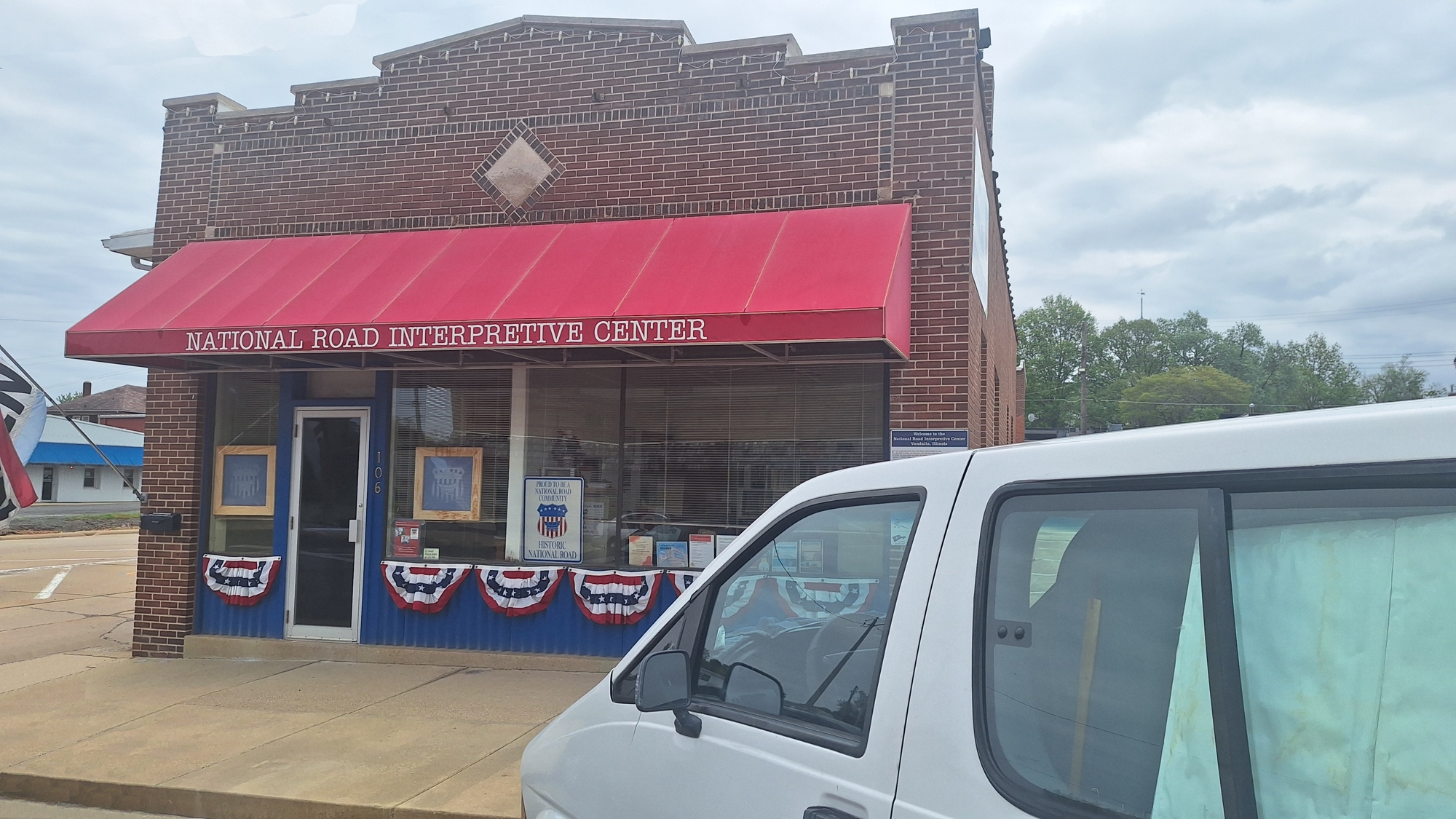
However, before I leave Vandalia, Illinois, I stop at a visitors center here in town to learn a little more about the scenic road that I plan to travel for the next several days, which during I will be driving through this continents great Interior Lowlands Region, which I will remain in through the next three states. Only after crossing through Ohio and entering Pennsylvania, will I leave the Interior Lowlands and enter the Appalachian Mountains Region.
The Roadpath Journeys
Illinois: The National Road
(m6fi-national-il-2026-0418.1134) The National Road Interpretive Center
The railroad was laid at some later time, but true to that industry, came they did and so, I will also take photos of some of the bridges and other interesting aspects of the railpath.
The Roadpath Journeys
Illinois: The National Road
(m6fi-national-il-2026-0418.1210) The Railroad along the National Road
The Roadpath Journeys
Illinois: The National Road
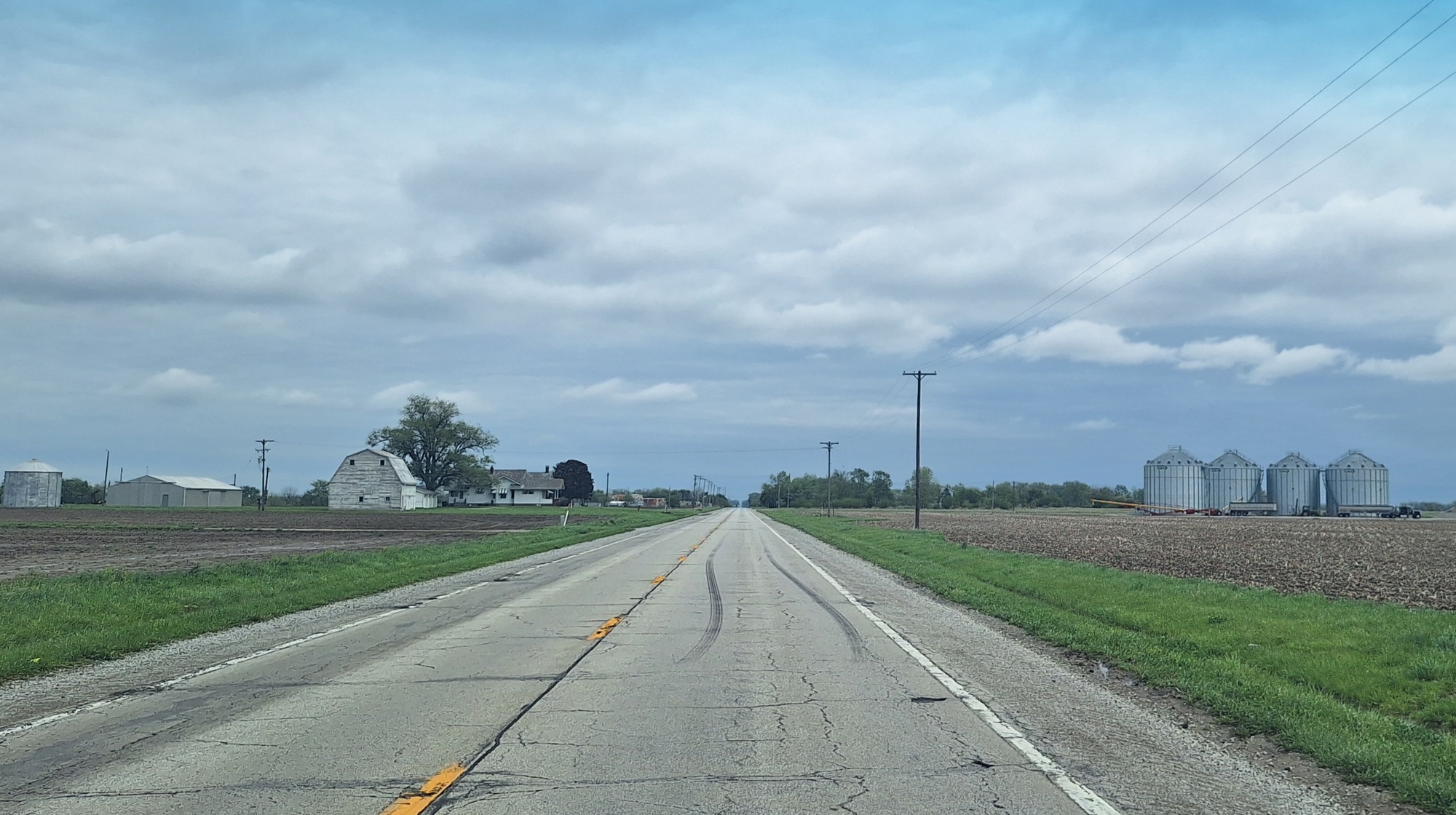
(m6fi-national-il-2026-0418.1220) Lots of Farmland along the old road path
The Roadpath Journeys
Illinois: The National Road
(m6fi-national-il-2026-0418.1223) The National Road, old road path
The Roadpath Journeys
Illinois: The National Road
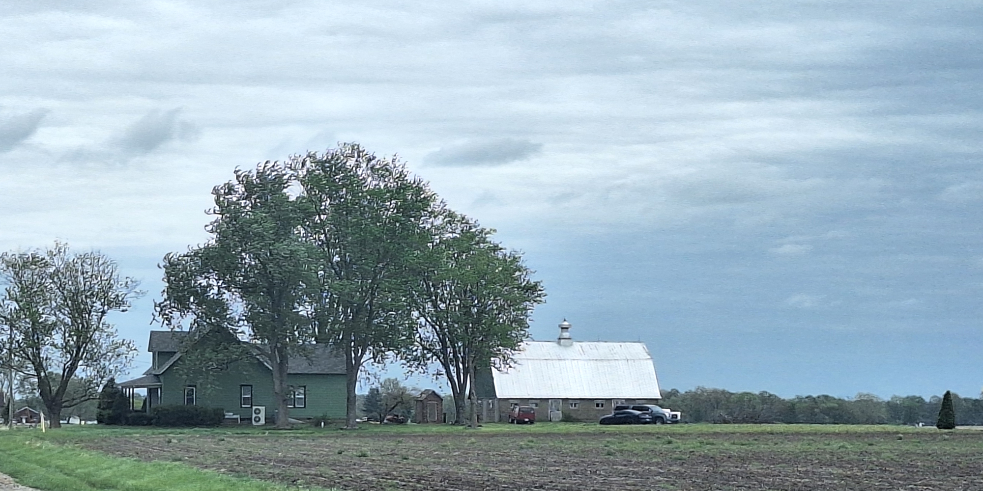
(m6fi-national-il-2026-0418.12230) The National Road, farmstead
The Roadpath Journeys
Illinois: The National Road
(m6fi-national-il-2026-0418.1311) The National Road, wind mill and farmland
The Roadpath Journeys
Illinois: The National Road
(m6fi-national-il-2026-0418.1340) The National Road, Jackson Truss Covered Bridge
The Roadpath Journeys
Illinois: The National Road
(m6fi-national-il-2026-0418.1345) The National Road, Jackson Truss
The Roadpath Journeys
Illinois: The National Road
(m6fi-national-il-2026-0418.1346) The National Road, Covered Bridge north side
The Roadpath Journeys
Illinois: The National Road
(m6fi-national-il-2026-0418.1352) The National Road, old road path
The Roadpath Journeys
Illinois: The National Road
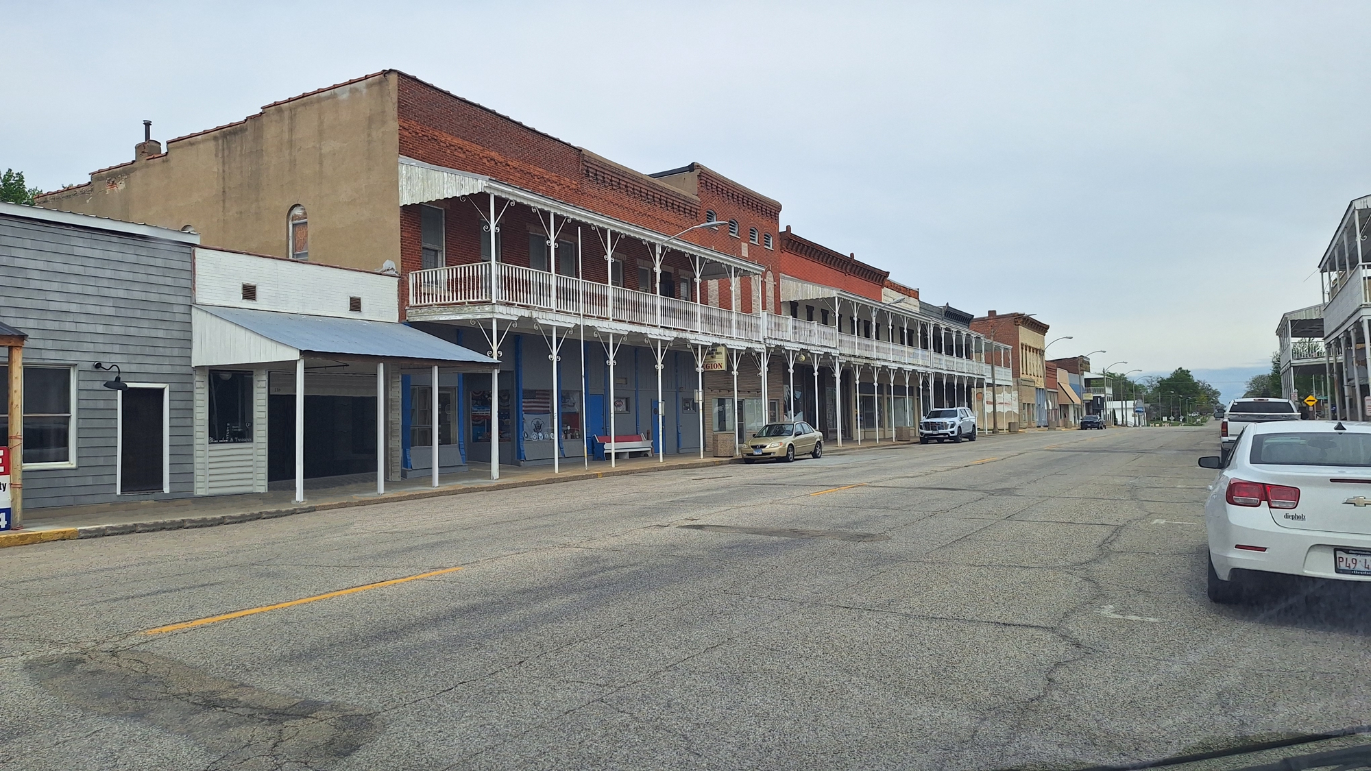
(m6fi-national-il-2026-0418.1443) The National Road, historic downtown buildings
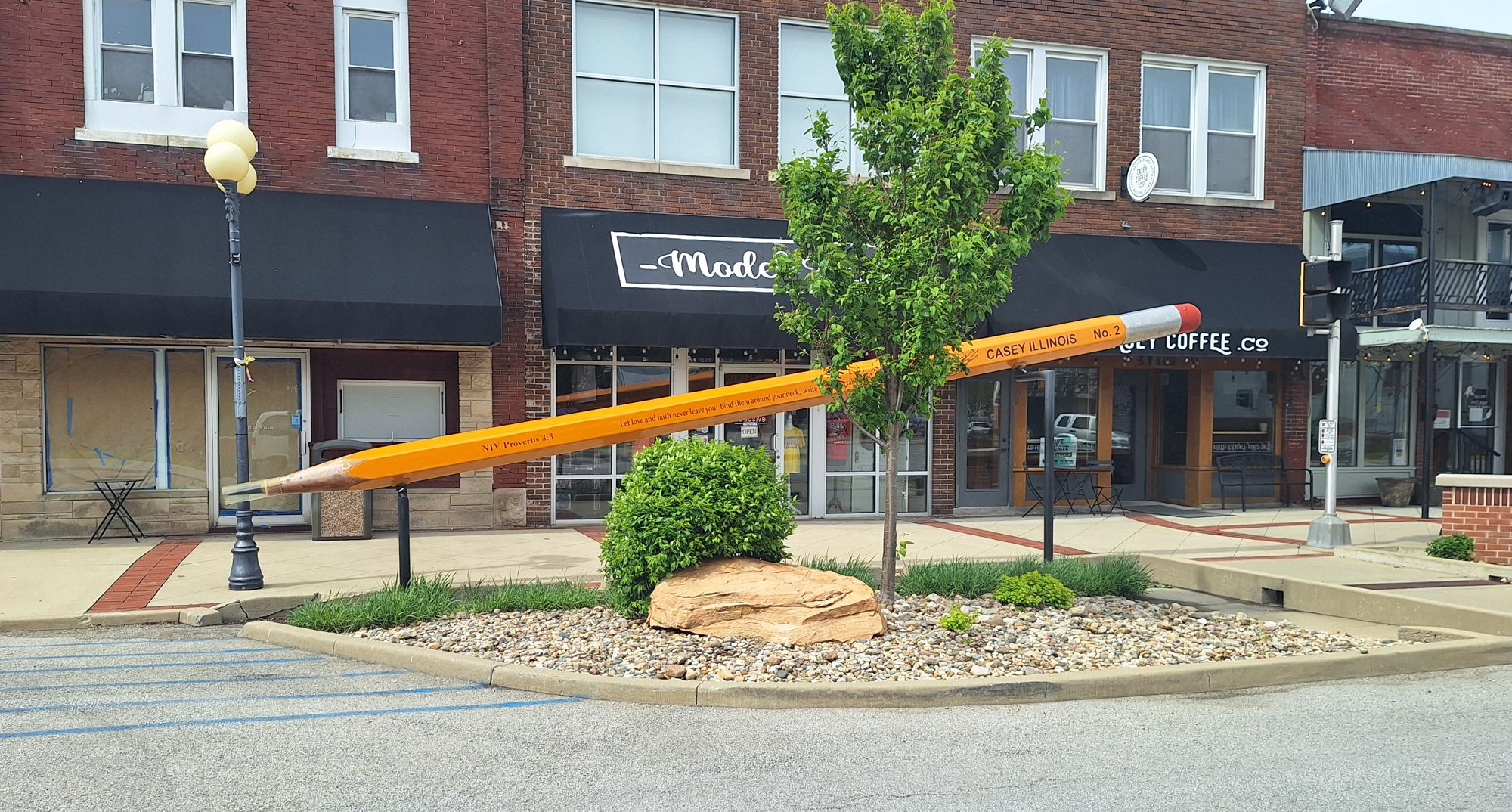
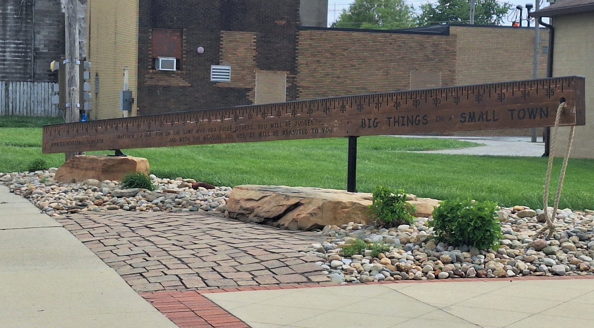
Upon my arrival at Casey, Illinois, I find that this town has gone out of their way to create a series of World Records, likely doing so for the tourist dollar.
The Roadpath Journeys
Illinois: The National Road
(m6fi-national-il-2026-0418.1456) The National Road, the world′s largest
The Roadpath Journeys
Illinois: The National Road
(m6fi-national-il-2026-0418.1507) The National Road, the world′s largest
The Roadpath Journeys
Illinois: The National Road
(m6fi-national-il-2026-0418.1511) The National Road, the world′s largest
The Roadpath Journeys
Illinois: The National Road
(m6fi-national-il-2026-0418.1517) The National Road, the world′s largest
The Roadpath Journeys
Illinois: The National Road
(m6fi-national-il-2026-0418.1519) The National Road, the world′s largest
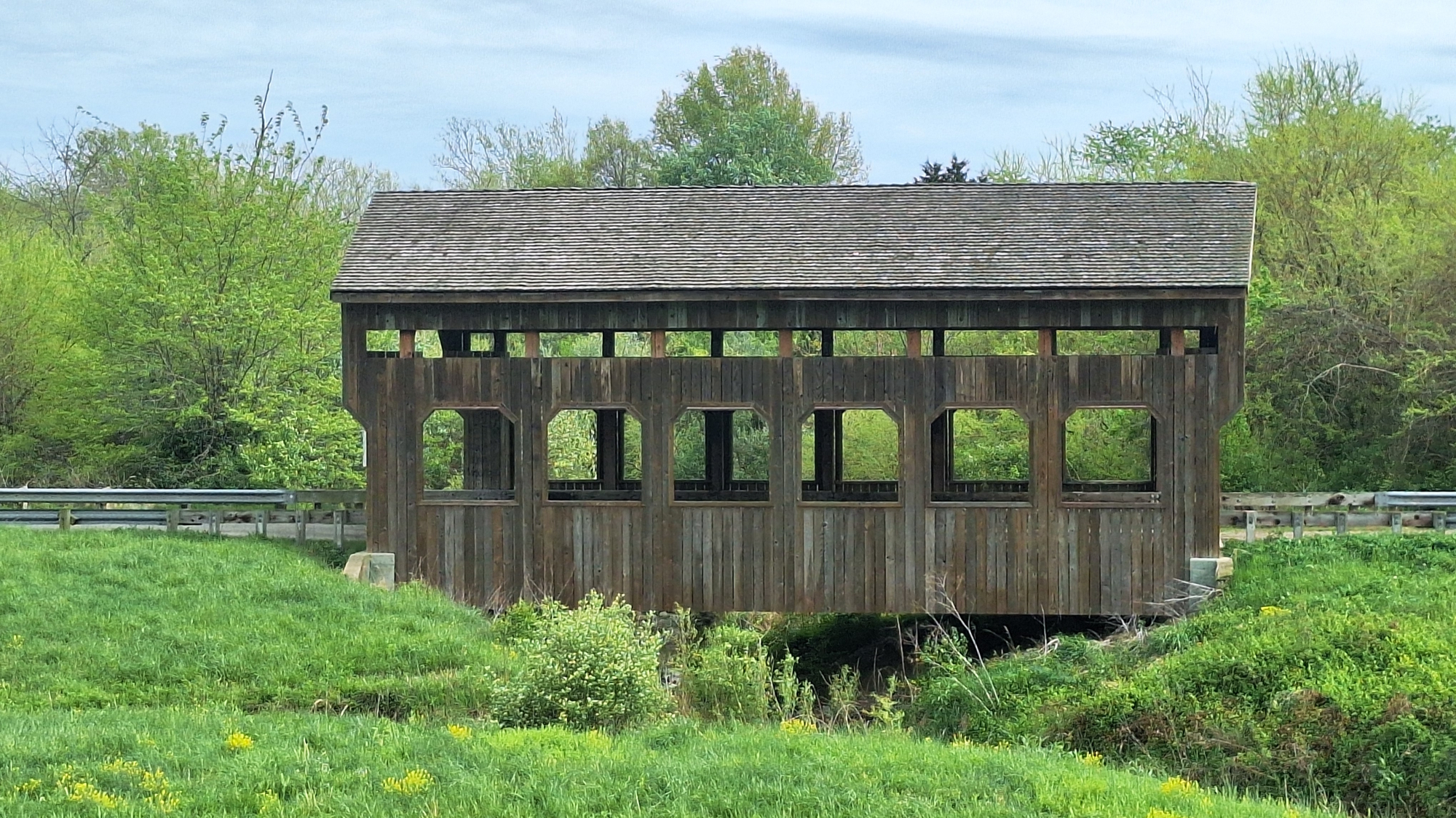
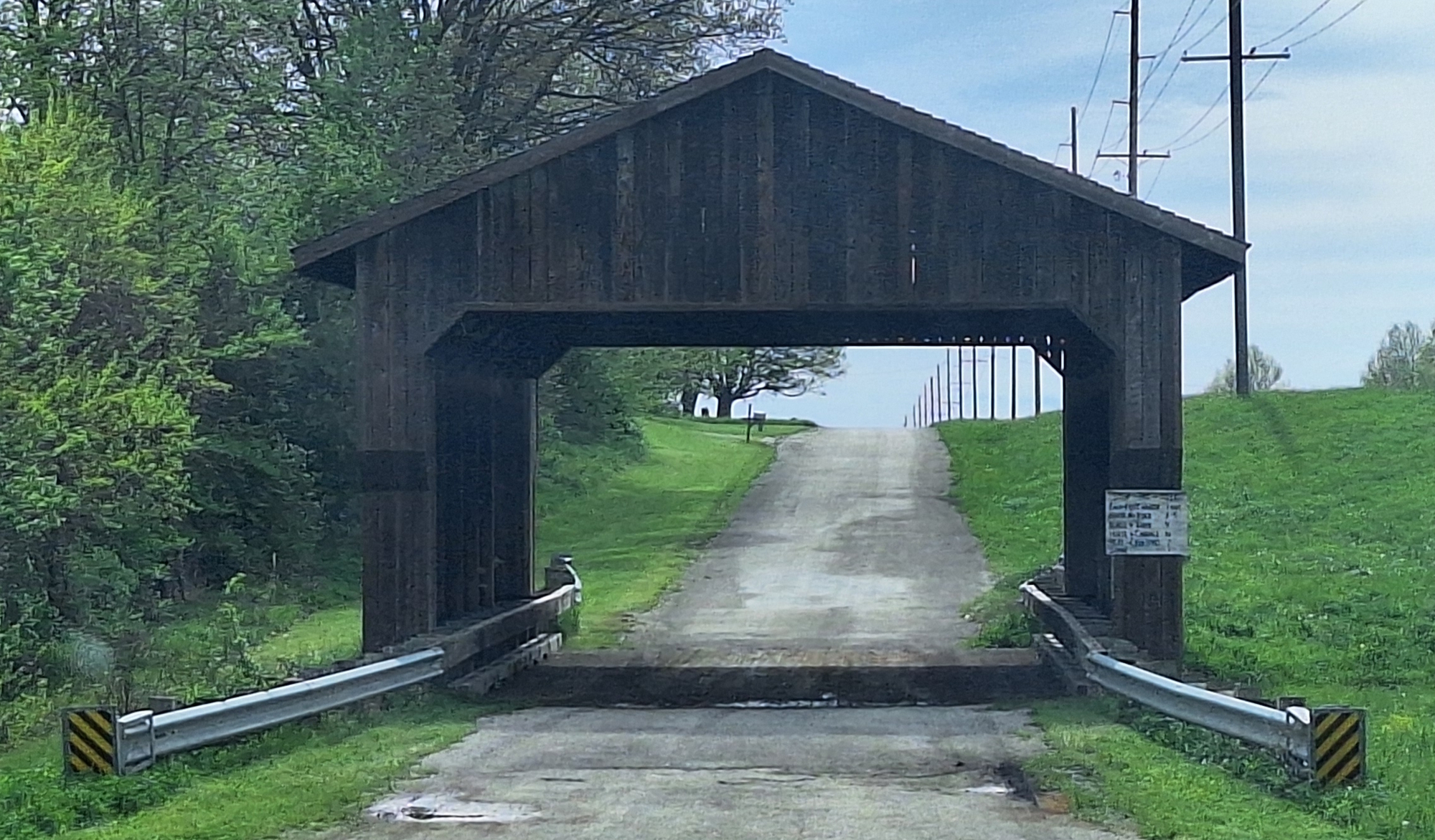
There were many more Largest Items but methinks, enough is enough. I drive out of town and come upon my second Covered Bridge.
The Roadpath Journeys
Illinois: The National Road
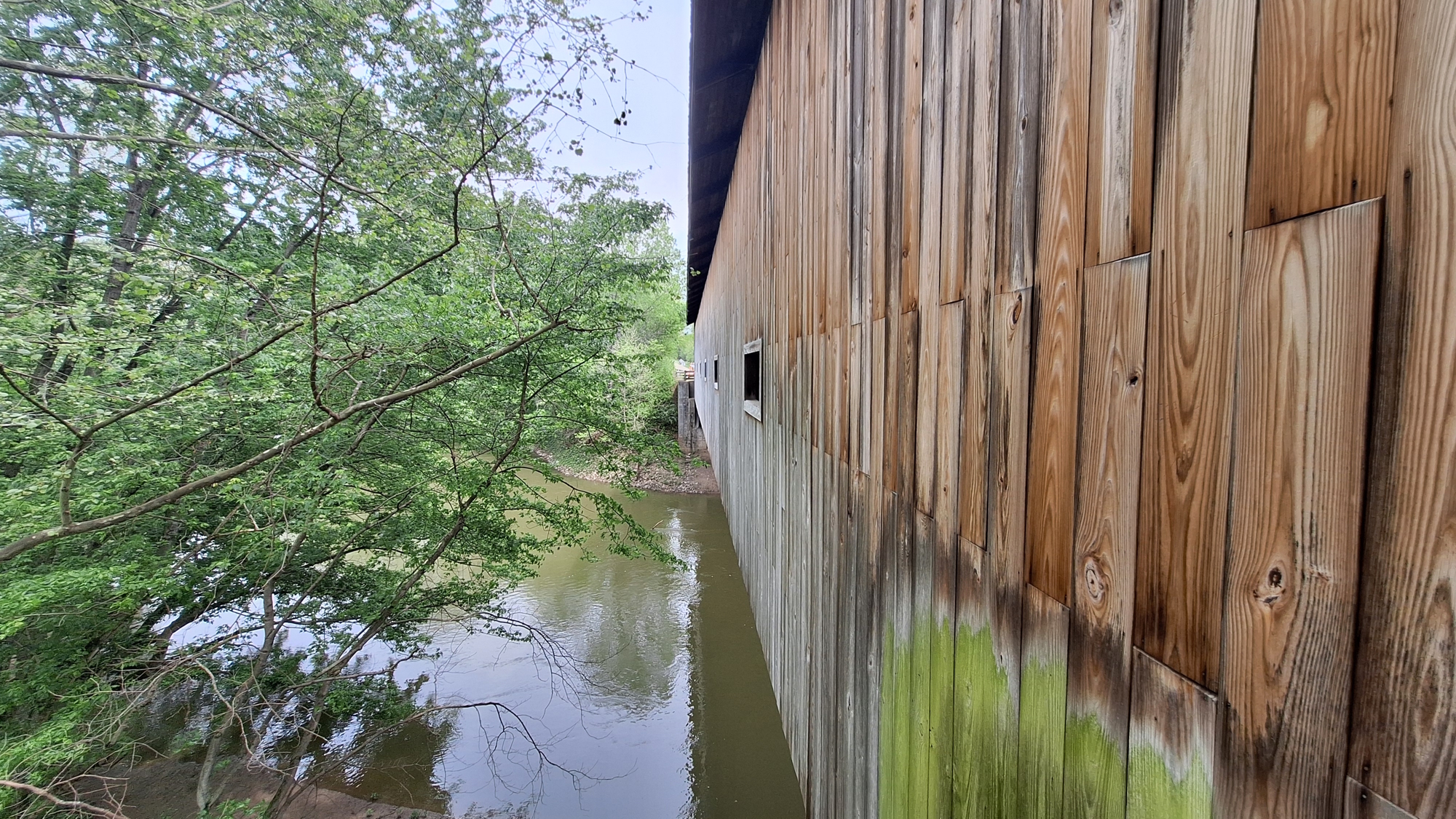
(m6fi-national-il-2026-0418.1603) The National Road, Covered Bridge
The Roadpath Journeys
Illinois: The National Road
(m6fi-national-il-2026-0418.1605) The National Road, Covered Bridge: Foot Traffic: 1 cent.
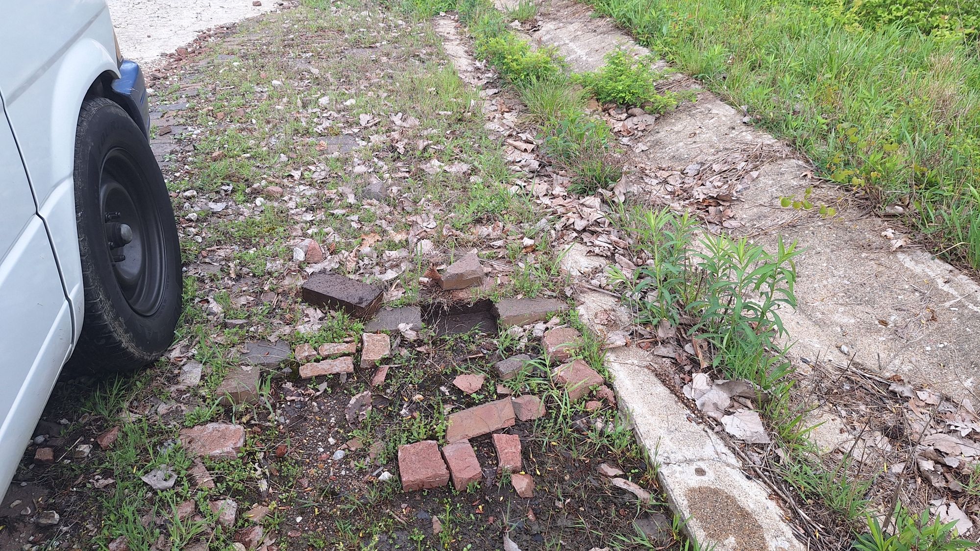
Just before I arrive in Marshall, Illinois, I see a post on the Google Maps which states, "1918 Brick National Road" and methinks, "I must needs stop to investigate." I am glad that I did stop because I found at the location where the old National Road was not paved over by the new US 40 highway, but instead, the New US 40 was built about 200 feet to the north of the old road path. I drive onto the old highway, park the jammer, get out and begin investigating.
The Old US Hwy 40
In the first photo below, notice in the rear view mirror that I have just driven from the new US Highway 40 and I am about to drive onto the old National Road surface. After driving for a short distance, I stop, get out an look around at both the bricks and the side culverts
The Roadpath Journeys
Illinois: The National Road
(m6fi-national-il-2026-0418.1612) The National Road, Early 1900s Concrete Foundation with Brick Overlay
This next photo, I have driven eastbound on the Old highway for a little while.
The Roadpath Journeys
Illinois: The National Road
(m6fi-national-il-2026-0418.1613) The National Road, Driving on the Red Brick National Road
The Roadpath Journeys
Illinois: The National Road
(m6fi-national-il-2026-0418.1614) The National Road, I Stop, Pull out a Brick
The Roadpath Journeys
Illinois: The National Road
(m6fi-national-il-2026-0418.1615) The National Road, Methinks, Someone absconded with some Bricks
Then, I stop, use my regular phone camera to take a photo of the older phone that I now use as a GPS.
The Roadpath Journeys
Illinois: The National Road
(m6fi-national-il-2026-0418.1616) The National Road, Photograph of my Location: 39.3736620, -87.7516953
The Roadpath Journeys
Illinois: The National Road
(m6fi-national-il-2026-0418.1617) The National Road, Driving back westbound on the Red Bricks
The Roadpath Journeys
Illinois: The National Road
(m6fi-national-il-2026-0418.1625) The National Road, The Jammer on the Red Brick
The Roadpath Journeys
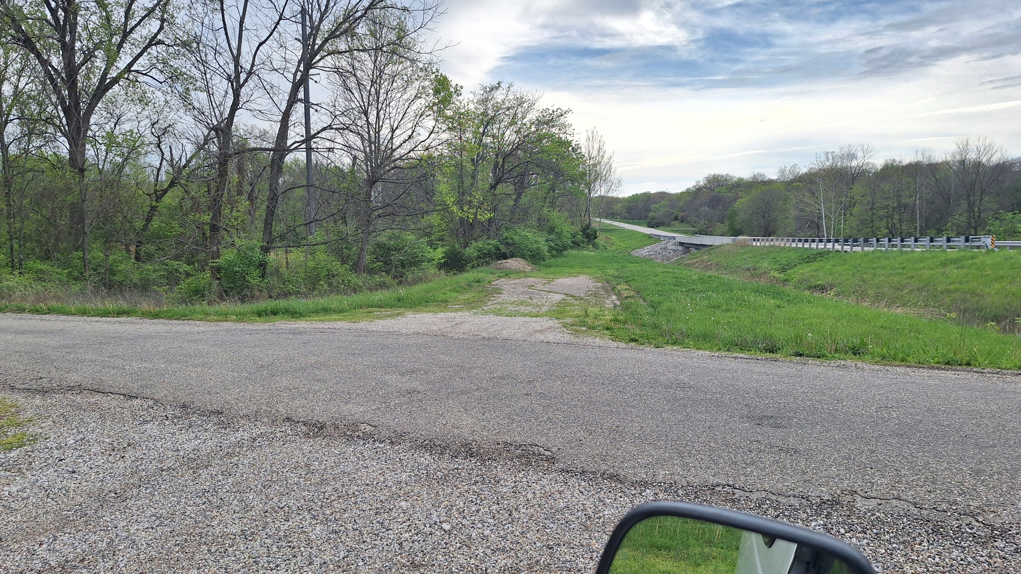
Illinois: The National Road
(m6fi-national-il-2026-0418.1615) The National Road, After Driving west for a while, I espy the end of this Red Brick Road

To go back to the Gallery Index, click on the down arrow. Go back to the
Gallery Index Go to previous section
on this page

Thank you for visiting The Wayƒarers Journal.

See Ya above the Treeline!

This Page Last Updated: 30 April 2026


To continue to the next Episode Level page, Click here go to top
 
The Wayƒarers Journal © ::: Come Join the Journey ™
by Thom Buras
Come Join the Journey ™