|
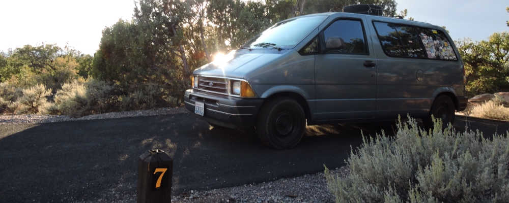
Sunset Campground, Navajo National Monument
The campground is located within the Navajo National Monument, Arizona.
In northeast Arizona on US 160 southwest of Kayenta, when you see a sign stating: "Navajo Natl Monument, 9 miles ➔" turn north onto Arizona State Highway 564 and travel nine miles to the monument. Just after entering the national monument, the campground is on the left.
Coordinates:
36.6774783, -110.5420932
Elevation:
7280 feet
Geographical Region
Basin and Range Region of Arizona
Ancient Steps:
This park create in 1909 for the purpose to protect the long cultural history found in the ruins of three large pueblos, all of which date back to about the 1200 CE, which three ruins are: Keet Seel, Betatakin, and Inscription House.
Archaeological evidence documents human use of this region for several thousand years. The earliest people to live in the area of the Tsegi and Nitsin Canyon, were of those who came across the Bering land bridge during the second migration, people now known as the
Uto-Aztecan speaking people, who were some of the first
wayƒarers in this area of the continent.
These people, at first, were hunters and gatherers, who relied on hunting wild animals and gathering wild plants for food. They were also highly mobile, who moved around a large region to gather food with the changing seasons. However, it is due to this life style that their archaeological footprint is limited.
From about 1000 BCE the wayfarer cultures began to transform to a more settled lifestyle, one where the dependence on agriculture increased and their architecture improvement continued. They began to develop larger settlements, many of which are now in ruins such as the ones seen in the Tsegi and Nitsin canyons today.
|