|
The Kancamagus Highway Information
This highway, known locally as SH 112, which crosses through the White Mountain National Forest is one of, if not the most scenic highway to drive in the United States, and this is especially true in the fall when the foliage is at peak color.
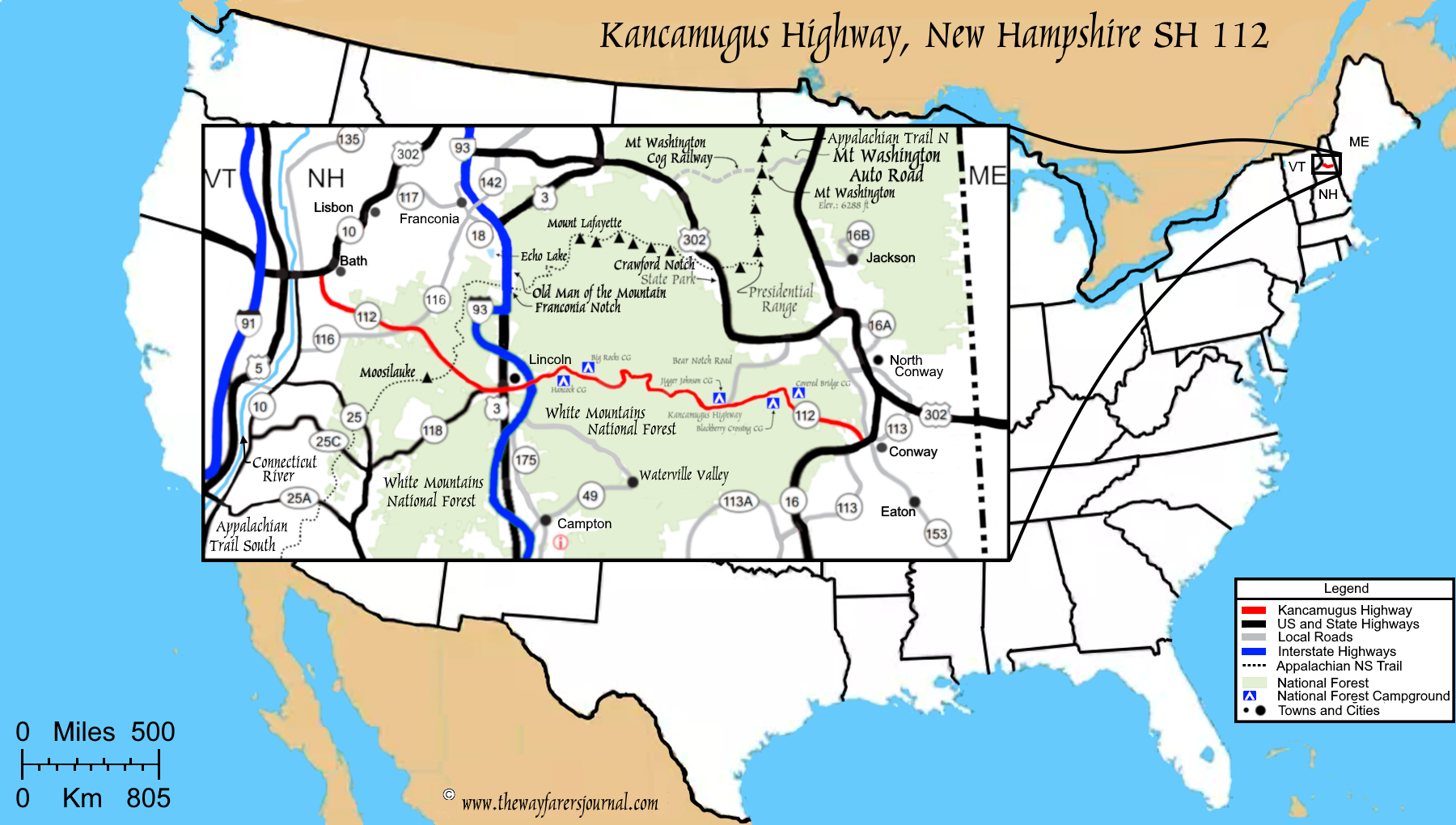
Constructed jointly by the New Hampshire Highway Department, U.S. bureau of Public Roads and the U.S. Forest Service, this highway was extended an additional 34.5 miles from Lincoln, NH at IH 93 through the Pemigewasset Wilderness, over Kancamagus Pass, and down through the Sandwich Range Wilderness along the Swift River to Conway, NH on the east side. This new section of the state highway was open for auto travel in 1959 and prior to when this highway opened, there was no other way thought these wilderness areas except by foot.
Prior to the above extension, state highway 112 traversed west from Lincoln, New Hampshire through the western part of the White Mountains national forest until reaching US 302 just south of Bath, New Hampshire.
The Name
Kancamagus, was chosen as the name of this highway because prior to the European conquest of the eastern United States, there was an Algonquin tribe and descendants of the
Sons of Ophir, who by this time were know as the Pennacook and who called this their homeland. Kancamagus, (meaning Fearless One) in the Pennacook language, was the name of the third and final Sagamon (meaning Chief) of the Pennacook Conferdracy. Kancamagus, who was the grandson of Passaconaway succeeded his uncle Wonalancet in 1684.
Kancamagus stood as a force for peace between the natives and the Europeans, but the persistent harassment by the whites aggravated this chieftain until he could no longer allow their presumptuous and relentless advances to continue unresolved. He let loose the tumult of war, one causing much bloodshed, and by 1691 resulting in the near eradication of the tribe. After this war, Kancamagus, with his followers, moved to either northern New Hampshire or into Canada.
Many of the natural features in this Wilderness area are named after the people of the Pennacook. See if you can notice some of these names.
The Foliage in Color
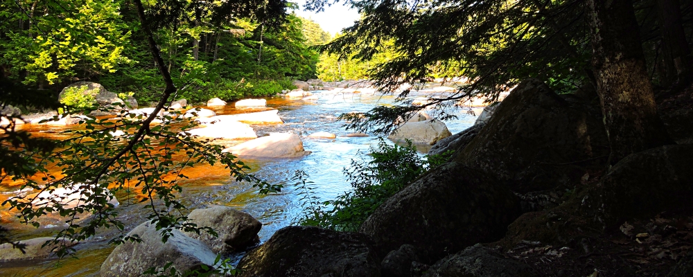
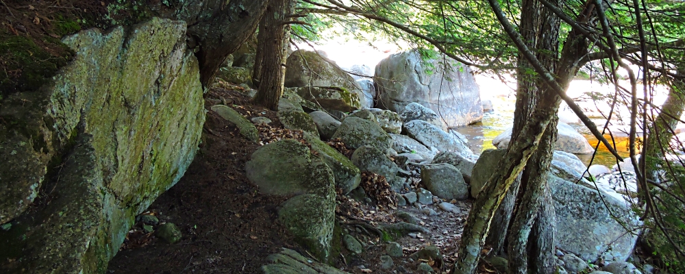
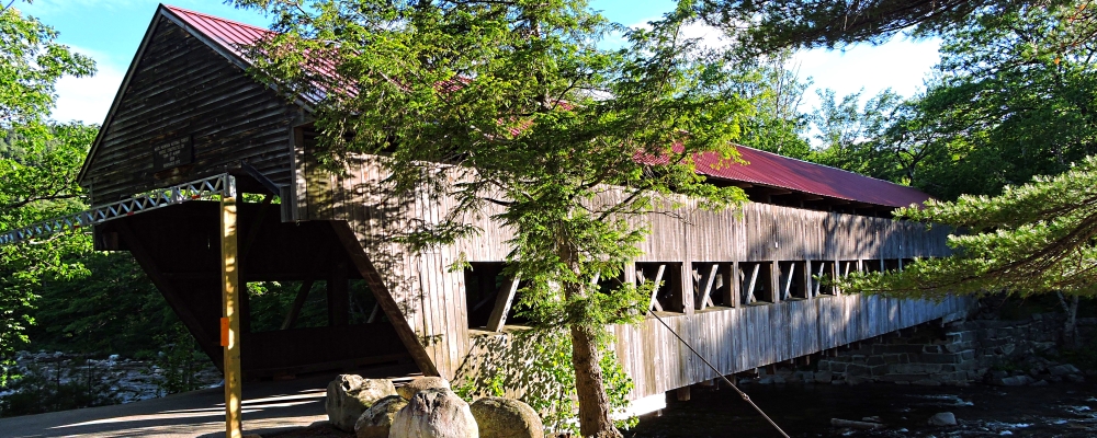
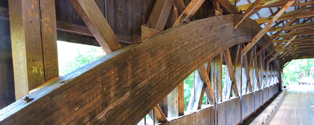
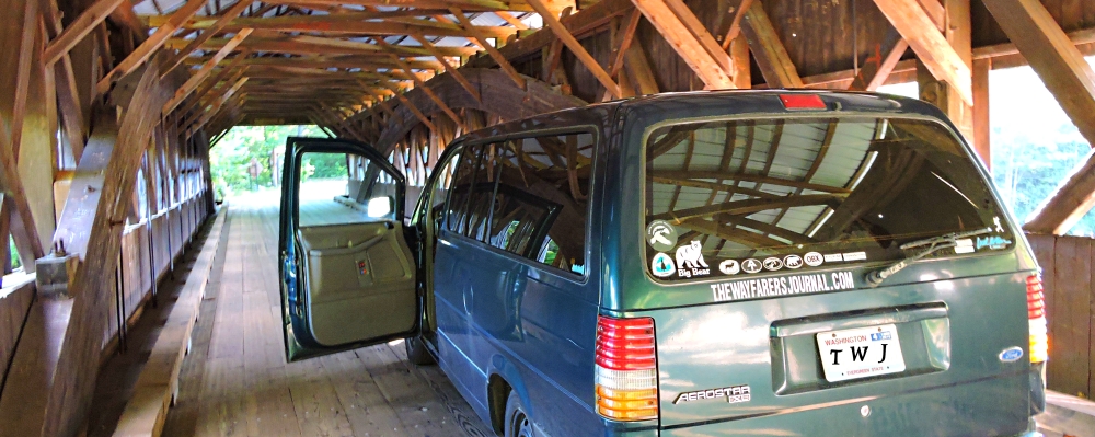
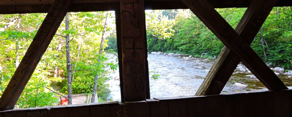
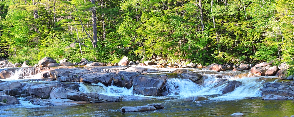
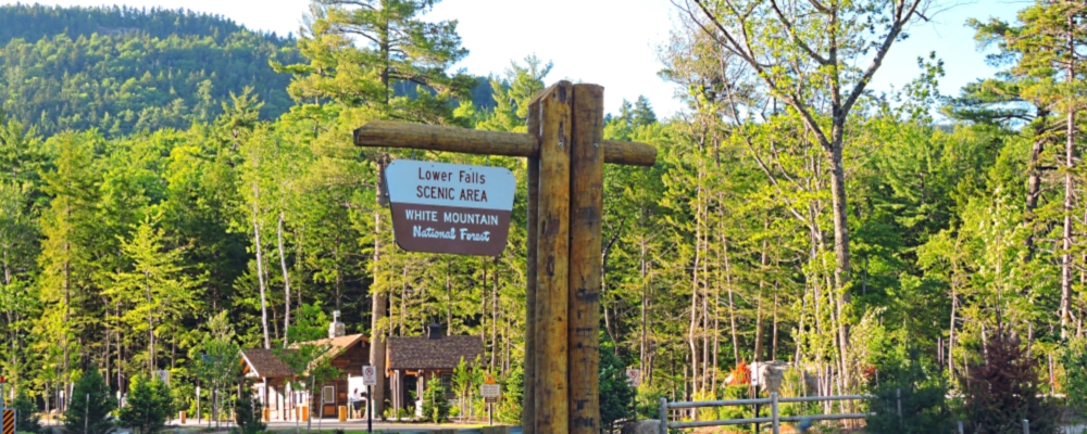
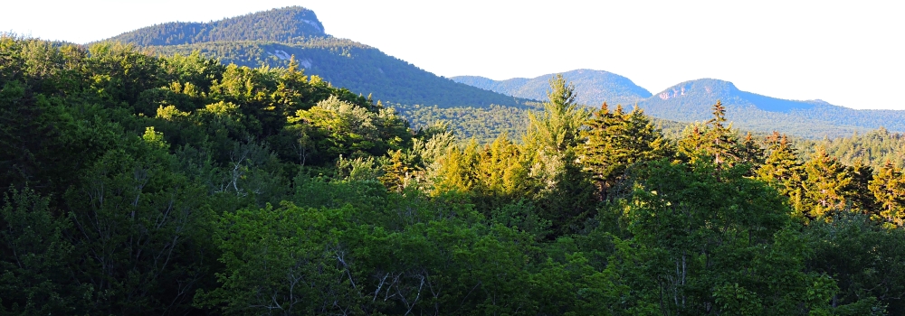
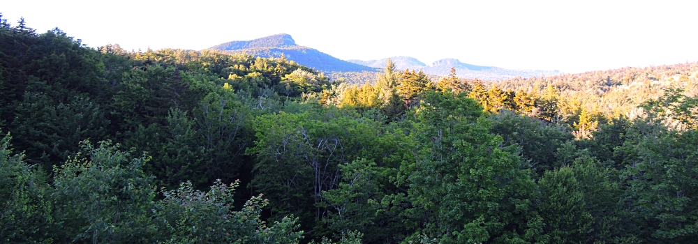
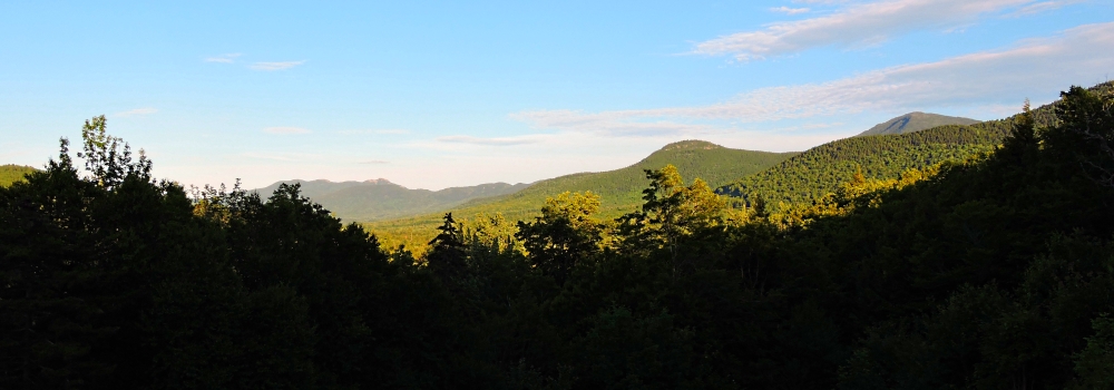
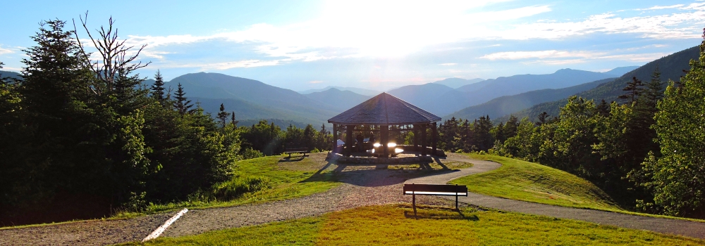
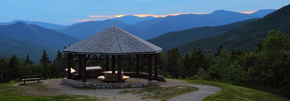
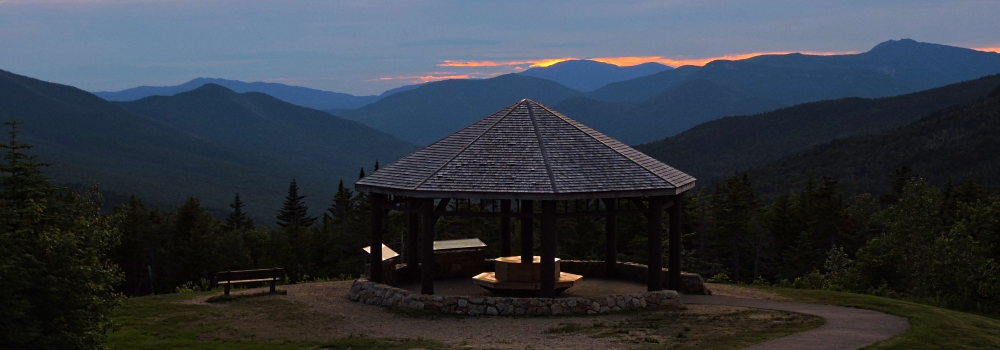
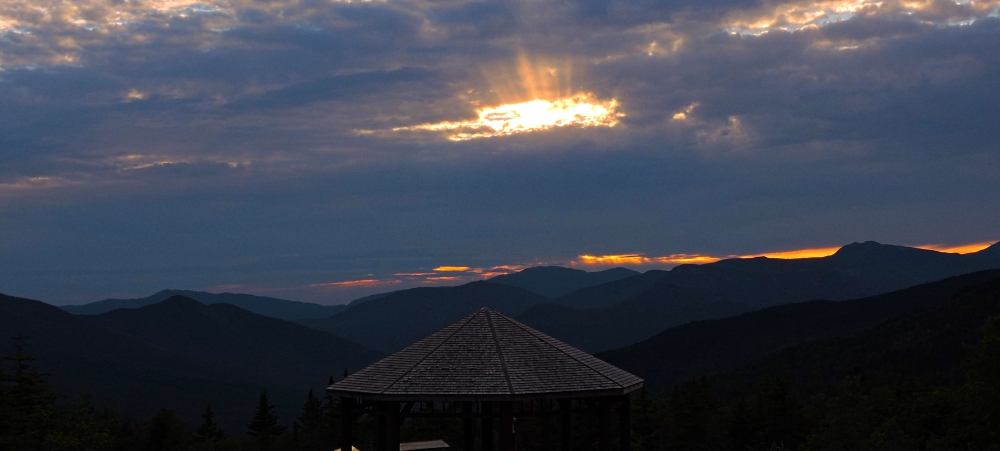
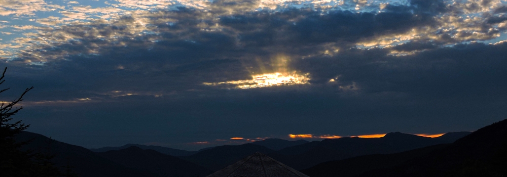
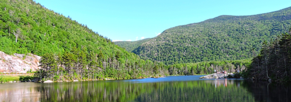
Although the below photos are not during the leaf peaking season, which season is a must see time for this scenic highway, nevertheless, this highway should be seen whenever one visits the White Mountain National Forest in north central New Hampshire.
Description:
Roadpath Type:
National Scenic Byway
Kancamagus Roadpath Total Length:
56.3 miles, 90.6 km
Roadpath Use:
tourism
Roadpath Waymark:
State highway signs
Terminus Point One (West):
Location:
Lincoln, New Hampshire. Junction US 3 with SH 112
Coordinates:
44.0295226, -71.6858230
Elevation:
755 feet
(SH 112 continues west to Bath, New Hampshire)
Terminus Point Two (East):
Location:
Conway, New Hampshire. Junction SH 3 with SH 112
Coordinates:
43.9782468, -71.1334968
Elevation:
475 feet
Highest Elevation on highway:
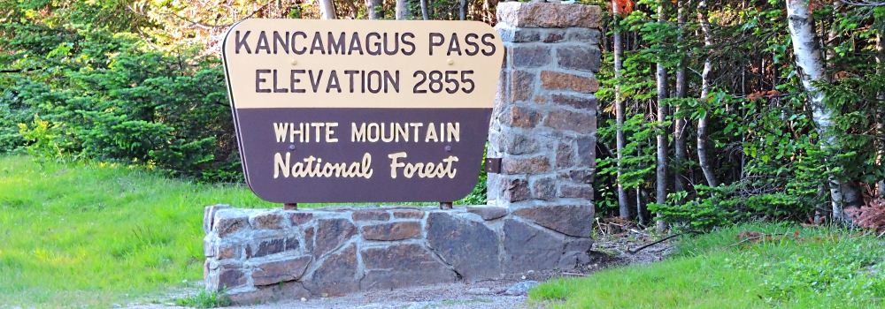
2855 feet,
Lowest Elevation on highway:
475 feet,
Geographical Region:
Appalachian Mountains
|