The Wayƒarers Journal ©

The Journal

The Wayƒarers

The Selƒ

The Journey

The Burden

The Mountain

   The Ancients
   The Earth

     Arches
     Canyons
     Caves
     Deserts
     Forests
     Regions
     Volcanoes

       Volcano Types
       Canada
       Alaska
       Arizona
       California
       Hawaii
       Idaho
       New Mexico
       Oregon
       Washington
       Wyoming
       Mexico

     Waterways
     Wonders

   The Life
   The Modern Man
   The Nonpareils
   The Steps
   The Way

The Appendix

The Wayƒarer
The Mountain
Go to bottom of this page
THE VOLCANOES
Oregon: The Newberry Volcano

The Newberry Volcanic Area Go Down Go Back
The Newberry Volcanic Area is a large active shield-shaped stratovolcano located 35 miles east of the major crest of the Cascade Range.
When taking into account it′s lava flows, the total area of coverage is 1,200 square miles, having roughly the same area as the state of Rhode Island and is considered the largest volcano in the Cascade Volcanic Arc. From north to south, the volcano streches 75 miles, with a width of 27 miles and a total volume of approximately 120 cubic miles.
Due to the volcanic area covering such a large area, several separate park sites have been created including Pilot Butte Cinder Cone, Lava Butte Cinder Cone and the Newberry Caldera containing both East Lake and Paulina Lake.
Named for the geologist and surgeon John Strong Newberry, who explored central Oregon for the Pacific Railroad Surveys in 1855.

Origin and Eruptions
It is believed that an independent hotspot developed from the subduction of the Juan de Fuca and Gorda oceanic tectonic plates under the North American continental tectonic plate.
Eruptive activity began about 600,000 years ago and continued into the Holocene with the last eruption 1,300 years ago. Unlike many volcanos with a shield shape, which only erupt basaltic lavas, Newberry has erupted basaltic, andesitic and rhyolitic lavas.
Though Newberry Volcano is currently quiet, the United States Geological Survey considers it to be an active volcano with a very high threat level. Hot springs within the caldera remain active, and small earthquakes have occurred within recent local history.
Future eruptions would likely show similar characteristics to eruptions from the past 15,000 years, ranging from effusive production of lava flows to explosive eruptions ejecting pumice and ash.

General Information:
Located in the Basin and Range Region, in the Lava Plains Ecoregion.

Ancient Steps:
The surrounding area has been inhabited by Native American populations for thousands of years.
The caldera was used to harvest obsidian, which they used to sharpen arrowheads and tools as well as to trade throughout the Pacific Coast region.

Campgrounds:
Paulina Lake Campground (43.710656, -121.273004)
Little Crater Campground (43.713691, -121.242824)
Cinder Hill Campground (43.729417, -121.195003)
East Lake Campground (43.723097, -121.192976)
Chief Paulina Trailhead Campground (43.703613, -121.255120)

Sites:
Paulina Falls (43.712108, -121.282527)
Paulina Lake Hot Springs (43.732088, -121.252336)
Paulina Peak Observation site (43.689309, -121.254705)

The 2018 Journey, Newberry Volcanic Area Go Down Go Up
Pilot Butte Cinder Cone
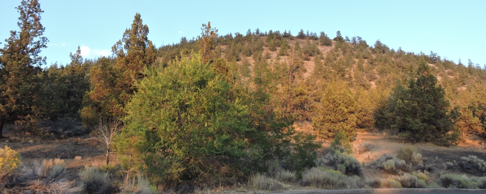
The Pilot Butte is an extinct cinder cone volcano which rises nearly 500 feet above the surrounding plains in the Newberry Volcanic Area.
Pilot Butte is located within the city of Bend, Oregon, which is one of only four cities in the United States to have a volcano within its boundaries.
Portland is the only other city in Oregon with a volcano within its city limits and is called Mount Tabor. The two others are Jackson Volcano in Jackson, Mississippi, and Diamond Head in Honolulu.

Geography and Geology
Elevation: 4142 feet
Coordinates: 44.060591, -121.283262
Prominence: 480 feet
Age of Rock: 780,000 years
Volcano Type: Extinct Cinder Cone
Last Eruption: 188,000 years ago
Newberry Volcano
Pilot Butte Cone
(m2vo-or-newberry-2018-0825.1926) Pilot Butte Cinder Cone
Newberry Volcano
Pilot Butte Cone
(m2vo-or-newberry-2018-0825.1929) Pilot Butte Cinder Cone
Newberry Volcano
Pilot Butte Cone
(m2vo-or-newberry-2018-0825.1930) Pilot Butte Cinder Cone
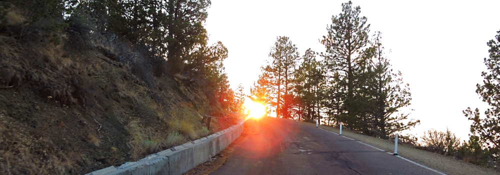
Pilot Butte state scenic viewpoint is a Bend icon and a popular hiking destination with two trails to the summit. There is also a scenic road that winds up and around the cone to the summit.
From the top, the city of Bend is visible as well as several major Cascade peaks. Most prominent are the Three Sisters, Broken Top, and Mount Bachelor which are located about 20 miles to the west.
Pilot Butte was named in 1851 by Thomas Clark, leader of the first party of European settlers to camp on the future site of Bend.

Popular Sunset Viewing
Pilot Butte Cone
Popular Sunset Viewing
(m2vo-or-newberry-2018-0825.1939) Pilot Butte Cone, Popular Sunset Viewing
Pilot Butte Cone
Popular Sunset Viewing
(m2vo-or-newberry-2018-0825.1956) Pilot Butte Cone, Popular Sunset Viewing

The 2013 Journey, Newberry Volcanic Area Go Down Go Up
Newberry Volcano
The Newberry volcano has a caldera about four by five miles in diameter and contains two lakes, Paulina Lake and East Lake, pyroclastic cones, lava flows, lava domes and more than 400 vents, the most of any volcano in the contiguous states.

Geography and Geology
Highest Summit: Paulina Peak
Elevation: 7989 feet
Coordinates: 43.689195, -121.25489
Prominence: 3214 feet
Age of Rock: 600,000 years
Volcano Type: Combination of Shield and Composite
Last Eruption: 1300 years ago
Volcanic Arc: Cascade Volcanic Arc
Easiest Route to Summit: NF-500 road
Newberry Volcano
Paulina Peak
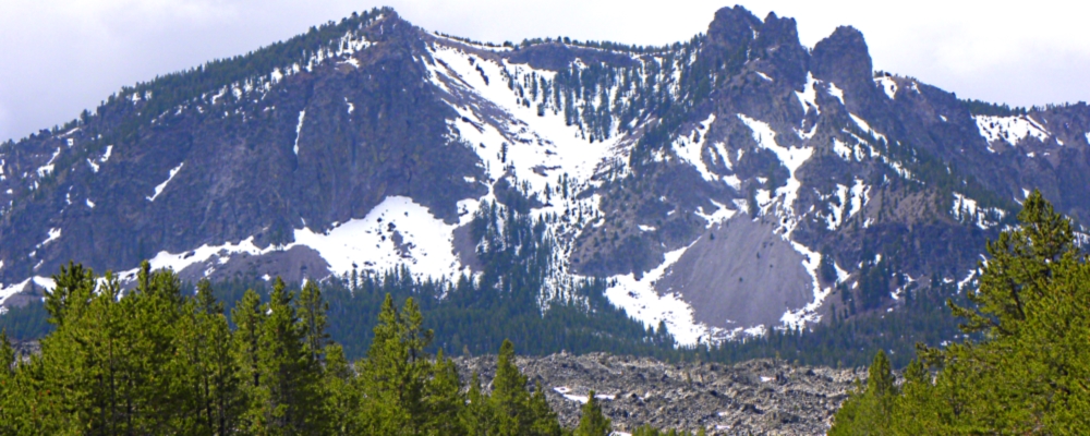
(m2vo-or-newberry-2013-0521.1207) Newberry Volcano, Paulina Peak
Newberry Volcano
East Lake
(m2vo-or-newberry-2013-0521.1139) Newberry Volcano, East Lake
Newberry Volcano
Obsidian Flow Trail
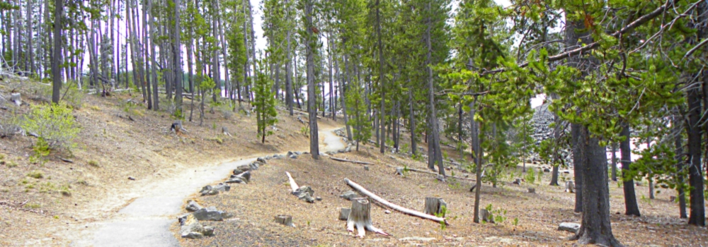
(m2vo-or-newberry-2013-0521.1213) Newberry Volcano, Trail to Obsidian Flow
Newberry Volcano
Obsidian Flow Trail
(m2vo-or-newberry-2013-0521.1221) Newberry Volcano, Obsidian Flow Trail Lake
Newberry Volcano
Obsidian Flow Trail
(m2vo-or-newberry-2013-0521.1224) Newberry Volcano, Trail to Obsidian Flow Lake
Newberry Volcano
Obsidian Flow Up Close
(m2vo-or-newberry-2013-0521.1230) Newberry Volcano, Obsidian Flow Up Close
Newberry Volcano
Obsidian Flow Trail
(m2vo-or-newberry-2013-0521.1305) Newberry Volcano, Paulina Falls
Newberry Volcano
Obsidian Flow Trail
(m2vo-or-newberry-2013-0521.1311) Newberry Volcano, Paulina Falls

Lava Butte Cinder Cone
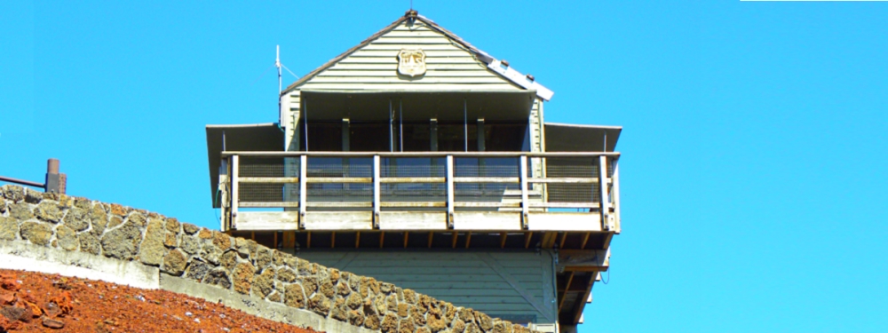
As Part of Newberry Volcano, Lava Butte is a cinder cone in central Oregon, United States, just off of US Highway 97. It is part of a system of small cinder cones on the northwest flank of Newberry Volcano, a massive shield volcano which rises to the southeast.
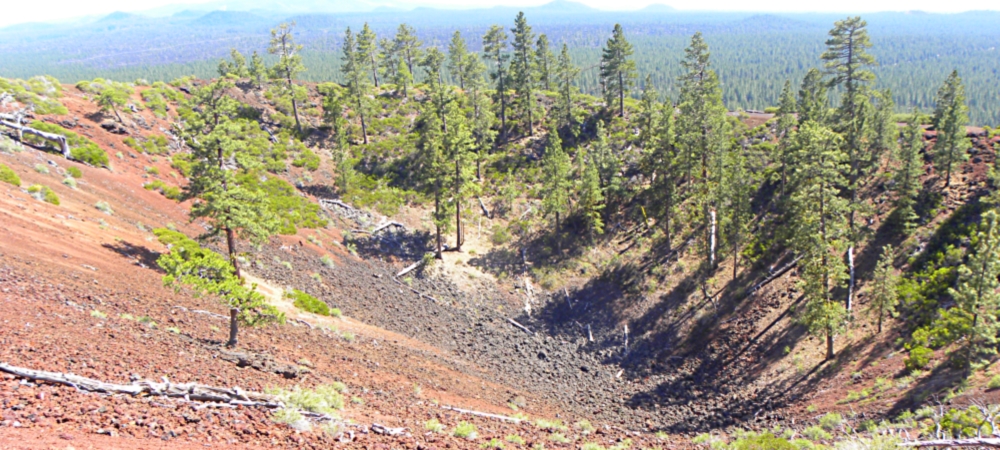
The cinder cone is capped by a crater which extends about 60 feet (20 m) deep beneath its south rim, and 160 feet (50 m) deep from the 5,020-foot (1,530 m) summit on its north side.

Geography and Geology
Elevation: 5023 feet
Coordinates: 43.917857, -121.356033
Prominence: 509 feet
Age of Rock: 7000 years
Volcano Type: Cinder Cone
Last Eruption: 7000 years ago
Lava Butte
View Tower
(m2vo-or-newberry-2013-0520.1525) Lava Butte View Tower
Lava Butte Crater
View at Parking Lot
(m2vo-or-newberry-2013-0520.1524) Lava Butte Crater from parking lot
Lava Butte
View from Tower
(m2vo-or-newberry-2013-0520.1526) Lava Butte, View from Tower
Lava Butte
View from Tower
(m2vo-or-newberry-2013-0520.1527) Lava Butte, View from Tower
Visitor Center
Unloading Zone
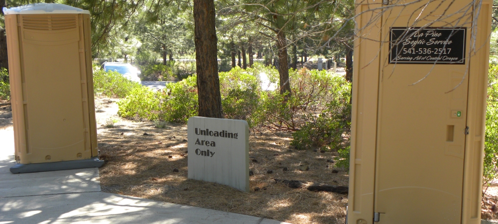
(m2vo-or-newberry-2013-0520.151613) Lava Butte, Visitor Center Unloading Zone

To go back to the Gallery Index, click on down arrow. Go Back Go to previous section
on this page

Thank you for visiting The Wayƒarers Journal.

See Ya above the Treeline!


To continue to the next Episode Level page, Click here go to top
 
The Wayƒarers Journal © ::: Come Join the Journey ™
by Thom Buras
Come Join the Journey ™